This item has been sold, but you can get on the Waitlist to be notified if another example becomes available, or purchase a digital scan.
1948 Pictorial Tourist Map of Florida
FloridaSunshineState-tourist-1948$125.00

Title
Come to Florida The Sunshine State.
1948 (undated) 21 x 20 in (53.34 x 50.8 cm) 1 : 1584000
1948 (undated) 21 x 20 in (53.34 x 50.8 cm) 1 : 1584000
Description
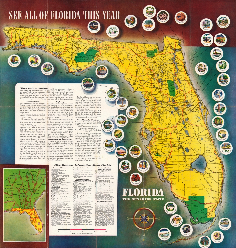
This is a c. 1948 pictorial map of Florida promoting the state's many enticements. Published during Florida's post-World War II (1939 - 1945) population boom, it also promotes emigration, noting that the population increased 29.2% between 1930 and 1940.
A Closer Look
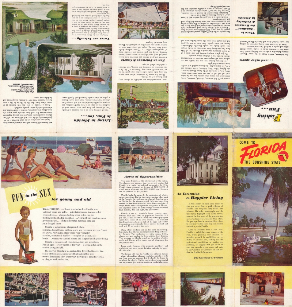
A road map of Florida dominates the sheet. Numerous highways crisscross the state, and cities and towns are labeled. National forests and Everglades National Park are shaded green. Circular pictorial icons highlight attractions across the state and vary from state forests to well-known sites, including Silver Springs, the Bok Tower, and the Overseas Highway. Text extolling Florida's many virtues and photographs portraying the state as an idyllic, fun-filled fantasy land where people can live fill the verso.Publication History and Census
This map was published c. 1948 by an unknown group, likely a tourism organization in Florida. We are aware of one other example in private hands.Condition
Fair. Wear along original fold lines. Verso repairs to fold separations. Slight loss at fold intersections and along fold lines. Text and printed images on verso.


