This item has been sold, but you can get on the Waitlist to be notified if another example becomes available, or purchase a digital scan.
1953 Henry Gross City Plan or Map of St. Louis, Missouri
GreaterStLouis-henrygross-1953$112.50

Title
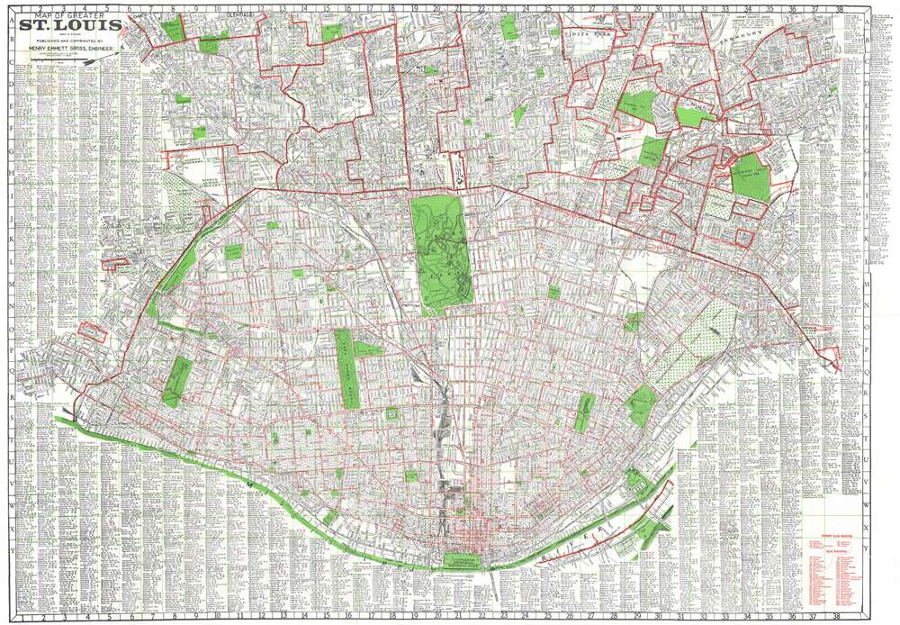
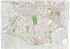
Map of Greater St. Louis.
1953 (undated) 28.5 x 40.25 in (72.39 x 102.235 cm) 1 : 23040
1953 (undated) 28.5 x 40.25 in (72.39 x 102.235 cm) 1 : 23040
Description
This is c. 1953 Henry Emmett Gross city plan or map of St. Louis, Missouri. The thick red lines mark the city limits of St. Louis and by the same logic the boundaries of various suburbs. The thin red lines within St. Louis and, in one case, outside St. Louis, mark streetcar and bus lines. Streets throughout the city are illustrated and labeled. The city's many parks are shaded green, along with Jefferson Memorial National Park along the Mississippi River, now called Gateway Arch National Park. A complete alphabetical street index practically borders the map on three sides.
Publication History and Census
This map was created and published by Henry Emmett Gross c. 1953. We have not located any examples with institutional collections, but we have encountered other examples on the private market.Cartographer
Henry Emmett Gross (August 8, 1906 - April 3, 1982) was an American engineer and map publisher. Born in Glendale, Missouri, in 1928 Gross received a bachelor's degree in engineering from the Missouri School of Mines and then went on to receive a master's degree in engineering from the University of Illinois. From 1936 until 1938, Gross taught petroleum engineering at the University of Oklahoma and then taught the same subject at Texas A and M from 1938 until 1942. During World War II, Gross lived in Chicago and directed the district engineering office of the federal government's Petroleum Administration for War. In 1945, Gross became the chief production engineer of the Kingwood Oil Company in Effingham, Illinois. However, he left a year later to take over the Gross Map Company in St. Louis. He owned and operated the Gross Map Company (which published maps of the St. Louis area) from 1946 until 1973 when he retired. The map company closed upon his retirement. Gross patented several inventions during his life, including a marine foundation for deep-water oil drilling and deep-sea salvage equipment for raising sunken ships, for which he became an honorary member of the Explorers Club. He married his wife, the former Margrete Brauer, in 1941 in Norman, Oklahoma. More by this mapmaker...
Condition
Very good. Exhibits light wear along original fold lines. Exhibits minute areas of loss where previously attached to binder.