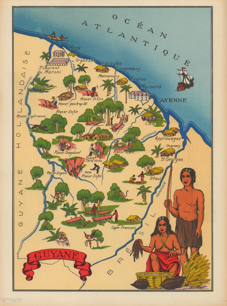
1943 Jylbert Pictorial Map of French Guiana
Guyane-jylbert-1943
Title
1943 (dated) 14.5 x 11 in (36.83 x 27.94 cm)
Description
A Closer Look
Coverage embraces French Guiana bounded on the west by the west by Surinam (Dutch Guiana) and the Maroni River and on the east by Brazil and the Oyapock River. Dense greenery throughout underscores the region's connection with the Amazon and its rich resources - mining, lumber, sugar plantations, and more. A portrait of two indigenous Guyanais adorns the bottom right.French Guiana During World War II
After the Fall of France in June 1940, French Guiana's governor, Robert Chot, aligned the colony with the Vichy regime led by Philippe Pétain. A small anti-Vichy resistance formed, but as the Chot government became entrenched, most went underground. At this point, the United States was still neutral and tacitly supported the pro-Vichy government in French Guiana. In April 1941, Chot granted a parcel of land to the United States (specifically Pan American Airways) to build an airfield. This move proved unpopular in French Guiana, and Chot was removed and replaced by René Veber. Under Veber, the population became more hostile toward the Vichy, and on March 16 and 17, 1943, demonstrations caused by food shortages and anti-Vichy sentiment ousted the pro-Vichy government. American President Franklin D. Roosevelt did not like De Gaulle, so the U.S. pushed for the appointment of the Giraudist Jean Rapenne. Nonetheless, the Conseil Général fired Rapenne and replaced him with a Gaullist, Jean Surlemont, in November 1943.Publication History and Census
This map was created by Jylbert and published by 'BD' in France in 1943. This piece does not appear in OCLC. We note only one other instance when this map has appeared on the private market.Cartographer
Jylbert (fl. c. 1934 - c. 1956) (known only by this pseudonym) was an illustrator active in France during the mid-20th century. They illustrated an edition of Voltaire's masterpiece Candide published in 1934. During World War II (1939 - 1945), Jylbert created a series of at least 20 pictorial maps published in 1943 that were likely used to teach the French Empire to schoolchildren. They also illustrated an atlas of French provinces that was published in 1943. Per OCLC, Jylbert illustrated editions of many celebrated novels during the 1950s, including Moby Dick, The Three Musketeers, Gulliver's Travels, and Treasure Island. More by this mapmaker...

