1827 Vandermaelen Map of Eastern Iran and Part of Afghanistan
Iran-vandermaelen-1827$550.00

Title
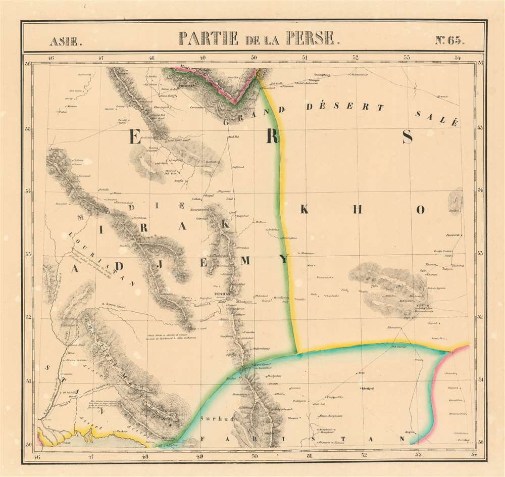
Partie de la Perse et du Caboul Asie no.66.
1827 (undated) 18.25 x 19 in (46.355 x 48.26 cm) 1 : 1641836
1827 (undated) 18.25 x 19 in (46.355 x 48.26 cm) 1 : 1641836
Description
This is the 1827 Vandermaelen map of the eastern deserts of Iran and the western part of Afghanistan. It is the first large-scale atlas map to focus on the area and the first to be executed in lithography. The map's detail - drawn from the first-hand exploration of John Macdonald Kinneir on behalf of the British East India Company - would not be improved upon until the First Anglo-Afghan War. The Iranian cities of Tabas and Torbat Heydariyeh appear in the northern part of the map. The Helmand River - here using its ancient name Etymander - is shown running through southern Afghanistan westward from its source in the Hindu Kush to the endorheic Sistan Basin. The Afghan cities of Farah and Herat appear, among many others. Tribal regions of the Ariana, the Alozyes, Noorzyes, Koonshee, and Shorawok are all marked as well.
Publication History
This map appeared in the second part, 'Asie,' of Vandermaelen's Atlas universel de géographie physique, politique, statistique et minéralogique. The atlas was produced in one edition in 1827; only 810 complete sets were sold. The full set of six volumes appears in eleven institutional collections in OCLC; the 2nd volume alone is listed in 12. This separate map does not appear physically in any listing in OCLC.CartographerS
Philippe Marie Guillaume Vandermaelen (December 23, 1795 - May 29, 1869) was a Flemish cartographer active in Brussels during the first part of the 19th century. Vandermaelen is created with "one of the most remarkable developments of private enterprise in cartography," namely his remarkable six volume Atlas Universel de Geographie. Vandermaelen was born in Brussels in 1795 and trained as a globe maker. It was no doubt his training as a globe maker that led him see the need for an atlas rendered on a universal scale in order that all bodies could be understood in relation to one another. In addition to his great work Vandermaelen also produced a number of globes, lesser maps, a highly detailed 250 sheet map of Belgium, and several regional atlases. More by this mapmaker...
Sir John Macdonald Kinneir (February 3, 1782 - June 11, 1830) was a Scottish army officer of the East India Company, diplomat and traveller. In 1804 he was appointed ensign in the Madras infantry, and posted in 1807 as lieutenant. He was attached to Sir John Malcolm's mission in Persia between 1808–9, during which time he travelled widely. He produced a Gazetteer of Persia in 1813, which for many years remained the best source of geographical data for that part of the world. In 1824 he was appointed envoy to Fath-Ali Shah Qajar of Persia, for the East India Company, arriving in time for the Russo-Persian War (1826–28). Learn More...
Source
Vandeermaelen, P., Atlas universel de geographie physique, politique, statistique et mineralogique, (Bruxelles: Vandermaelen) 1827.
Atlas Universel de Geographie. This great work, featuring some 378 unique maps and compiled over three years, was the first lithograph atlas, and the first to render the world on the same projection and at a uniform scale. It was no doubt Vandermaelen’s training a globe maker that led him see the need for an atlas rendered uniformly so that all bodies could be understood in relation to one another. As a result, many newly emerging areas received more attention than prior efforts. Maps of the American West, in particular, benefited: ‘no mapmaker had previously attempted to use such a large scale for any western American area.’ (Wheat). Central and South Asia also appear in sharper focus. Despite Vandermaelen’s reliance upon existing sources, his maps very frequently provided the clearest depictions available of many poorly-understood parts of the world. The atlas was an expensive production, costing $800 in 1827. Subscription lists indicate that only 810 full sets of the atlas were sold. It was printed on high-quality paper with superior hand coloring and was engraved in a clear, legible style. Conjoined, the maps of Vendermaelen's atlas would create a massive globe some 7.75 meters in diameter, a feat which was accomplished at the Etablissement Geographique de Brussels.
Condition
Very good. Some toning and freckling.
References
Rumsey 2212.098. No copies in OCLC.