
Vandermaelen, Philippe Marie Guillaume
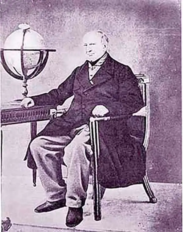
Philippe Marie Guillaume Vandermaelen (December 23, 1795 - May 29, 1869) was a Flemish cartographer active in Brussels during the first part of the 19th century. Vandermaelen is created with "one of the most remarkable developments of private enterprise in cartography," namely his remarkable six volume Atlas Universel de Geographie. Vandermaelen was born in Brussels in 1795 and trained as a globe maker. It was no doubt his training as a globe maker that led him see the need for an atlas rendered on a universal scale in order that all bodies could be understood in relation to one another. In addition to his great work Vandermaelen also produced a number of globes, lesser maps, a highly detailed 250 sheet map of Belgium, and several regional atlases.
Earliest Lithograph of the Aleutian Islands.
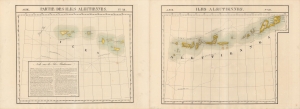
Partie des Iles Aleutiennes. Asie 38 / Iles Aleutiennes. Asie 39.
$1,200.00
Acquire
- Digital Map Information
- Suitable for large format printing
- Full resolution TIFF file
- ICC color profile embedded
- Delivered instantly via download link
An 1827 Phillipe Vandermaelen map of the Aleutian Islands, considered the earliest lithographed map of the islands. Vandermaelen's Atlas Universel was the first lithograph atlas as well as the first whose maps were printed on a universal scale. (more details)
First lithograph map of Baja.
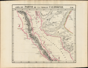
Partie de la Vieille Californie. Amer. Sep. no. 58.
$750.00
Acquire
- Digital Map Information
- Suitable for large format printing
- Full resolution TIFF file
- ICC color profile embedded
- Delivered instantly via download link
This is the 1827 Vandermaelen map of Baja California, the Gulf of California, and Northwestern Mexico. Vandermaelen's map provided the best large-format image of the region, presented with the remarkable clarity afforded by the new printing technology of lithography. Vandermaelen's Atlas Universel was the first lithographic atlas and the first to be printed on a universally consistent scale. (more details)
First lithograph map of Cabo San Lucas and Isla Socorro.
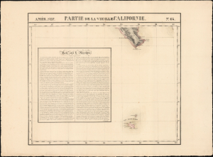
Partie de la Vieille Californie. Amer. Sep. no. 63.
$400.00
Acquire
- Digital Map Information
- Suitable for large format printing
- Full resolution TIFF file
- ICC color profile embedded
- Delivered instantly via download link
This is the 1827 Vandermaelen map of the tip of Baja California and the Revillagigedo Islands, off the coast of Northwestern Mexico. Vandermaelen's map provided the best large-format image of the region, presented with the remarkable clarity afforded by the new printing technology of lithography. Vandermaelen's Atlas Universel was the first lithographic atlas and the first to be printed on a universally consistent scale; his strict adherence to that scale meant that his maps could, conceivably, have been joined to make a single massive map. As a result, many of his maps presented areas such as this: unprecedented focus on nonintuitively chosen regions. (more details)
State of the Art Mapping of Afghanistan.
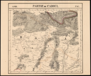
Partie du Caboul Asie no.67.
$750.00
Acquire
- Digital Map Information
- Suitable for large format printing
- DPI: 600
- File Size: 58.86 MB
- File Type: ZIP / TIFF
- ICC color profile embedded
- Delivered instantly via download link
This is the 1827 Vandermaelen map of Afghanistan, Pakistan, and the Hindu Kush. It is the first large-scale atlas map to focus on the area, and the first to be executed in lithography. The map's detail - drawn from the first-hand exploration of John Macdonald Kinneir on behalf of the British East India Company - was not superseded until the First Anglo-Afghan War (1838 - 1842). (more details)
First lithograph map of Central India.
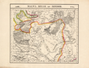
Malwa, Berar et Beeder. Asie no. 94.
$500.00
Acquire
- Digital Map Information
- Suitable for large format printing
- DPI: 600
- File Size: 66.84 MB
- File Type: ZIP / TIFF
- ICC color profile embedded
- Delivered instantly via download link
This is the 1827 Vandermaelen map of the central Indian provinces of Malwa, Berar, and Bidar. It is the first large-scale atlas map to focus on the area, and the first to be executed in lithography. It includes the cities of Bhopal (Bopaul) and Nagpur (Nagpoor), and extends as far east as the coastal province of Odisha. It extends as far north as Sagar in Madhya Pradesh and as far south as the Northern Circars of the Madras Presidency. Topography is pictorial, illustrating the mountains of the province with vigorous hachuring. Vandermaelen appears to have drawn heavily, but not universally, from the maps of Aaron Arrowsmith to inform his work here. (more details)
First Lithograph Map of Iran and Afghanistan.
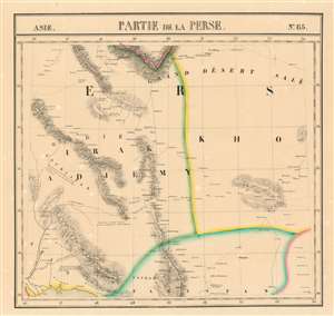
Partie de la Perse et du Caboul Asie no. 66.
$450.00
Acquire
- Digital Map Information
- Suitable for large format printing
- DPI: 600
- File Size: 23.58 MB
- File Type: ZIP / TIFF
- ICC color profile embedded
- Delivered instantly via download link
This is the 1827 Vandermaelen map of the eastern deserts of Iran and the Western part of Afghanistan. It is the first large-scale atlas map to focus on the area, and the first to be executed in lithography. (more details)
South Sumatra and the Sunda Strait.
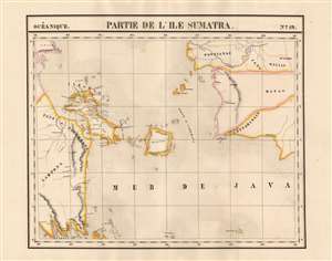
Partie de L'ile Sumatra. Oceanique no. 19.
$750.00
Acquire
- Digital Map Information
- Suitable for large format printing
- Full resolution TIFF file
- ICC color profile embedded
- Delivered instantly via download link
This is 1827 Vandermaelen map of Sumatra's east coast, the Caremata Straits, the Sunda Strait, and the western part of the Java Sea. It is the first map of the region produced by lithography. The map extends as far as the southwest coast of Borneo, and also shows the Bangka Belitung Islands, and the island of Belitung. The coast of Java only appears in the form of the mountainous peninsula north of Cilegon. The scattered, tiny islands north of Jakarta appear here as a largely imaginary archipelago labeled 'Les Milles Iles.' (more details)
Earliest lithograph map of New Caledonia and the Loyalty Islands.
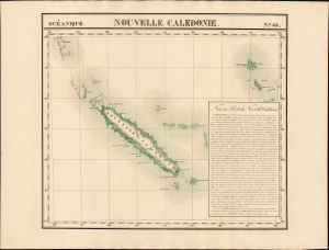
Nouvelle Caledonie. Océanique no. 46.
$500.00
Acquire
- Digital Map Information
- Suitable for large format printing
- Full resolution TIFF file
- ICC color profile embedded
- Delivered instantly via download link
This is the 1827 Vandermaelen map of New Caledonia, the Loyalty Islands, Erromango, and Tanna. It is the first lithographic map of these islands, and one of the first overall to focus so narrowly on them. It is accompanied by an extensive French text describing Cook's discovery of New Caledonia, the island's mountainous topography, and (with an almost palpable shiver) the cannibalistic propensities of its inhabitants. (more details)
Earliest lithograph of the Society Islands.
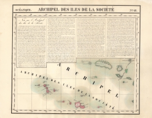
Archipel Des Iles De La Société. Océanique no. 42.
$350.00
Acquire
- Digital Map Information
- Suitable for large format printing
- File Size: 26.08 MB
- File Type: ZIP / TIFF
- ICC color profile embedded
- Delivered instantly via download link
This is the 1827 Vandermaelen map of the Society Islands, Tahiti, and French Polynesia. It summarizes the European discoveries leading up to, including, and following Captain Cook. It is the first lithographic map of these islands. It is here accompanied by an extensive French text describing the region and its recent history: the arrival of European missionaries, for example, the rise of the Põmara kingdom, and its change to constitutional monarchy. The region was still being actively explored in the 1820s, and this is reflected on the map. (more details)
First lithograph map of Xinjiang, China.
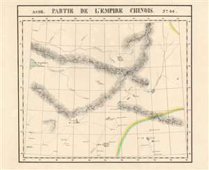
Partie de L'Empire Chinois. Asie no. 44.
$400.00
Acquire
- Digital Map Information
- Suitable for large format printing
- Full resolution TIFF file
- ICC color profile embedded
- Delivered instantly via download link
This is Vandermaelen's 1827 map of Xinjiang Province, northwestern China, and south-central Mongolia. It is the first map of the region produced by lithography. Xinjiang, even in the 19th century, remained for Europeans one of the least-understood parts of the world. (more details)
Rare, detailed map of the Republic of Paraguay.
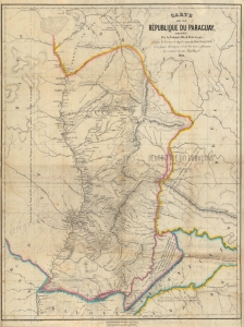
Carte de la République du Paraguay, Dressée Par le Colonel Alfred M. du Graty.
$950.00
Acquire
- Digital Map Information
- Suitable for large format printing
- File Size: 38.45 MB
- File Type: ZIP / TIFF
- ICC color profile embedded
- Delivered instantly via download link
A scarce 1861 Philippe Vandermaelen map of the Republic of Paraguay. The map was built upon the groundbreaking 1809 work by Spanish military engineer Félix de Azara, updated from contemporaneous sources: the reports of the riverine exploration of the United States Navy and the travels of the Belgian noble and military adventurer Baron Alfred Louis Hubert Ghislain Marbais du Graty. (more details)