This item has been sold, but you can get on the Waitlist to be notified if another example becomes available.
1972 Bollman Bird's Eye View Pictorial Map of Jerusalem, Israel w/original mailer
JerusalemBg-bollmann-1972$375.00

Title
Jerusalem.
1972 (dated) 21.25 x 35.25 in (53.975 x 89.535 cm)
1972 (dated) 21.25 x 35.25 in (53.975 x 89.535 cm)
Description
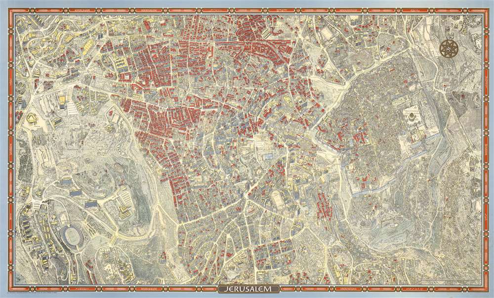
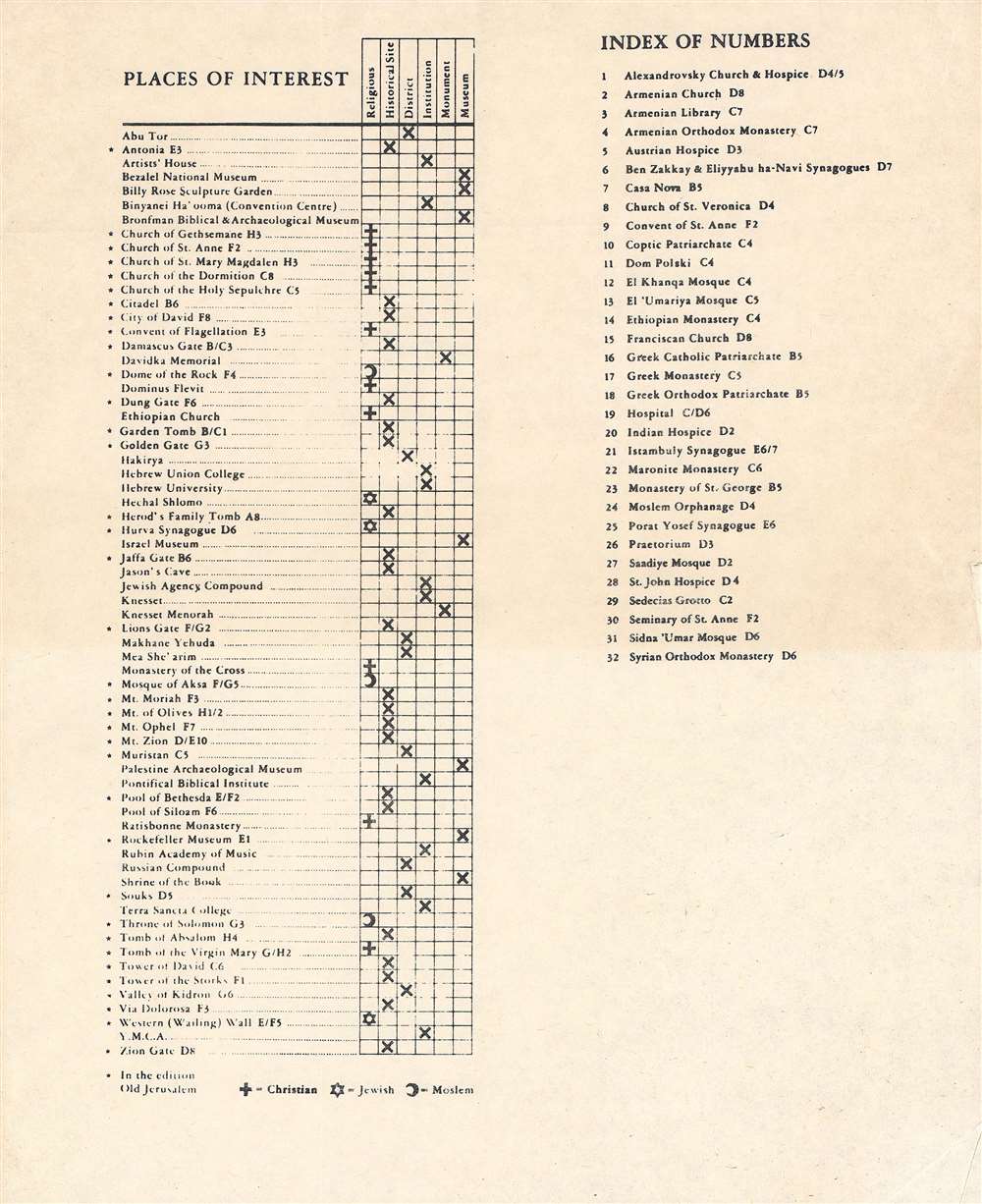
This is a 1972 second edition Herman Bollmann bird's-eye view pictorial map of Jerusalem accompanied by the original mailing tube and key - these latter two items being of exceptional rarity.
A Closer Look
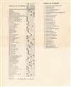
The map depicts the city from the Old City to Hebrew University. Buildings throughout Jerusalem are illustrated, including the Dome of the Rock, the Western Wall, the Al-Aqsa Mosque, the Church of the Redeemer, and the Church of the Holy Sepulcher. Gates in the walls are identified around the Old City. Myriad small buildings are illustrated within the Old City, and the Jewish Quarter, Christian Quarter, Muslim Quarter, and Armenian Quarter are each defined. Buildings and other sites outside the Old City are also labeled, including the Church of the Tomb of the Virgin, Gethsemane, David's Tomb, the Church of Dormition, and the Yemin Moshe Synagogue. Catholic, Protestant, Jewish, and Muslim cemeteries are identified. The whole is surrounded by a border bearing the name of Jerusalem translated into sixteen languages.Publication History and Census
This map by German Bollmann was published by Wim van Leer in many editions and states. The first edition was appeared in 1969/. The present 1972 second edition example was published in Haifa, Israel. The present second edition is well represented in OCLC.Cartographer
Herman Bollmann (1911 - 19??) was a German cartographer and map maker active from roughly 1940 to 1970. Prior to World War II, Bollmann was a well-known woodcarver and engraver based in Braunschweig, Germany. Following the war Bollmann developed a reputation as a printer of unique three dimensional maps. Working over a period of 25 years, Bollmann established a reputation as an artistic cartographer, producing over 39 unique projections of various cities in Europe and America. Bollmann revived the 19th century cartographic technique known as Vogelschaukarten, a way of making three dimensional axonometric projections. Bollmann and his team relied heavily on aerial cartography to compose distinctive cartographic masterpieces that are coveted by collectors all over the world. More by this mapmaker...
Condition
Very good. Accompanied by original mailing tube.
References
OCLC 505022034.