This item has been sold, but you can get on the Waitlist to be notified if another example becomes available.
1955 National Parks Pictorial Map of Kruger National Park, South Africa
KrugerNationalPark-parkboard-1955$100.00

Title
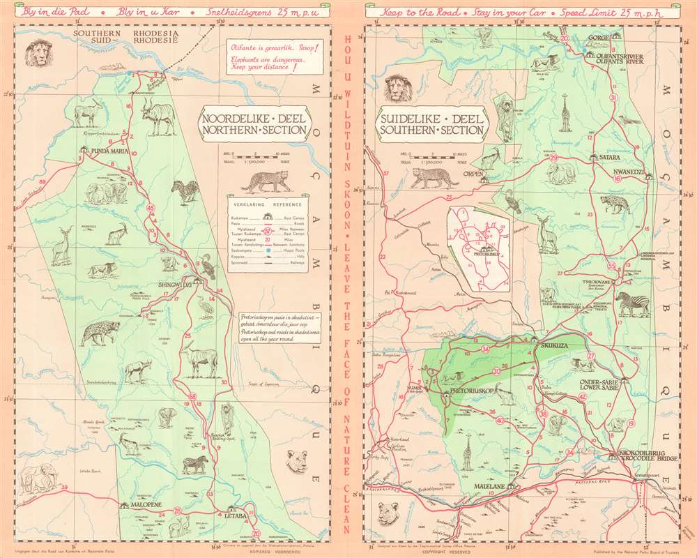
Kruger National Park Guide Map. Nasionale Krugerwildtuin Gidskaart.
1955 (undated) 16 x 20 in (40.64 x 50.8 cm) 1 : 500000
1955 (undated) 16 x 20 in (40.64 x 50.8 cm) 1 : 500000
Description
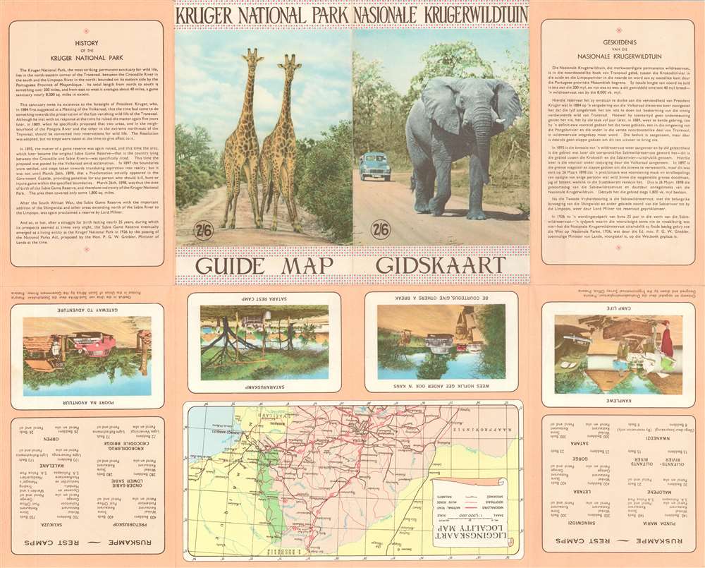
This is a c. 1955 Trigonometric Survey Office pictorial tourist map of Kruger National Park, South Africa. Printed in both Afrikaans and English, Kruger National Park is split into northern and southern sections. The park appears in two shades of green, with the darker sections emphasizing areas open year round. Illustrations highlighting African animals populate the map. Red lines trace the roads throughout the park with distances between rest camps and junctions noted. The small blue circles scattered throughout the park mark hippo pools.
Publication History and Census
This map was designed by the Trigonometric Survey Office and published by the National Parks Board of Trustees. An example is cataloged in OCLC and is part of the institutional collection at the Vrije Universiteit Amsterdam.Condition
Very good. Exhibits light wear along original fold lines. Text and printed images on verso.
References
OCLC 71549727.