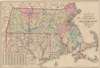
1882 Williams Railroad Map of Massachusetts, Connecticut, and Rhode Island
Massachusetts-williams-1882$275.00


Title
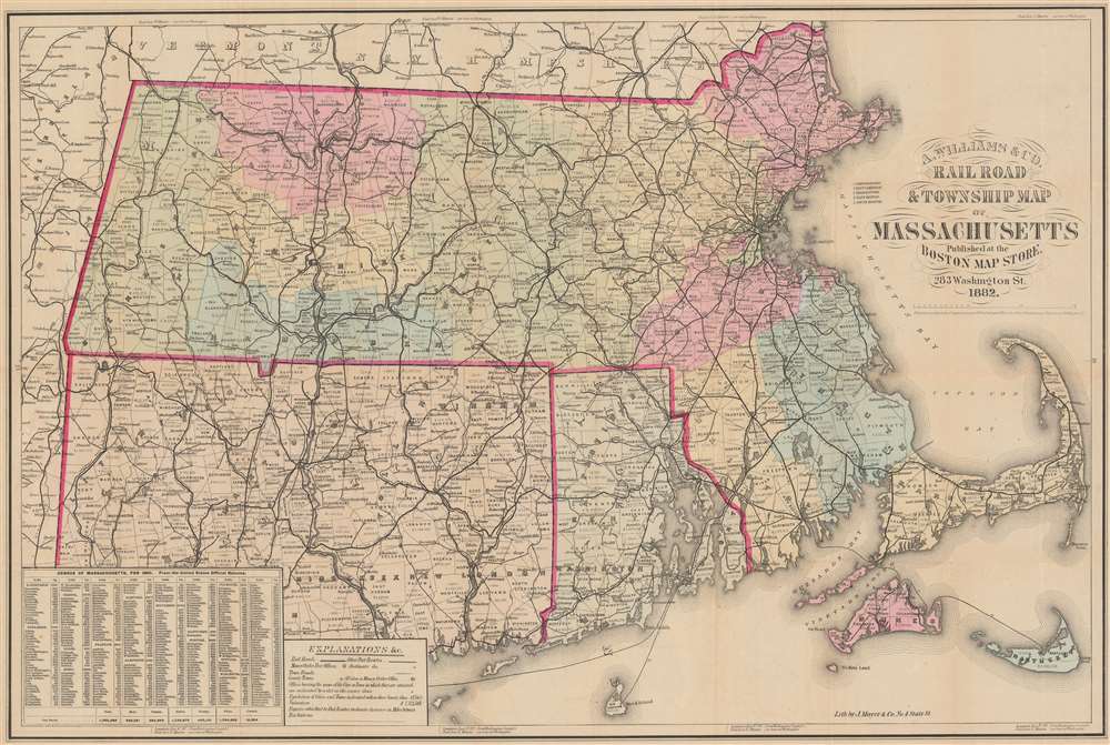
Railroad and Township Map of Massachusetts.
1882 (dated) 21.25 x 31.75 in (53.975 x 80.645 cm) 1 : 411870
1882 (dated) 21.25 x 31.75 in (53.975 x 80.645 cm) 1 : 411870
Description
This is an 1882 A. Williams and Company railroad map of Massachusetts, Connecticut, and Rhode Island. Bold black lines detail the railroad network. Distances between stops are noted, providing detail on travel distances. Among the illustrated railroads are the Boston and Providence Railroad, the New York and New England Railroad, and the Vermont and Massachusetts Railroad.
A Closer Look
Apart from detailing railroads, the map offers significant supplementary data. Cities and towns are delineated, with populations and valuations. Postroads are noted for those who prefer road travel. Data from the 1880 census for Massachusetts appears in the lower left.Publication History and Census
This map was copyrighted by Cook and Ellis in 1876 and published by A. Williams and Company in 1882. We note six examples cataloged in OCLC: Yale University, Wesleyan University, Harvard University, the Boston Athenaeum, the State Library of Massachusetts, and the National Library of Scotland.Condition
Very good. Wear along original fold lines. Verso repairs to fold separations. Slight loss at some fold intersections.
References
OCLC 8539776.