This item has been sold, but you can get on the Waitlist to be notified if another example becomes available.
1925 First Edition Hopkins Atlas of Miami and Miami Beach
MiamiAtlas-hopkins-1925$2,500.00
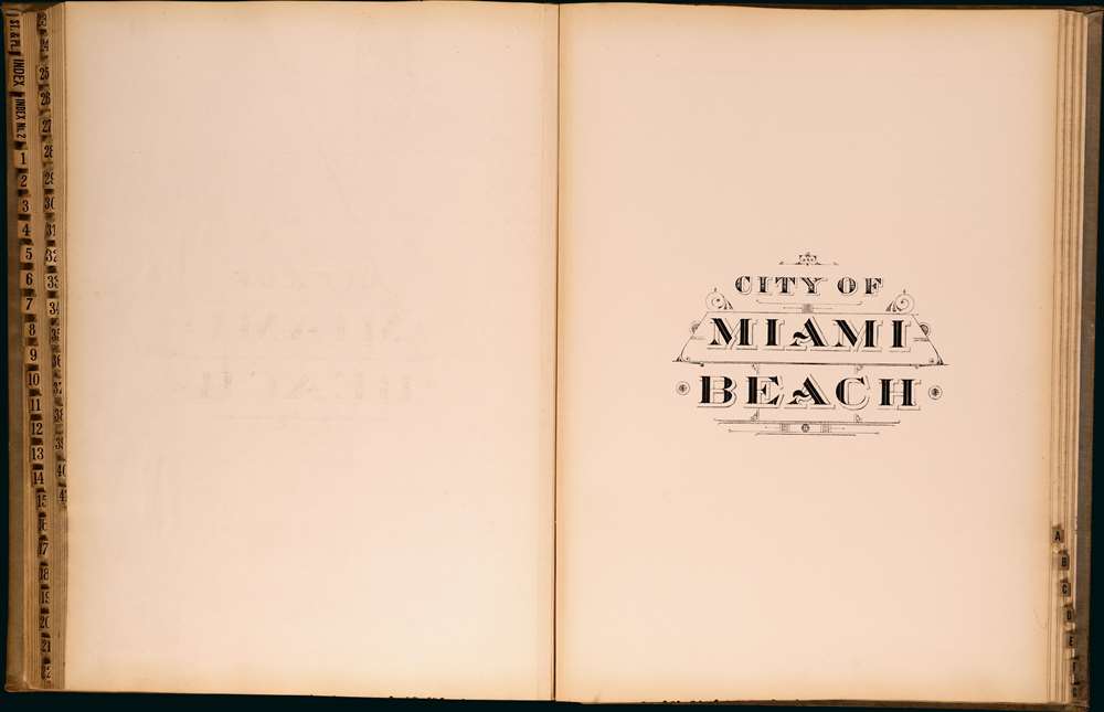


Title
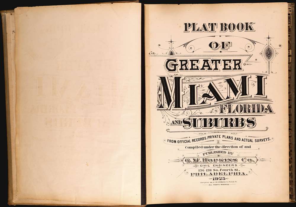
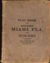
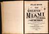
Plat Book of Greater Miami Florida and Suburbs from Official Records, Private Plans and Actual Surveys.
1925 (dated) 23.5 x 17.75 in (59.69 x 45.085 cm)
1925 (dated) 23.5 x 17.75 in (59.69 x 45.085 cm)
Description
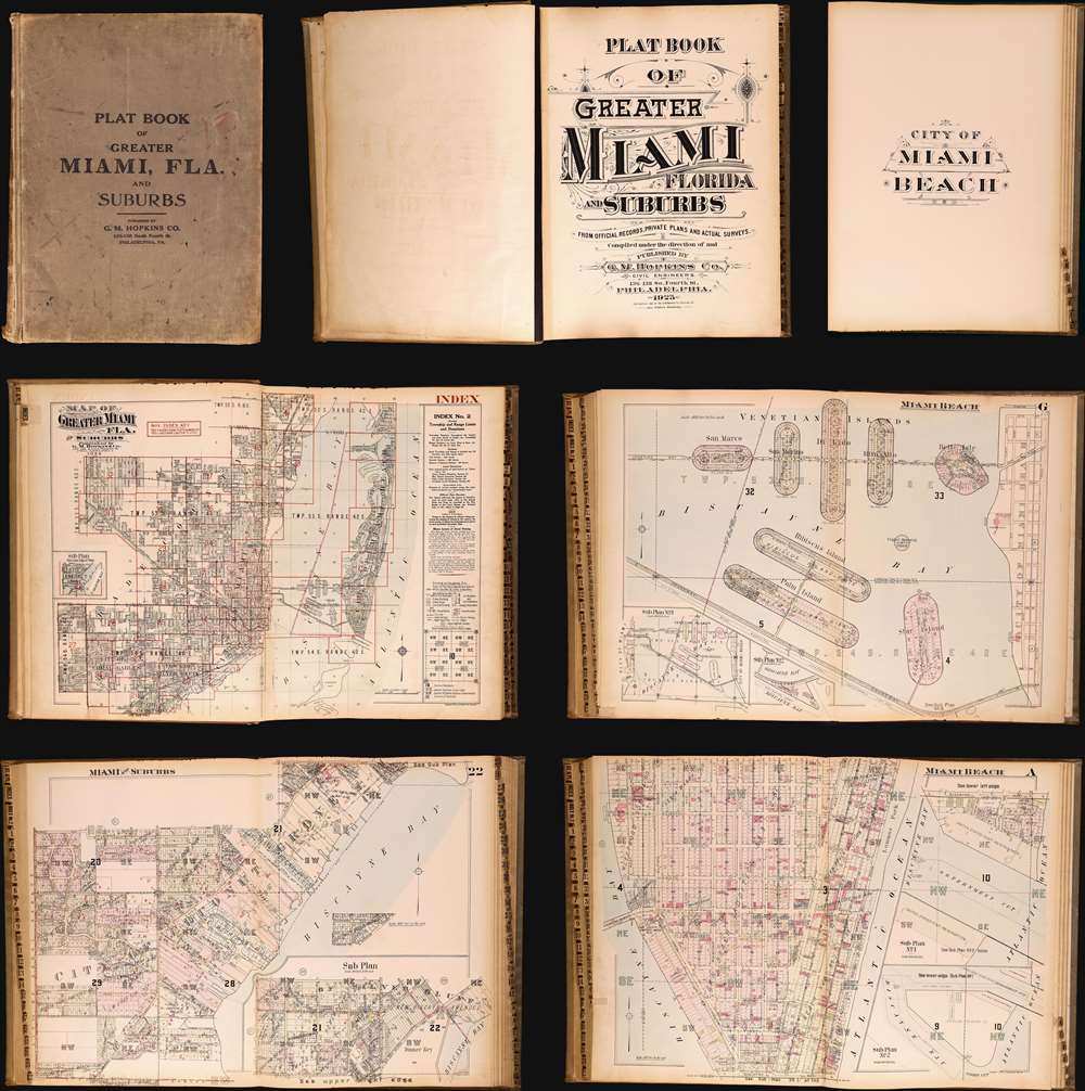
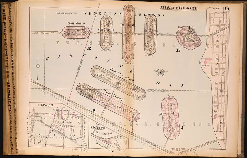
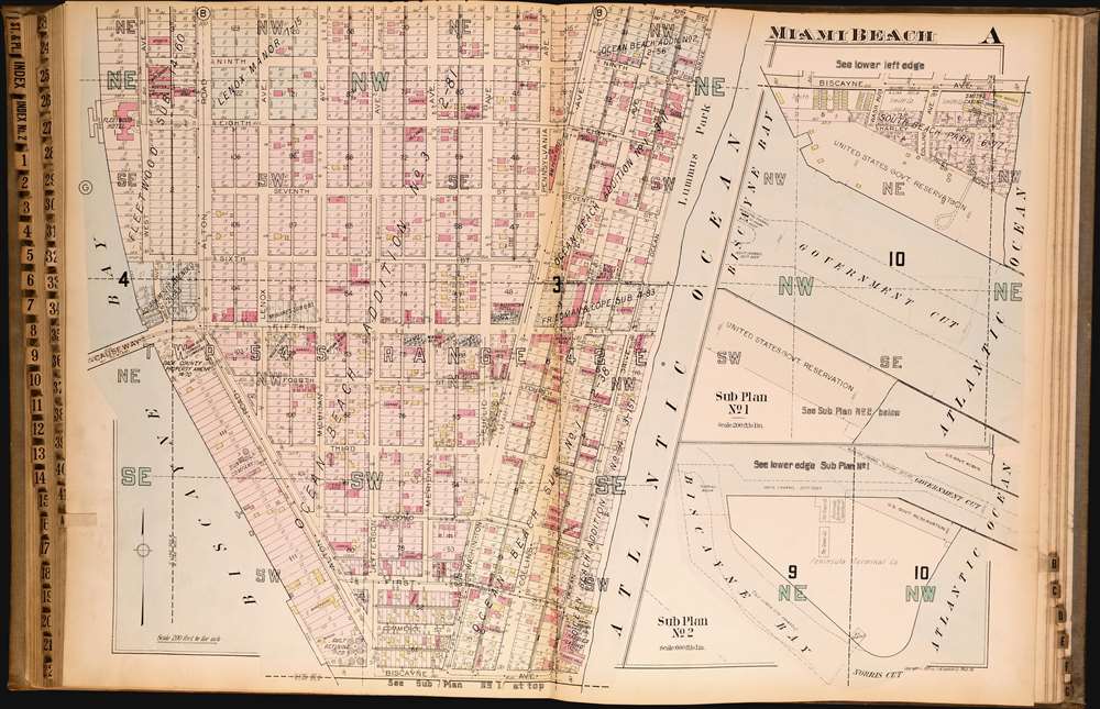
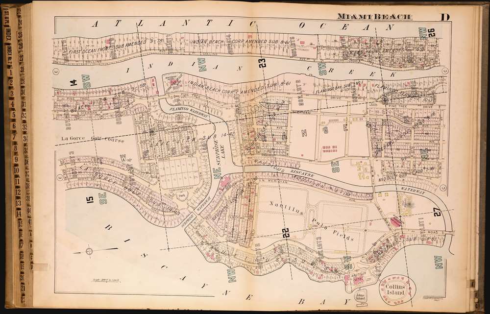
This is the rare and significant 1925 first edition of the G. M. Hopkins atlas of Miami and Miami Beach. The atlas contains the most detailed early maps of Miami Beach. While, in most cases, insurance atlases like this volume are not significant, the opposite is the case of the G. M. Hopkins' Miami Atlas. Short of rare official maps and unobtainable manuscripts, it represents the earliest obtainable maps of Miami Beach, and to a lesser extent, Miami. As a point of reference, although there are earlier development maps, the first official map of Miami Beach was not drawn until 1920 and not committed to print until 1925 - the same year this atlas went to press.
A Closer Look
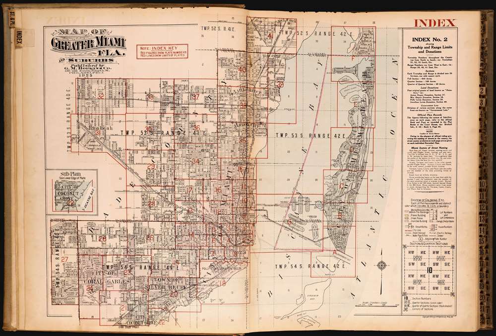
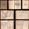
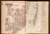
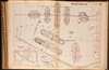
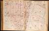
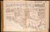
The large and hefty atlas contains 41 maps of Miami as well as 2 index sheets, and the rare Miami Beach supplement of 7 maps. The whole is a fascinating study, illustrating various development sections and even associating them with their owners. Individual lots are numbered, and buildings are noted according to a color-coding system referenced by a key at the beginning of the atlas. While the atlas betrays an early stage of development, with most lots still undeveloped, it also illustrates the grand ambitions on which Miami and Miami Beach were planned.Publication History and Census
This atlas was printed and published by the G. M. Hopkins Company. The present example is the first edition, with subsequent editions following in 1936 and 1957. The first edition features a supplemental section on Miami Beach, which in later editions was separated out as a separate atlas.Cartographer
G. M. Hopkins Company (Griffith M. Hopkins; 1865 - 1940, 1943 - today) was an American civil engineering and surveying firm based in Philadelphia. Founded in Philadelphia in 1865 by brothers Griffith Morgan Hopkins (1834 - 1901) and Henry W. Hopkins (1838 - 1920) as G.M. Hopkins and Company, the firm focused primarily on real estate plat maps of the Eastern seaboard. The firm published 175 plat map atlases depicting cities, counties, and townships in 18 states and the District of Columbia and was among the first to create a cadastral atlas. Henry Hopkins supervised much of the surveying work. G.M. retired in 1900 (and died the following year), which allowed Henry to take control of the business, which he renamed the G.M. Hopkins Company in 1902. Henry retired in 1902 and sold the business to George B. C. Thomas, who had been working for the firm since 1896 as an engraver. The G. M. Hopkins Company was purchased by the Franklin Survey Company of Philadelphia in 1943, which continued publishing atlases under the Hopkins imprint. In 1986, the company was renamed Franklin Maps and is still in operation today. More by this mapmaker...
Condition
Very good. Binding exhibits some wear.