1945 Miami Chamber of Commerce City Plan or Map of Miami Beach, Florida
MiamiBeach-chamberofcommerce-1945-2$400.00


Title
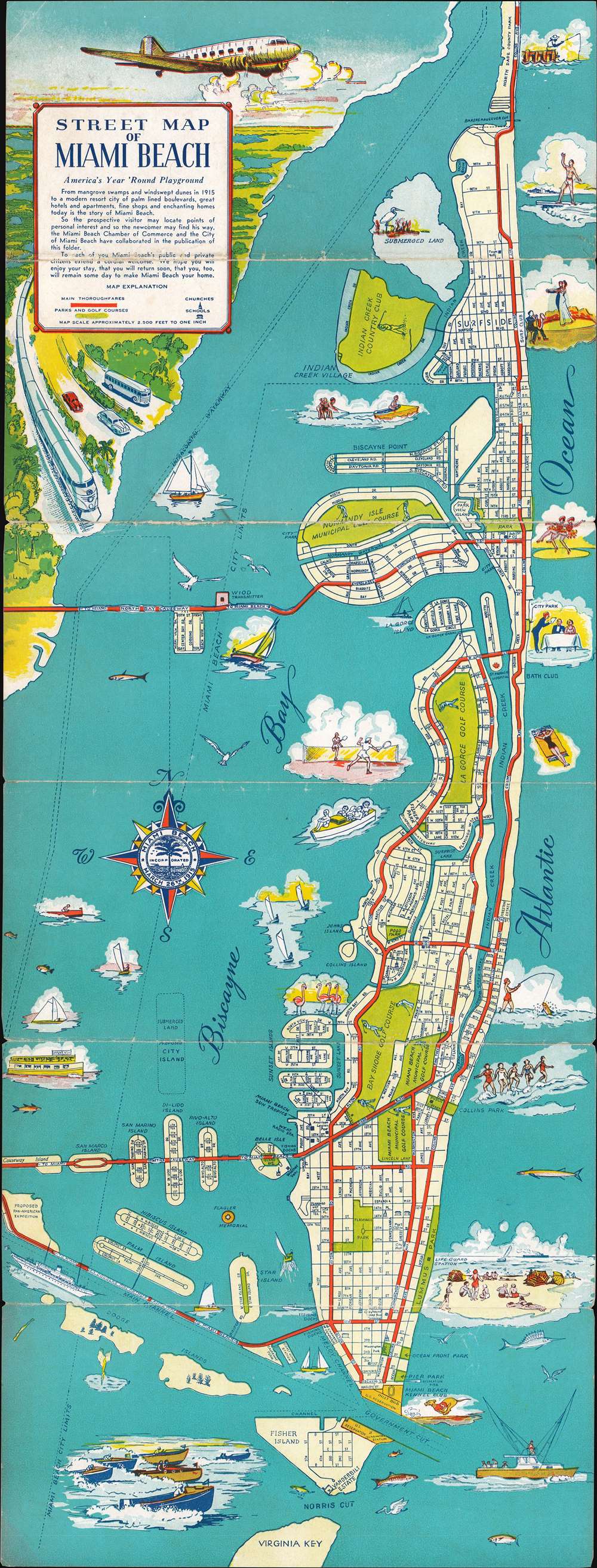
Street Map of Miami Beach.
1945 (undated) 24 x 9 in (60.96 x 22.86 cm) 1 : 30000
1945 (undated) 24 x 9 in (60.96 x 22.86 cm) 1 : 30000
Description
This is a 1945 Miami Beach Chamber of Commerce city map or plan of Miami Beach, Florida, issued to entice post-war tourism. Numerous vignettes of surfers, dancing couples, fishermen, sailing, and sunbathing highlight the leisure life of Miami Beach. All streets are labeled, along with important buildings, including police stations, churches, post offices, and schools. Main thoroughfares, are noted by thick red lines, so 'the visitor and the newcomer may find [their] way.' A wonderful title cartouche in the upper left corner promotes every possible means of arriving in Miami Beach: air, train, car, and bus.
Publication History and Census
This map was published by the Miami Beach Chamber of Commerce in 1945.Condition
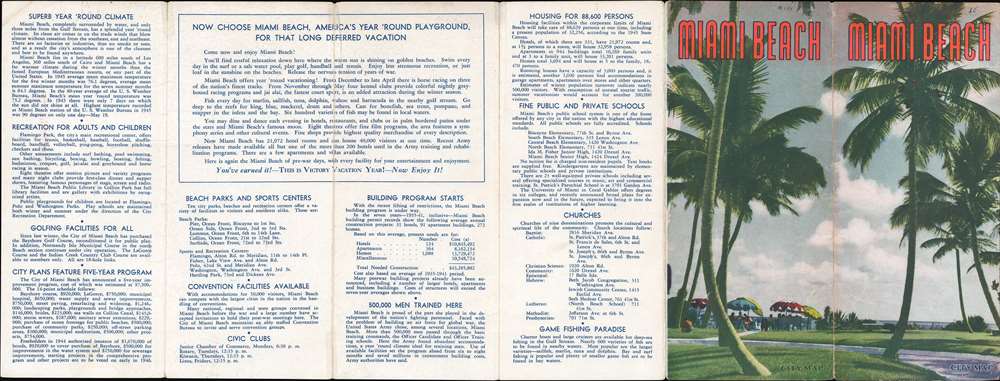
Good. Exhibits wear along original fold lines. Verso repairs to fold separations. Text on verso.