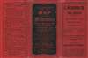
1909 Caspar Map of Milwaukee, Wisconsin
MilwaukeeWI-caspar-1909$650.00

Title
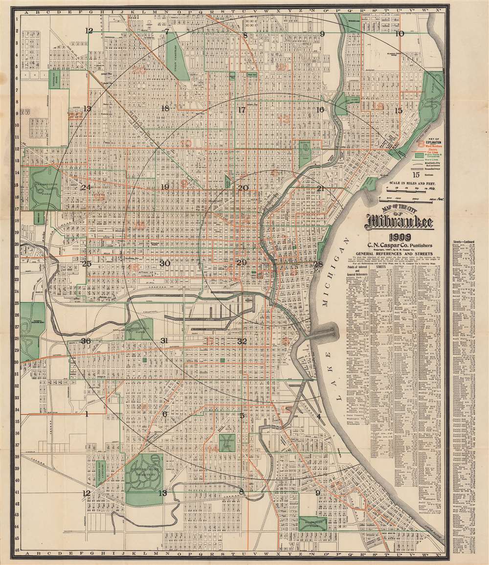
Map of the City of Milwaukee.
1909 (dated) 25.5 x 22 in (64.77 x 55.88 cm) 1 : 18000
1909 (dated) 25.5 x 22 in (64.77 x 55.88 cm) 1 : 18000
Description
A dramatic and scarce 1909 city plan or map of Milwaukee, Wisconsin by the C. N. Caspar Company. The map illustrates the city during a period of rapid growth and industrialization, spurred in large part by the brewing industry, which earned the city the nickname ‘Beer Capital of the World’.
A Closer Look
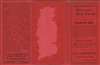
This lithograph map covers from Shorewood in the north to Humboldt Park in the south and from Lake Michigan at east to the National Soldier's Home and Washington Park in the west. Aside from streets, parks, canals, the Milwaukee River, and public buildings, individual city blocks are identified, making this a very useful map from an administrative standpoint. Indexes to the right detail streets and points of interest along with coordinates corresponding to a grid with axes along the margins. The brief legend above the title indicates that the red lines denote electric streetcar lines while green lines show the separation between wards, which are marked with red numbers, while black numbers label the city’s sections. Black dashed lines trace (steam) railroad lines. The city’s largest breweries, Pabst and Schlitz, likely the largest breweries in the world at the time, are noted.Publication History and Census
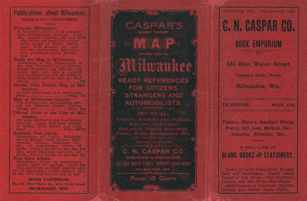
This map was published by the C. N. Caspar Company, a ‘book emporium’ and publisher in Milwaukee. The map is dated 1909 with a copyright of 1907. It bears similarity to another map published by Caspar dated 1909 with a copyright of 1904, previously sold by Geographicus (milwaukee-caspar-1909), as well as a 1916 map published in a Caspar atlas (milwaukee-caspar-1916). The present edition is only cataloged as belonging to the holdings of the Wisconsin Historical Society and has no known history on the market.Cartographer
Charles Nicholas Caspar (October, 1854 - 1928), also known as Carl, was a German-American bookseller, antiquarian bookseller, and publisher based in Milwaukee, Wisconsin. Caspar was born in Germany and emigrated to the United States in 1868, becoming a citizen in 1878. Under the imprint of 'C. N. Caspar Company', he published maps, atlases, postcards, and touristic brochures. Most of his cartographic work is local in nature and focuses on Milwaukee and the immediate vicinity. The firm also did considerable business in German language material. The retail outlet was called C. N. Caspar Company Book Emporium and located at 454 East Water St., Milwaukee. More by this mapmaker...
Condition
Good. Wear along fold lines and slight loss at intersections. Some creases and spots of discoloration towards the top-left.
References
Wisconsin Historical Society D GX9029 M663 1909 C2. OCLC 224044967.