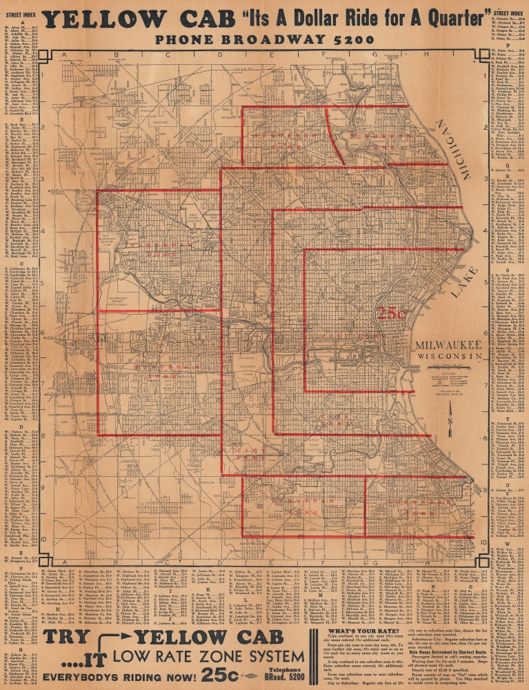
1935 Western Map Co. City Plan or Map of Milwaukee, Wisconsin
MilwaukeeYellowCab-westernmapco-1935$200.00


Title
Milwaukee Wisconsin.
1935 (dated) 24.25 x 18.75 in (61.595 x 47.625 cm) 1 : 253440
1935 (dated) 24.25 x 18.75 in (61.595 x 47.625 cm) 1 : 253440
Description
This is a 1935 Western Map Company city map of Milwaukee, Wisconsin, issued for Milwaukee's Yellow Cab Company to advertise its services and rates. The map appeared at the height of the Great Depression, when cab services took on an essential role in supplementing incomes and a reduction in private transport.
Hail a Cab!
Red overprinting divides Milwaukee and its suburbs into urban and suburban zones. The map's distributor, Milwaukee's Yellow Cab Company, used these zones to calculate fares. Yellow Cab conveniently includes these details along the bottom edge of the sheet. Prices increase for trips to far-reaching suburban zones. Hourly rates are also quoted.A Closer Look
Streets, streetcar lines, and bus routes are illustrated throughout. Airports, cemeteries, parks, the National Soldiers Home, and the Wisconsin State Fairgrounds also appear. An alphabetic street index surrounds the map on three sides.Publication History and Census
This map was created in 1935 by the Western Map Company for the Yellow Cab Company of Milwaukee, Wisconsin, in 1935. We have been unable to locate any cataloged examples and note only one other instance when it has appeared on the private market.Condition
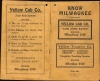
Fair. Verso repairs to fold separations and at fold intersections. Slight loss at a few fold intersections. Small area of infill at a fold intersection. Accompanied by original booklet.