This item has been sold, but you can get on the Waitlist to be notified if another example becomes available.
1991 Redi Aerial Atlas of Monroe County (Florida Keys), Florida
MonroeCountyFlorida-redi-1991$875.00


Title
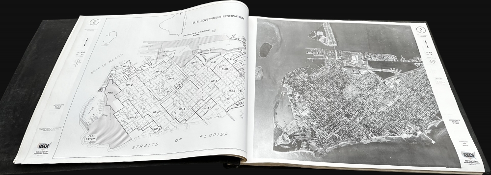
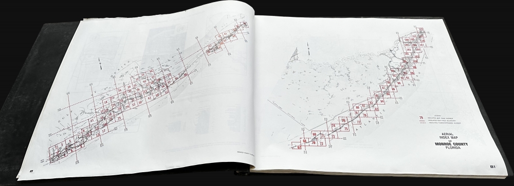
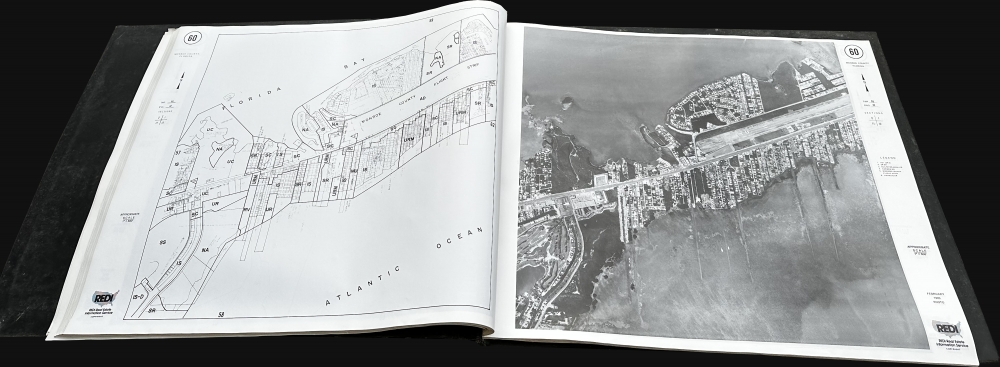
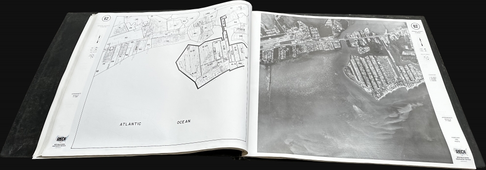
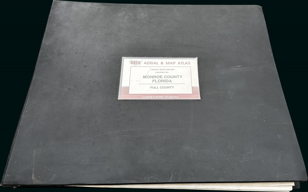
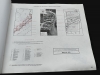
Redi Aerial and Map Atlas Monroe County Florida.
1991 (dated) 21 x 25 in (53.34 x 63.5 cm) 1 : 7200
1991 (dated) 21 x 25 in (53.34 x 63.5 cm) 1 : 7200
Description
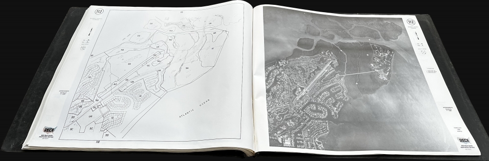
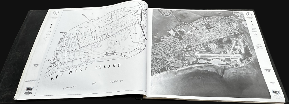
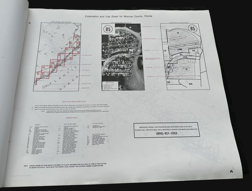
A rare 1991 REDI aerial photo atlas of Monroe County Florida, comprising the Florida Keys. The atlas contains 122 aerial photo-maps with associated key plates on a uniform scale of 1:7200. Coverage thus embraces the Florida Keys from Key Largo to Key West, as well as parts of the Florida mainland in Monroe County. The atlas was compiled for use by real estate developers.
Publication History and Census
This atlas was compiled by REDI, Inc. (active from 1991 - 1997). REDI refers to Real Estate Property Index. REDI produced similar atlases of other Florida Counties, including Palm Beach, Pinellas, Dade, and Hillsborough. They also issued atlases of counties in California, Ohio, Pennsylvania, New Jersey, New York, and Hawaii. All are rare today. Although we see some 500 entries for REDI, Inc. in OCLC, this is the only cataloged atlas of Monroe County.Condition
Very good. Some scuffing to covers.