This item has been sold, but you can get on the Waitlist to be notified if another example becomes available, or purchase a digital scan.
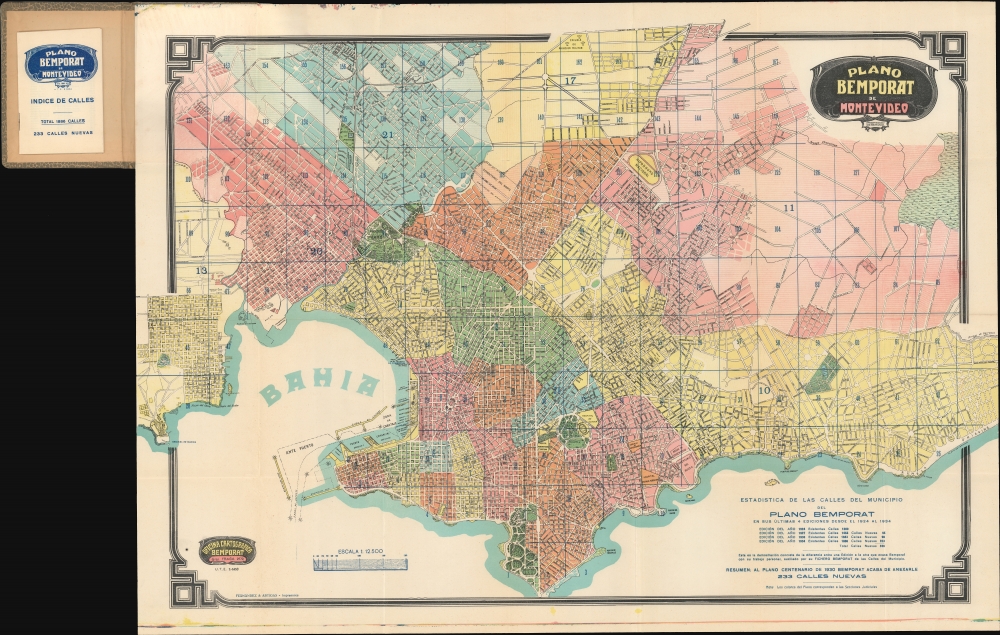
1934 Bemporat City Plan or Map of Montevideo, Uruguay
Montevideo-bemporat-1934
Title
1934 (undated) 22.5 x 32 in (57.15 x 81.28 cm) 1 : 12500
Description
A Closer Look
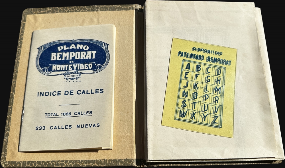
Streets and avenues are labeled throughout, along with hospitals, schools, cemeteries, parks, and beaches are identified. The Fortaleza General Artigas, the Frigorifico Uruguayo, and the Arsenal de Marina also are labeled. The map comes with its original binder and a novel transparent overlay that can be used with the included street index to segment blocks without cluttering the map.Historical Context
In 1934, Montevideo was a thriving city of around 600,000 and capital of most prosperous country in South America. The city boasted a stable democracy, a thriving economy, and a rich cultural and intellectual scene. Under the leadership of President Gabriel Terra, Uruguay experienced economic growth and social progress, with reforms in education, labor laws, and social security. Montevideo was known for its beautiful art deco and beaux arts architecture.Publication History and Census
This map was created and published by the Oficina Cartográfica Bemporat in 1934. No examples of the 1934 edition, we see only one example cataloged in OCLC, at the New York Public Library. Other editions from 1928 and 1939 appear in the database.Cartographer
Aquiles Bemporat (1869 - September 22, 1957) was an Argentine-Italian cartographer and map publisher based in Buenos Aires. He was born in Trieste, Italy and emigrated to Buenos Aires sometime in the late 1870-80s, when he was a child. His firm, Oficina Cartográfica Bemporat, was founded around 1910 and remained active until at least 1960. Bemporat himself is elusive, despite a significant publication corpus. His map c. 1915 map of Buenos Aires won a gold medal at the 1915 San Francisco Exposition Universal. A 1949 CIA analysis of his work suggested that most of the map compilation was done in house by Bemporat himself, then over 70, and printed locally by network of small independent printers. The CIA report ultimately dismissed his maps as 'insufficiently accurate for intelligence use.' Nonetheless, Bemporat's work was highly decorative and enjoyed a strong local and international following, particularly in Latin America and Europe. He was widely admired for his longevity and continued to publish until his death at age 88. More by this mapmaker...


