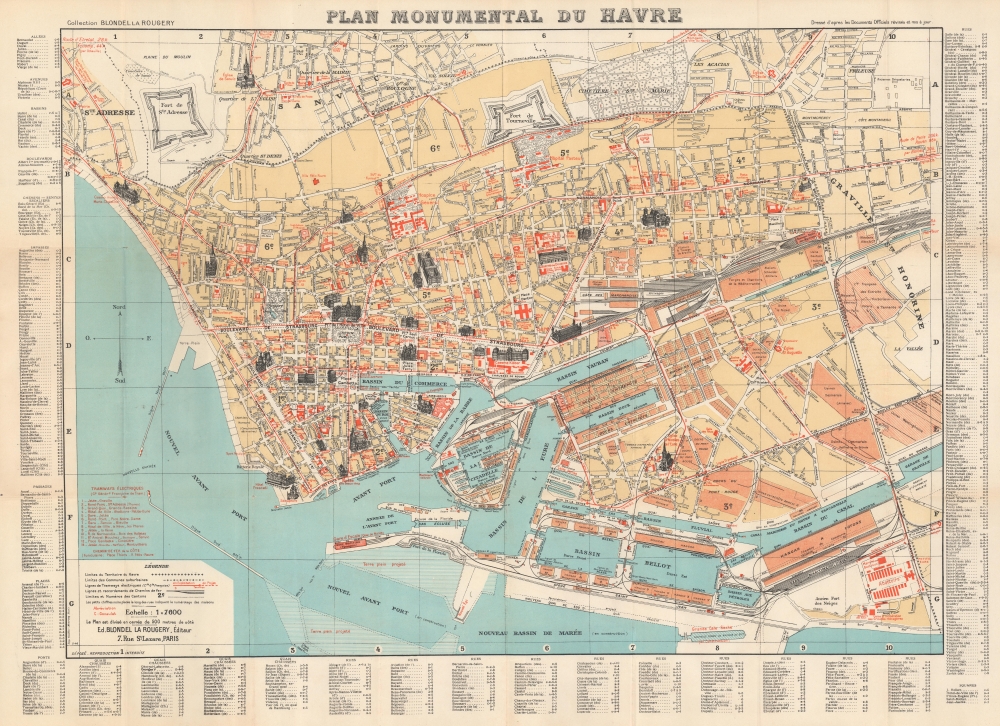
1948 Blondel La Rougery Pictorial Map of Le Havre, France
MonumentalHavre-blondellarougery-1948
Title
1948 (dated) 21.5 x 29.75 in (54.61 x 75.565 cm) 1 : 7600
Description
A Closer Look
The map depicts central Le Havre with its port at the bottom. The city’s churches, schools, theatres, city hall, railroad station, and military barracks are highlighted with profile illustrations, and orange text identifies each one. Orange text and color highlight government buildings, factories, schools, shops, hospitals, and numerous other locations throughout the city. Le Havre’s 13 tram lines are highlighted as well. An extensive index of Le Havre's streets, docks, squares, bridges, and other locations frame the map on 3 sides.Rebuilding a City
Before World War II, Le Havre was one of the biggest ports in Europe. During the war, Le Havre endured 132 Allied bombing raids that killed 5,000 people, injured as many as 80,000, and destroyed 12,500 buildings. The Hotel de Ville (City Hall), the Bourse (Stock Exchange), and the museum (all of which are highlighted here) were destroyed by the bombing campaign, along with the churches of Notre Dame and St. Michel. Thus, as this map was published in May 1948, it is more of a summary of what was lost during the war than a practical guide for getting around the city.Publication History and Census
This map was created by Éditions Blondel la Rougery and published by the Imprimerie Gaillac-Monrocq in Paris in 1948. Blondel la Rougery began publishing editions of this map in 1890, with subsequent editions appearing in at least 1918 and 1924.Cartographer
Blondel la Rougery was a French publishing house founded in Paris around 1902 by the publisher and aerophile Édouard Blondel la Rougery (July 9, 1877 - July 20, 1955). The company specialized in maps and books, particularly those related to aviation and maritime themes. Over time, Blondel la Rougery became well-known for its detailed maps, which were used extensively during both World Wars. In 1934, the firm inherited the aviation and cartographic copyrights of Georges Besançon (1866 - 1934), erstwhile publisher of L'Aérophile. In 1955, his son Max Blondel la Rougery took over the business and continued to manage it until 1976. The company continued to operate until the early 21st century, with its focus remaining largely on map production. The publisher’s works are notable for their precision and artistic quality, making them highly regarded in both historical and cartographic circles. More by this mapmaker...

