This item has been sold, but you can get on the Waitlist to be notified if another example becomes available, or purchase a digital scan.
1938 New England Cartographers Map of Nantucket Island, Massachusetts
NantucketIsland-newenglandcartos-1938$225.00


Title
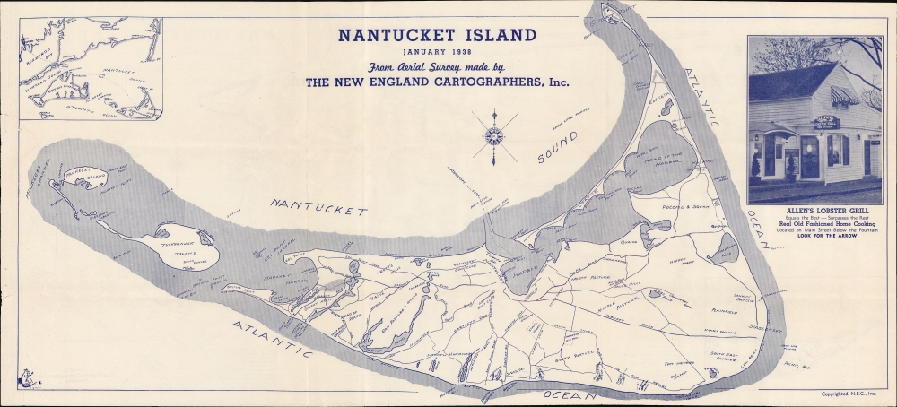
Nantucket Island. January 1938.
1938 (dated) 12 x 26 in (30.48 x 66.04 cm) 1 : 52668
1938 (dated) 12 x 26 in (30.48 x 66.04 cm) 1 : 52668
Description
Promoting tourism on the brink of war, this 1938 New England Cartographic map of Nantucket presents prospective visitors with all the information necessary to enjoy their vacation.
A Closer Look
Nantucket appears in detail, with the Town of Nantucket, the Nantucket Golf Club, Altar Rock, the fairgrounds, the State Forest, and the airport labeled. Major roads are identified by name, as are Coast Guard stations, the Western Union office, and the Yacht Club. An inset in the upper left situates Nantucket with respect to Martha's Vineyard and Cape Cod, and marks the steamboat route to New Bedford. An advertisement for Allen's Lobster Grill occupies the top right.Verso Content: Map of Nantucket and Vicinity
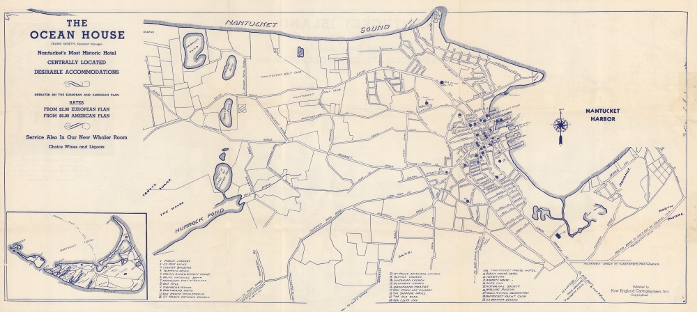
A map of the town of Nantucket and its immediate vicinity is printed on the verso with 29 locations numerically identified. Among these are the public library, several churches, two banks, the whaling museum, the Nantucket Yacht Club, and the U.S. Weather Bureau.Publication History and Census
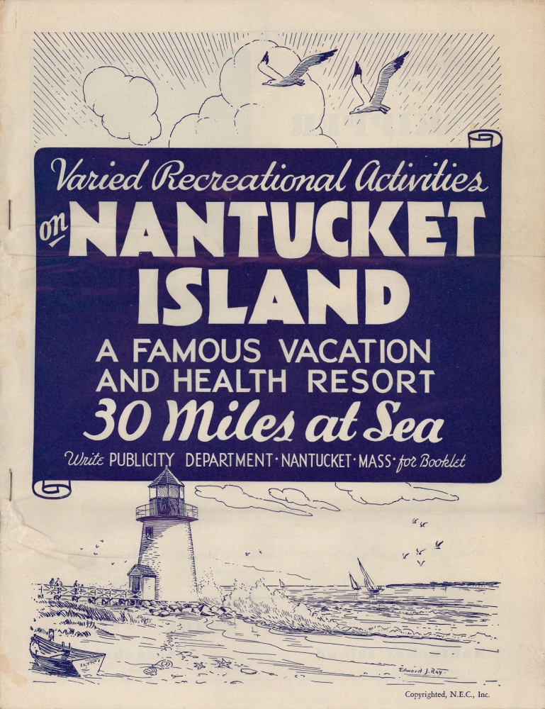
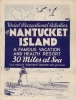
This map was created by New England Cartographers, Inc. and published in 1938 in the booklet 'Varied Recreational Activities on Nantucket Island: A Famous Vacation and Health Resort 30 Miles at Sea'. This is the only known cataloged example.Cartographer
New England Cartographers, Inc. (1936 - 1940) was incorporated in Waterbury, Connecticut, in November 1936 by Howard V. Phillips, J. Warren Upson, and Richard Bronson. In July 1940 the firm's name changed to the Anderson and Phillips Company and was operated by Frank Anderson and Francis T. Phillips. More by this mapmaker...
Condition
Very good. Light wear along original fold lines. Closed margin tears professionally repaired on verso, one barely entering past right border.