This item has been sold, but you can get on the Waitlist to be notified if another example becomes available.
1974 Dolph Map Company City Plan or Map of Naples, Florida
Naples-dolph-1974$100.00


Title
Map of Naples Florida.
1974 (undated) 30.75 x 23.75 in (78.105 x 60.325 cm) 1 : 31680
1974 (undated) 30.75 x 23.75 in (78.105 x 60.325 cm) 1 : 31680
Description
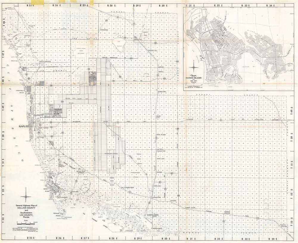
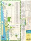
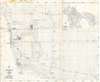
This is a c. 1974 Dolph Map Company city plan or map of Naples, Florida. Depicting from Del-Nor State Park to Keewaydin Island and the Myrtle Cove Acres subdivision, bright green highlights golf courses, country clubs, city and state parks, and the Naples airport. Streets are illustrated and labeled throughout, along with shopping centers, hospitals, and the county courthouse. Fifteen schools are marked by icons and numerically identified corresponding with an index along the left border. Bright blue circles bearing numbers identify subdivisions. These circles correspond with a second index situated along the left border. A street index occupies the space inside the right border. Numerous insets of subdivisions occupy the space outside the right border and among these are Port Royal, Vanderbilt Beach, Coquina Sands, and Park Shore. A highway map of Collier County occupies most of the verso, with an inset map of Marco Island and Big Key situated in the upper right.
Publication History and Census
This map was created and published by the Dolph Map Company c. 1974 for the Naples Board of Realtors. We note nine examples cataloged in OCLC which are part of the collections at the New York Public Library, the Library of Congress, the University of Michigan, Ball State University, the University of South Carolina, the Jacksonville Public Library, Florida State University, the University of California Berkeley, and the University of California Santa Barbara.Cartographer
Frank B. Dolph (October 3, 1897 - November 26, 1975) was an American businessman and map publisher. Born in Great Neck, Long Island, New York, Dolph served as a Navy storekeeper during World War I. He began selling maps in 1919 after returning from England, likely for the George F. Cram Company, where he ultimately became an administrative aide. He also worked for the Rand McNally Company for some time before he founded his own map publishing firm, Dolph and Stewart, with his friend, sometime in the 1920s. Dolph and Stewart made maps throughout the 1920s and 1930s until they sold the firm in 1945 when Dolph decided to return to Florida. Dolph opened a new map publishing business, the Frank B. Dolph Map Co. in Ft. Lauderdale and published city plans of cities throughout the United States. Many of his maps were distributed by Chambers of Commerce or sold at newsstands. Real estate developers greatly appreciated his maps, those published by both the Dolph and Stewart Company and the Frank B. Dolph Company. Dolph retired as president of his firm around 1965, when he handed the business off to his son, Frank B. Dolph, Jr. Dolph worked with cartographer Theodore M. Politano for decades while operating the Frank B. Dolph Map Company. More by this mapmaker...
Condition
Very good. Exhibits light wear and toning along original fold lines. Areas of infill along margin. Highway map of Collier County and map of Marco Island on verso.
References
OCLC 5480064.