This item has been sold, but you can get on the Waitlist to be notified if another example becomes available, or purchase a digital scan.
1890 Dosseray Wall Map of North America and South America
NorthSouthAmerica-dosseray-1890$475.00


Title
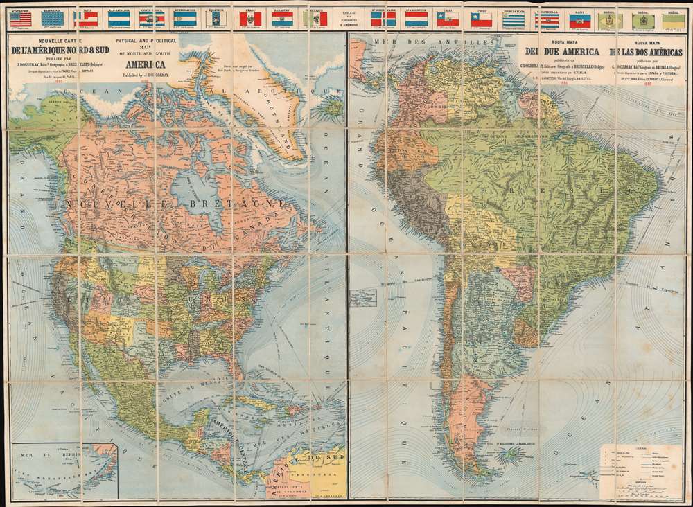
Nouvelle Carte de l'Amérique Nord et Sud. Physical and Political Map of North and South America. Nuova Mapa del Due America. Nueva Mapa de las dos Américas.
1890 (dated) 31 x 42.25 in (78.74 x 107.315 cm) 1 : 12600000
1890 (dated) 31 x 42.25 in (78.74 x 107.315 cm) 1 : 12600000
Description
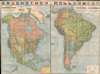
This is an attractive 1890 Jean Dosseray map of North and South America. The map is divided into sections dedicated to North America and South America. Although most of the content is in French, additional titling in English, Italian, and Spanish underscore the author's intended pan-European audience. A row of flags across the top add a vexillological component. Bold lines trace continental railroad networks throughout both maps. In addition, significant attention is given to First Peoples nations, which are labeled throughout. An inset in the lower left focuses on the Aleutian Islands and the Bering Sea.
Publication History and Census
This map was created and published by Jean Dosseray and lithographed by J.E. Goossens and Company. This is the only known cataloged example.Cartographer
Jean Dosseray (1868 - 1904) was a Belgian publisher and editor active in Brussels during the late 19th century. He published science-based maps for schools and tourists. More by this mapmaker...
Condition
Very good. Dissected and mounted on linen in thirty-six (36) panels. Accompanied by original binder.