This item has been sold, but you can get on the Waitlist to be notified if another example becomes available, or purchase a digital scan.
1943 Richard Edes Harrison Map of the Pacific From Three Perspectives
PacificOcean-harrison-1943-2$187.50

Title
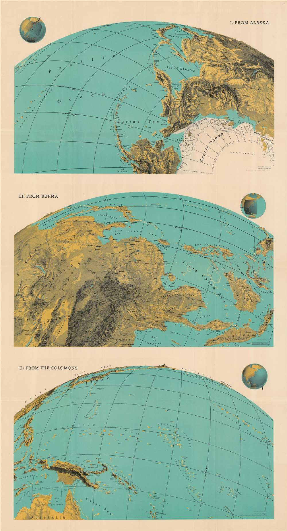
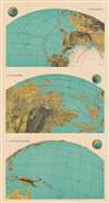
I: From Alaska. III: From Burma. II: From the Solomons.
1943 (dated) 46.5 x 25 in (118.11 x 63.5 cm)
1943 (dated) 46.5 x 25 in (118.11 x 63.5 cm)
Description
This 1943 Richard Edes Harrison map of the Pacific exemplifies his innovative spherical projection, which he employed to good effect in his maps produced leading up to and during the Second World War. Many of Harrison's wartime readers responded enthusiastically to his approach - although isolationist critics complained that his decision to abandon more familiar projections was a polemical choice intended to emphasize the proximity of various theatres of war to American interests - particularly in the maps he produced prior to America's entry into the war. This was less the case with this triple map, printed well into the conflict and focusing on the likely approaches to Japan that might be exploited by the United States.
The Maps Themselves
Harrison divides the Pacific Ocean into three different views: from Alaska, from Burma, and from the Solomon Islands. Astute readers in 1943 would have recognized all three as critical battlegrounds for the containment and defeat of Imperial Japan. By employing his spherical projection, Harrison conveys the key island chains pointing at Japan, rather than the sheer vastness of the Pacific. Apart from labeling key locations, Harrison lets the map's visceral depiction of land masses speak for itself, rather than cluttering the images with descriptive text.Publication History and Census
This map was created in 1943 and published by FORTUNE Magazine. One example is cataloged in OCLC and is part of the collection at Pennsylvania State University.Cartographer
Richard Edes Harrison (1902 - January 5, 1994) was an American cartographer and cartoonist active in the middle part of the 20th century. Harrison is credited with redefining cartography, especially journalistic cartography, by employing spherical perspective, bold shading, and graphic design to both make maps more publicly accessible and give them an artistic dimension. Harrison was born in Baltimore and studied design at Yale, graduating in 1923, before relocating to New York City at the height of the Great Depression. He made ends meet through industrial design work, creating everything from bottles to ashtrays. His first foray into the cartographic world was a fill-in job at Fortune magazine. The editors at Fortune must have admired his work for it launched a long-standing collaboration. His work, doubtless inspired by the age of air travel, became exceptionally popular during World War II, where his unique approach and political charged subject matter illustrated the seats of war with exceptional poignancy and clarity. After the war, Harrison continued to produce maps from his base in New York City. In his spare time he was an avid ornithologist and was commonly seen in Central Park in search of rare bird sightings. More by this mapmaker...
Condition
Very good. Exhibits slight wear at junctures of folds.
References
OCLC 45886353.