This item has been sold, but you can get on the Waitlist to be notified if another example becomes available.
1959 Philip and Brown PanAm Airlines 3-Sheet Wall Map of the World
PanAmericanWallMap-philipbrown-1959$1,500.00


Title
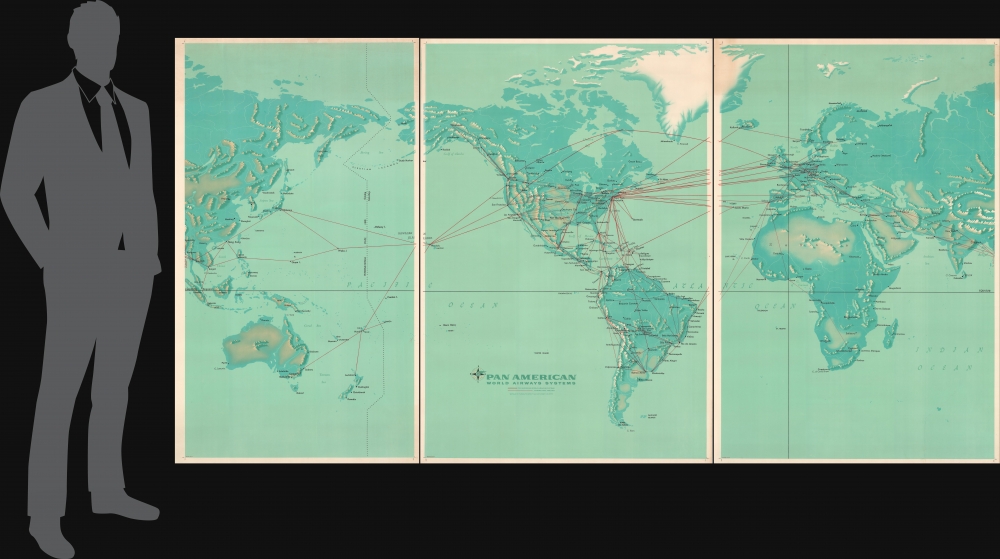
Pan American World Airways Systems.
1959 (dated) 56.25 x 108.75 in (142.875 x 276.225 cm)
1959 (dated) 56.25 x 108.75 in (142.875 x 276.225 cm)
Description
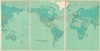
This massive 3-sheet map of the world is John Philip and Paul John Brown's 1959 illustration of the Pan American Airways System (PanAm). Highlighting Pan American's extensive network at the dawn of the jet age, this piece celebrates the airline's role in making the world a smaller place in the wake of World War II (1939 - 1945). Given its massive size, this poster was likely intended for airports and KLM offices.
A Closer Look
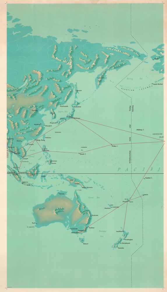
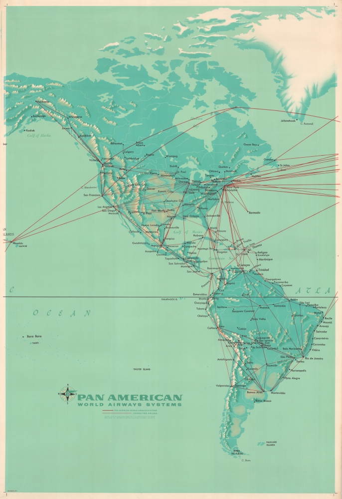
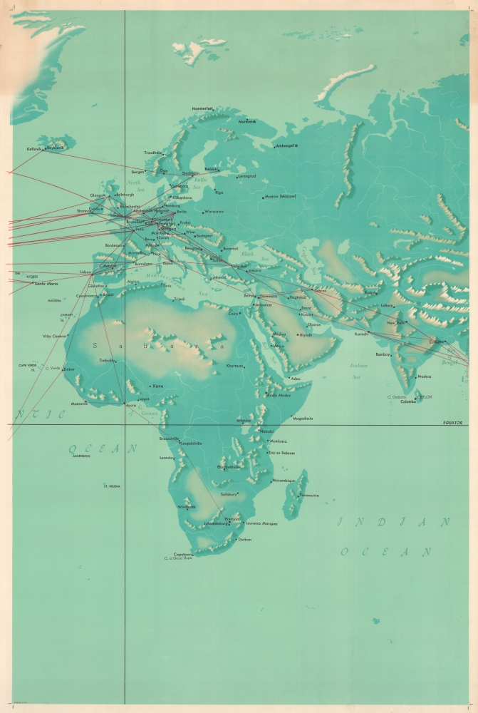
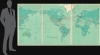
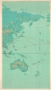
The map presents the world on a Mercator Projection centered on North America. Red lines trace PanAm's worldwide network from its central hub in New York, connecting 6 continents. Major cities are noted, especially those serviced, and some topography is defined if ignored y the air-routes, but there are notably no national borders, underscoring that 'it's a small world after all'.Publication History and Census
First published in 1956 and updated in May 1959, this map features cartography by John Philip and artwork by Paul John Brown. Given its impressive size, this map was likely intended for use in PanAm offices and airports. This is the only known surviving example.Condition
Good. Three sheets each mounted on linen. Closed tear extending 13 inches into printed area in Indian Ocean from bottom margin on central sheet. Closed tear extending 15 inches through Arctic Ocean and Siberia from top margin on right sheet. Each sheet measures 59 x 40 inches including margins. Left sheet has much wider left margin than the rest of the sheets.