This item has been sold, but you can get on the Waitlist to be notified if another example becomes available, or purchase a digital scan.
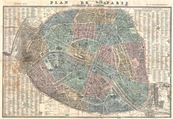
1889 Lallemand Pocket Map of Paris France
Paris-bernardinbechet-1889
Title
1889 (dated) 24 x 35 in (60.96 x 88.9 cm)
Description
CartographerS
Armand Joseph Lallemand (c. 1810 - 1871) was an engraver and map publisher based in Paris during the mid-19th century. Most of Lallemand's work focused on landscapes and building vies, though he did take part in a few cartographic ventures, including the production of an atlas with Alexandre Emile Lapie and several tourist pocket maps of Paris. More by this mapmaker...
Depot de Guerre (1688 - 1887) was a branch of the French military devoted to creating, collecting, and publishing military memoirs, plans, and maps. The Depot was founded in 1688 by Francois Michel le Tellier, the Marquis de Louvois. Louvois held the post of Secretary of State for War under Louis XIV and his best known for composing the first letter regarding the mysterious "Man in the Iron Mask". During the French Revolution and the Napoleonic Wars the Depot de Guerre expanded its operations to include any and all topographical research in France. In 1887 the Depot de Guerre was disbanded and its duties split between the Institut Geographique National (IGN) and the Service Historique de L'Armee (SHA). Learn More...

