This item has been sold, but you can get on the Waitlist to be notified if another example becomes available, or purchase a digital scan.
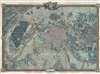
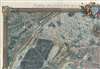
1795 Roussel City Plan or Map of Paris, France and Environs
Paris-roussel-1795$4,750.00

Title
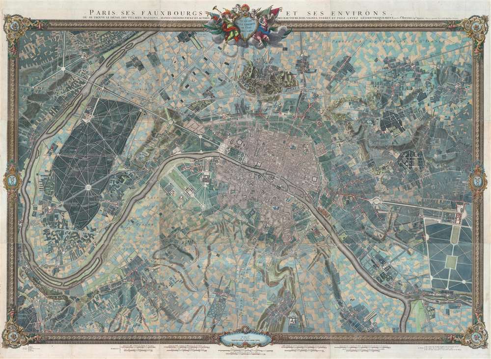
Paris, ses Fauxbourgs, et ses Environs.
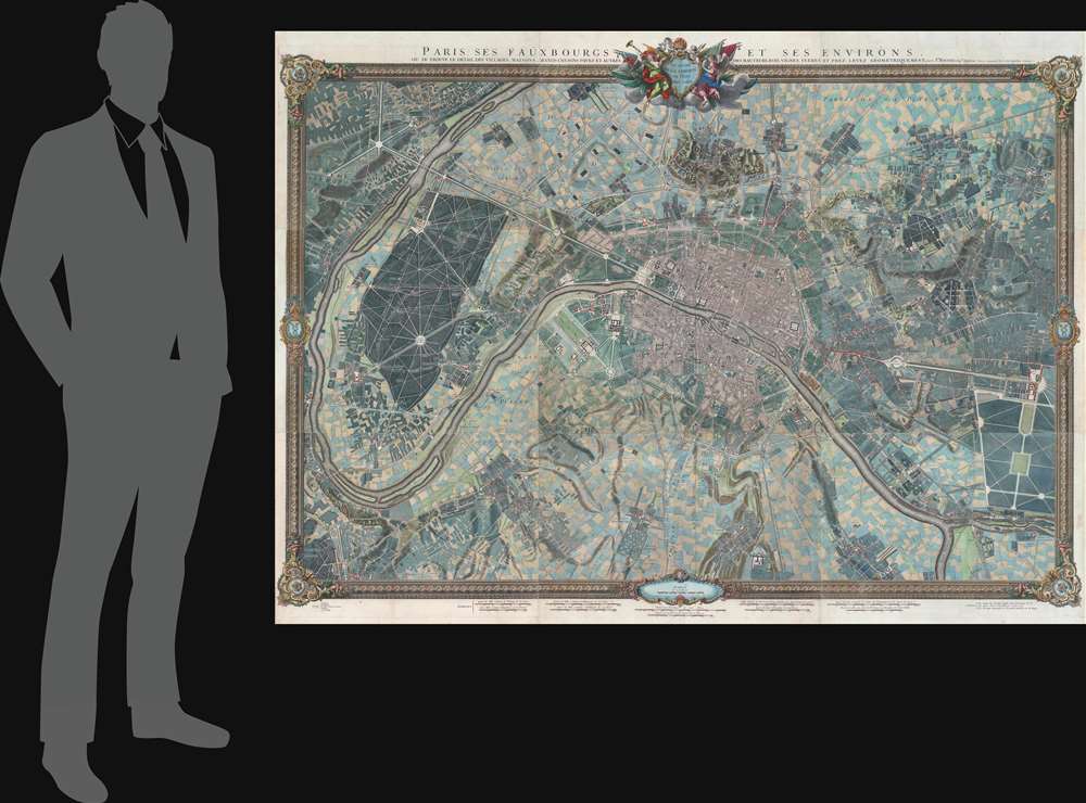
1795 (dated) 52 x 71.25 in (132.08 x 180.975 cm) 1 : 9800
1795 (dated) 52 x 71.25 in (132.08 x 180.975 cm) 1 : 9800
Description
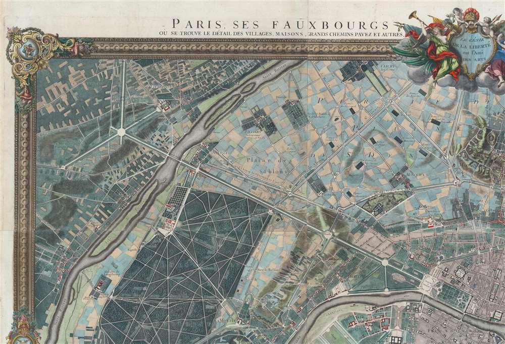
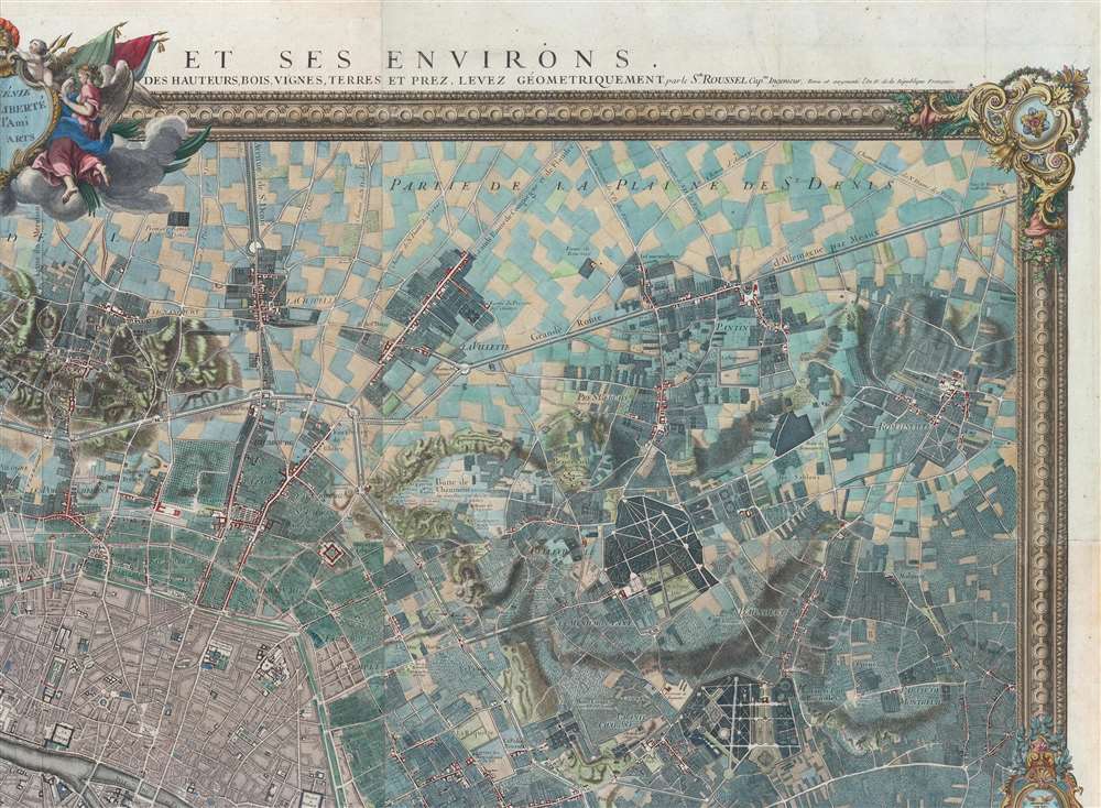
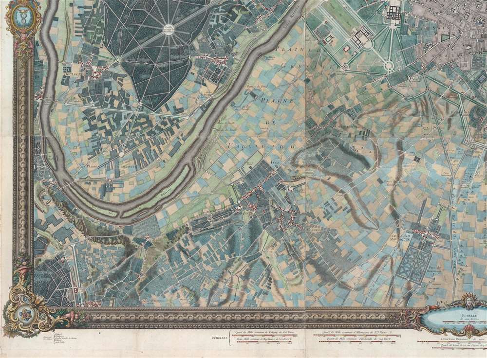
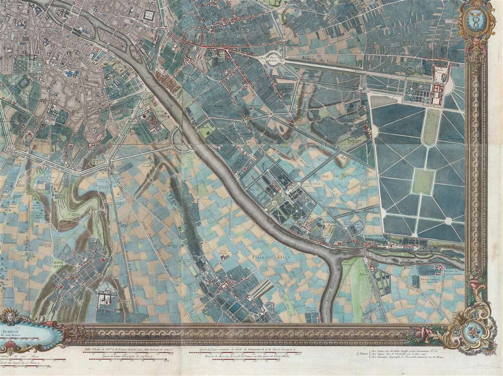
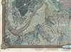
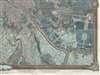
This is a striking 1795 - 1796 Roussel wall-sized city plan or map of Paris, France, and its environs - one of the few large-scale maps of Paris issued during the French Revolution (1789 - 1799). Within Paris, buildings, squares, and parks are illustrated, with the Palais des Tuileries, the Louvre, the Hotel Royal des Invalides, and Notre Dame, among many other famous buildings recognizable. Churches are highlighted in blue, while Paris's many gardens, including the Champs-Elysées, the Champs de Mars, the Jardin des Tuileries, and the Jardin du Luxembourg, appear in green. Some of the most important buildings are illustrated pictorially, including the Abbaye St. Victor, the menagerie in today's Jardin des Plantes, and the factories across the Seine from the Jardin des Plantes. Outside Paris proper, spectacular illustrations of Montmarte and the Butte Chaumont appear. Paris's suburbs are illustrated and labeled as well, many of which are modern-day neighborhoods.
Published During the First French Republic
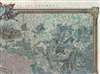
Above the top border, to the right of the title, Revu et Augmenté l'An IV de la République Française, appears, meaning that this piece was published while the French Republican calendar was still being used. L'an IV, when translated into the Gregorian calendar, began September 23, 1795, and ended on September 21, 1796. The French Republican Calendar, also known as the French Revolutionary Calendar, was used for twelve years by the French government, from late 1793 until 1805. It reappeared for eighteen days during the 1871 Paris Commune. The goal of the Republican Calendar was to excize all religious and royalist influence. That same instinct is reflected on this map, with 'old regime' iconography replaced by decorative motifs. The royal dedication was similarly 'replaced' by the phrase 'Le genie de la Liberté est l'Ami des Arts', which translates to 'The genius of Liberty is the Friend of the Arts'.Publication History and Census
This map was created by Roussel and first published in 1730. Subsequent editions appeared in 1731, 1756 or 1757, 1765, and the present edition in 1795-96 (IV). Another edition appeared sometime between 1815 and 1840 with the L'An IV removed, and the final edition was published in 1844. We note six examples of the 'An IV' edition cataloged in OCLC: University of Pennsylvania, Brown University, the Library of Congress, Utrecht University, the Bibliotheek Universiteit van Amsterdam, and the Institut National d'Histoire de l'Art in Paris.Cartographer
Roussel (16xx - August 30, 1733) was a French engineer whose first name has been lost to history and about whom very little is known. He was named chief engineer in 1719 and a knight of the Order of Saint-Louis in 1718. He was part of the team of engineers sent to the French borders by Louis XIV beginning in 1691. Over the course of his career, he made many city maps, including Turin, Asti, Toulon, and Briançon, along with regional maps of the French border regions. Among these regional maps is a famous map of the Pyrenees border region. When he was named chief of engineers, he was the first geographic engineer to be named to the position since the corps was founded in 1713. More by this mapmaker...
Condition
Very good. Mounted on linen.
References
Boutier, J., Les Plan de Paris des origines (1493) à la fin du XVIIIe siècle, #206E. OCLC 63550802; 980448901; 71595650; 496750757.