1913 Rand McNally Pocket Map of the Philippines
PhilippineIslands-randmcnally-1913$900.00


Title
The Rand-McNally New Library Atlas Map of Philippine Islands.
1913 (dated) 27.75 x 20 in (70.485 x 50.8 cm) 1 : 2280960
1913 (dated) 27.75 x 20 in (70.485 x 50.8 cm) 1 : 2280960
Description
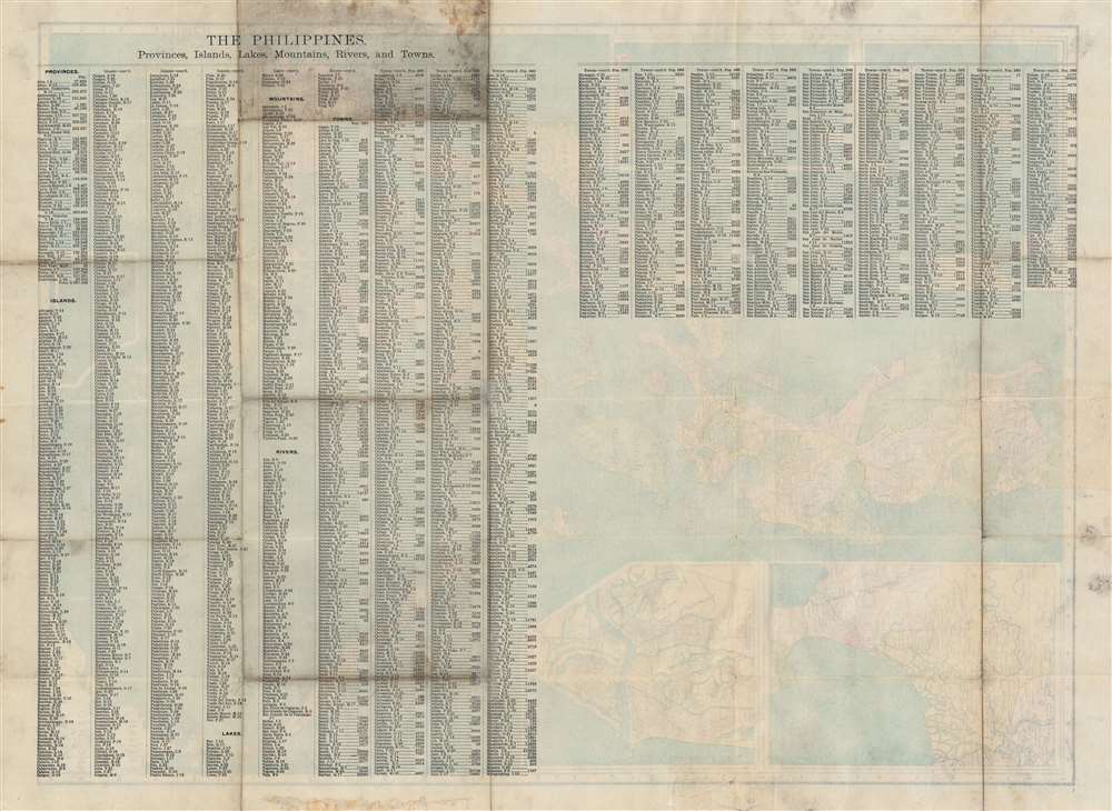
An uncommon 1913 Rand McNally folding pocket map of the Philippines. The map covers all of the Philippine Islands during the American period (1899 - 1946), reaching from Luzon to Mindanao and from Palawan to Samar. Insets illustrate Manila Bay, Manila, the China Sea situation, the Sulu Archipelago, and the Batan Islands north of Luzon. Maritime routes to and from major ports (Hong Kong, Singapore, Guam, etc.), are noted.
Publication History and Census
This map was first issued in 1910 for Rand, McNally and Co.'s Indexed atlas of the World. At the same time examples were issued separately, as here, in 1912 and 1913. There are significant differences between editions, in terms of coloration, content, and the insets. For a piece issued in multiple editions from a major 20th century publisher, this map is shockingly rare. The OCLC notes but two examples, at Princeton and in the Bibliothèque nationale de France.Cartographer
Rand, McNally and Co. (fl. 1856 - present) is an American publisher of maps, atlases and globes. The company was founded in 1856 when William H. Rand, a native of Quincy, Massachusetts, opened a print shop in Chicago. Rand hired the recent Irish immigrant Andrew McNally to assist in the shop giving him a wage of 9 USD per week. The duo landed several important contracts, including the Tribune's (later renamed the Chicago Tribune) printing operation. In 1872, Rand McNally produced its first map, a railroad guide, using a new cost effective printing technique known as wax process engraving. As Chicago developed as a railway hub, the Rand firm, now incorporated as Rand McNally, began producing a wide array of railroad maps and guides. Over time, the firm expanded into atlases, globes, educational material, and general literature. By embracing the wax engraving process, Rand McNally was able to dominate the map and atlas market, pushing more traditional American lithographic publishers like Colton, Johnson, and Mitchell out of business. Eventually Rand McNally opened an annex office in New York City headed by Caleb S. Hammond, whose name is today synonymous with maps and atlases, and who later started his own map company, C. S. Hammond & Co. Both firms remain in business. More by this mapmaker...
Condition
Very good. Some wear and verso reinforcement on old fold lines and intersections. Accompanied by original binder.
References
OCLC 122942601, 494870025.