This item has been sold, but you can get on the Waitlist to be notified if another example becomes available, or purchase a digital scan.
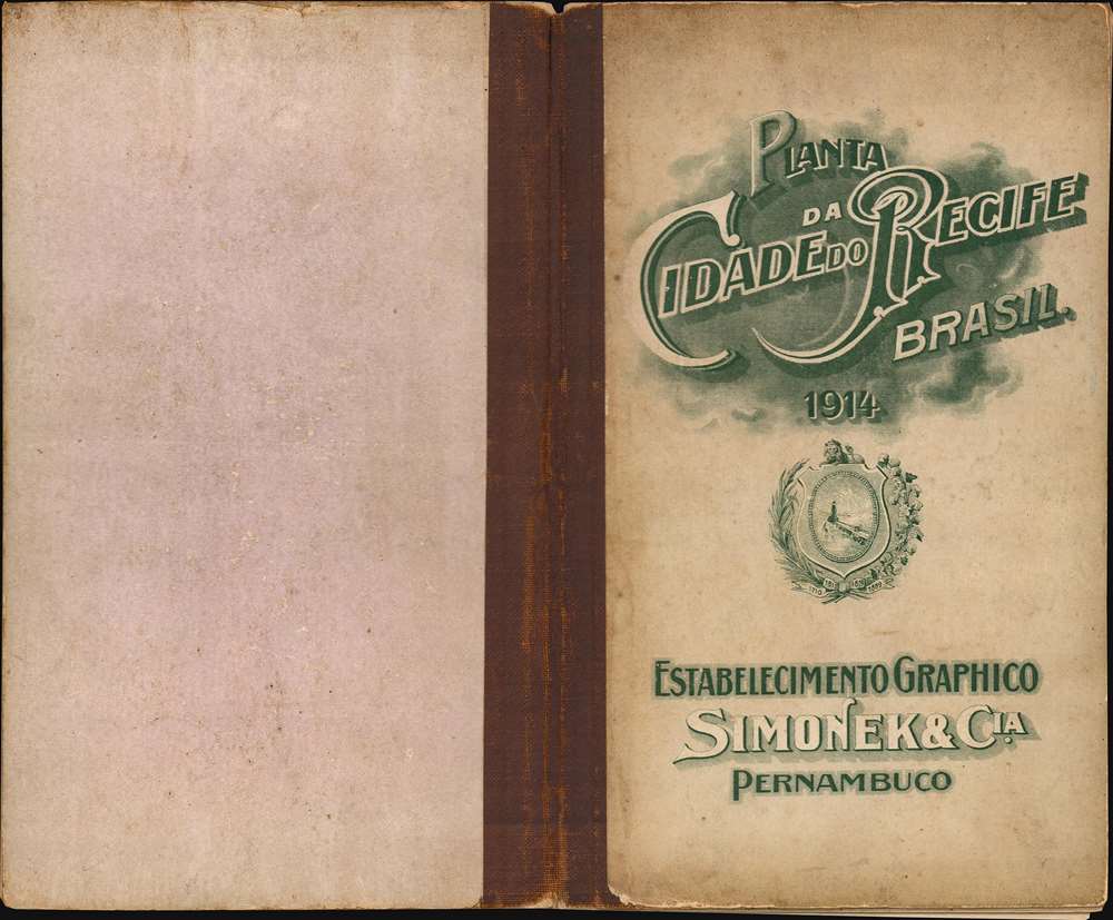
1914 Simonek and Company City Plan or Map of Recife, Brazil
PiantaRecife-simonek-1914$375.00

Title
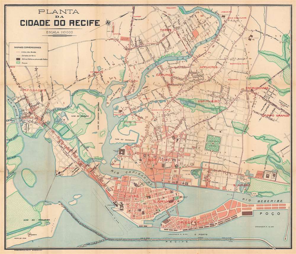
Planta da Cidade do Recife.
1914 (undated) 22.5 x 26.25 in (57.15 x 66.675 cm) 1 : 10000
1914 (undated) 22.5 x 26.25 in (57.15 x 66.675 cm) 1 : 10000
Description
This is a 1914 Simonek e Cia city plan or map of Recife, Brazil. Oriented toward the west, bold red block lettering identifies many of the city's neighborhoods, including Recife, Boa Vista, and Santo Antonio. Locations within these neighborhoods are numerically identified by small red numbers and correspond with an index in the accompanying booklet. The small blue numbers mark government buildings. Islands are labeled throughout the region, along with major streets and a handful of buildings. Among these are the Portuguese Hospital, the powerplant, the central train station, and the Forte das Cinco Pontas, which houses the Recife City Museum today.
Publication History and Census
This map was created and published by the Estabelecimento Graphico Simonek e Cia in Recife in 1914. We note a single cataloged example, which is part of the collection at Princeton University.Cartographer
Simonek e Cia (fl. c. 1900 - 1914) was a Brazilian printing and publishing firm that worked in lithography, chromolithography, and typography. They printed and published maps, plans, music, high relief prints, circulars, drafts, invoices, circulars, bills, memorandums, business cards, and all manner of other printed material. More by this mapmaker...
Condition
Very good. Light wear along original fold lines. Small areas of infill at fold intersections. Reinforced where once attached to original booklet.
References
Princeton University Library HMC01.6172.