This item has been sold, but you can get on the Waitlist to be notified if another example becomes available.
1971 Vero Pictorial Map of Jerusalem
PictorialJerusalem-vero-1971$112.50

Title
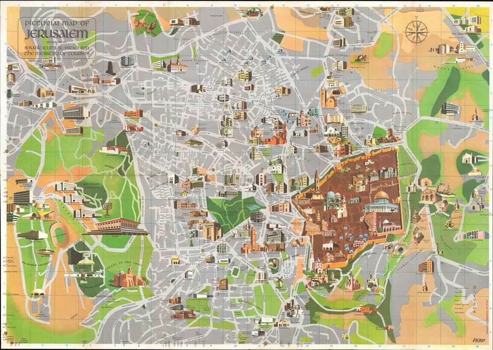
Pictorial Map of Jerusalem.
1971 (dated) 17 x 23.75 in (43.18 x 60.325 cm)
1971 (dated) 17 x 23.75 in (43.18 x 60.325 cm)
Description
This is a 1971 Radu Vero pictorial map of Jerusalem. Centered on the Old City, illustrations of Jerusalem's many sites dominate the piece. Shaded brown, the Old City stands in stark contrast to the rest of the city, which appears in gray with green highlighting the city's gardens and parks. The Dome of the Rock, the Western Wall, Al-Aqsa Mosque, 'David's Tower', and the Church of the Holy Sepulcher are among the notable sites named. Numerous additional locations are illustrated outside the Old City and range from government ministries, hotels, schools, convents, and synagogues to famous sites, such as the Hebrew University, The Israel Museum, and the Knesset. Religious sites including the Tombs of the Prophets, David's Tomb, the Sanhedrin Tombs, and the Tomb of the Kings are illustrated and labeled as well.
Publication History and Census
This map was drawn by Radu Vero and published by the Amir Publishing Company of Tel Aviv in 1971. Ten examples are cataloged in OCLC and are part of the institutional collections at the Library of Congress, Harvard University, the University of Illinois at Chicago, the University of Colorado Boulder, and the National Library of Israel.Cartographer
Radu Vero (October 20, 1926 - February 21, 2007) was a Romanian-American illustrator, writer, consultant, and educator. Born in Bucharest, Romania, Vero received a Bachelor of Arts in Architecture from the Bucharest Institute of Architecture in 1951. He worked as a freelance illustrator in Bucharest from 1952 until 1961, when he emigrated from Romania to Israel. Then he worked as a freelance illustrator in Israel until 1973, when he immigrated to the United States. Again, Vero found work as a freelance illustrator after arriving in New York and then became a member of the faculty at the Fashion Institute of Technology in 1982. Vero became a naturalized U.S. citizen on January 21, 1987. At the height of his career, Vero was considered to be one of the top five medical and scientific conceptual illustrators in the U.S. He was also credited with discovering a new set of curves, called cubals, in analytic geometry. Vero is probably best remembered as the author of the seminal work Airbrush: The Complete Studio Handbook. More by this mapmaker...
Condition
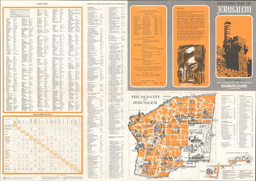
Very good. Exhibits light wear along original fold lines. Text and printed map of the Old City of Jerusalem on verso.
References
OCLC 5407742.