1941 New York City Tunnel Authority Map of the Queens Midtown Tunnel
QueensMidtownTunnel-nycta-1941-2$225.00

Title
The Queens Midtown Tunnel.
1941 (dated) 7.75 x 19.75 in (19.685 x 50.165 cm)
1941 (dated) 7.75 x 19.75 in (19.685 x 50.165 cm)
Description
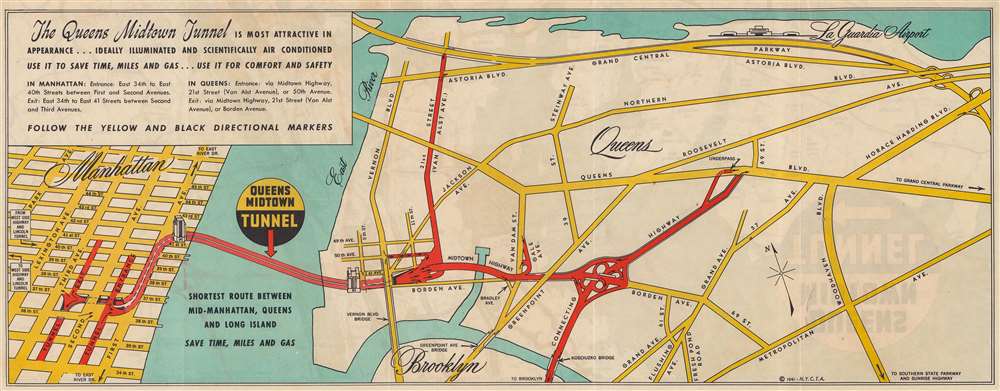
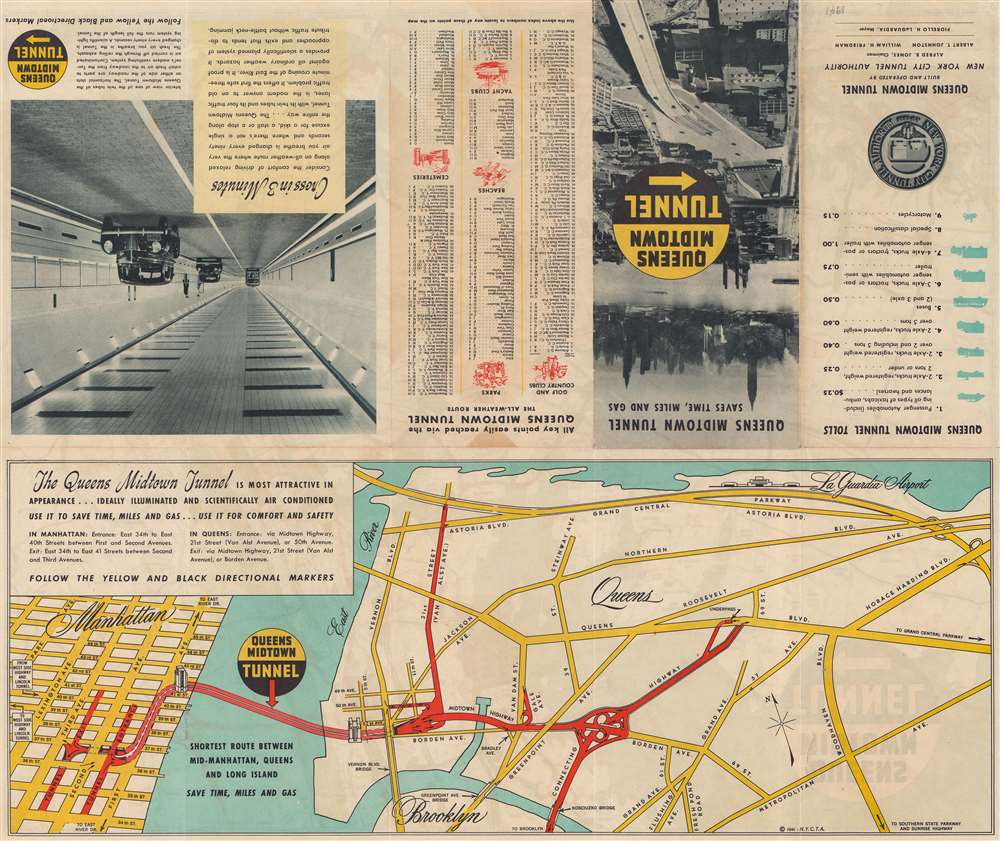
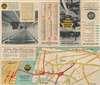
This is a 1941 New York City Tunnel Authority map promoting the virtues of the recently opened Queens Midtown Tunnel. Opened to traffic on November 15, 1940, the arteries into and out of the new tunnel are shaded red, with small black arrows indicating the flow of traffic. Major avenues and boulevards in Queens are illustrated in yellow, while Manhattan's famous street grid is shown from 34th Street to 47th Street and from Park Avenue to the East River. A slogan in the upper left corner reads, 'The Queens Midtown Tunnel is most attractive in appearance…ideally illuminated and scientifically air conditioned use it to save time, miles, and gas…use it in comfort and safety'.
The Queens Midtown Tunnel
First proposed in 1921, and then again in 1926, the program for the tunnel didn't receive the green light until May 1935. Construction began in October 1936, with President Franklin D. Roosevelt attending the groundbreaking ceremony. Four years later, on October 28, 1940, Roosevelt was given the honor of being the first person to drive through the tunnel. By February 1941, one million vehicles had passed through the tunnel.Publication History and Census
This map was created and published by the New York City Tunnel Authority in 1941 as part of a pamphlet promoting the Queens Midtown Tunnel. We note a single example in OCLC which is part of the collection at the University of Michigan. It is scarce on the private market.Condition
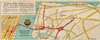
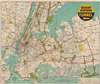
Very good. Two closed fold separations. Map of Long Island region on verso.
References
OCLC 35101945.