This item has been sold, but you can get on the Waitlist to be notified if another example becomes available, or purchase a digital scan.
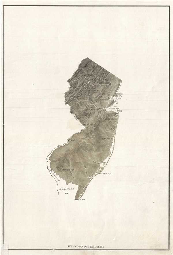
1890 Relief Map of New Jersey
ReliefNewJersey-anonymous-1890$87.50

Title
Relief Map of New Jersey.
1890 (undated) 19.5 x 13.5 in (49.53 x 34.29 cm) 1 : 980000
1890 (undated) 19.5 x 13.5 in (49.53 x 34.29 cm) 1 : 980000
Description
This is an appealing c.1890 map of New Jersey. Covers the entire state. Presented in black and white, the map notes important towns and rivers. Issued primarily as a relief map, the Kittatinny Mountains and the Kittatinny Valley are clearly seen in the north west of the state. The Delaware River is identified. This map was issued in c.1890 as part of a series of relief maps.
Condition
Very good. Minor spotting and edge wear.