1968 National Park Service Raised Relief Map of Sequoia and Kings Canyon National Parks
SequoiaKingsCanyon-natparks-1968$250.00


Title
Sequoia and Kings Canyon National Parks.
1968 (undated) 10.5 x 7.5 in (26.67 x 19.05 cm) 1 : 230000
1968 (undated) 10.5 x 7.5 in (26.67 x 19.05 cm) 1 : 230000
Description
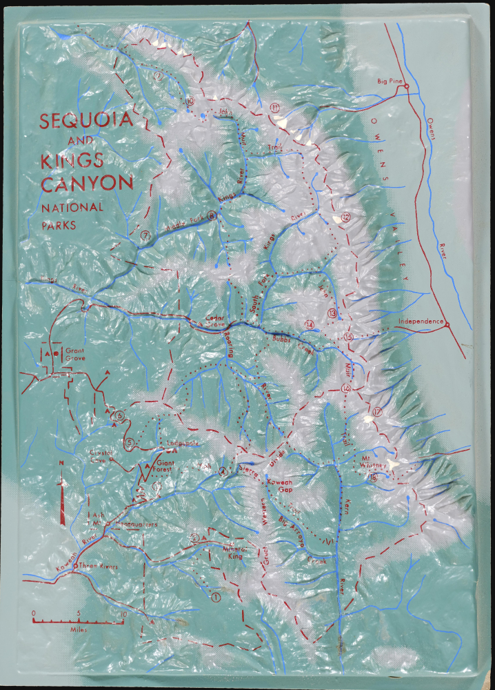
This is an unusual c. 1968 three-dimensional raised relief model of Sequoia and Kings Canyon National Parks in California. It highlights the stunning landscape and steep topography of the region, from the foothills of the Sierra Nevada (below 1,000 feet above sea level) to the peak of Mt. Whitney, at roughly 14,500 feet.
This model was most likely used for educational purposes and originated from the national monument itself. The U.S. Geological Survey had produced raised relief models from its early years in the late 19th century, and the National Park Service followed suit after its creation in 1916. The increased use of plastic and better production methods made the creation of such works much easier in the 20th century. Often these models were large and stationary, displayed permanently or semi-permanently in park visitor's centers, but the present example is much more portable.
A Closer Look
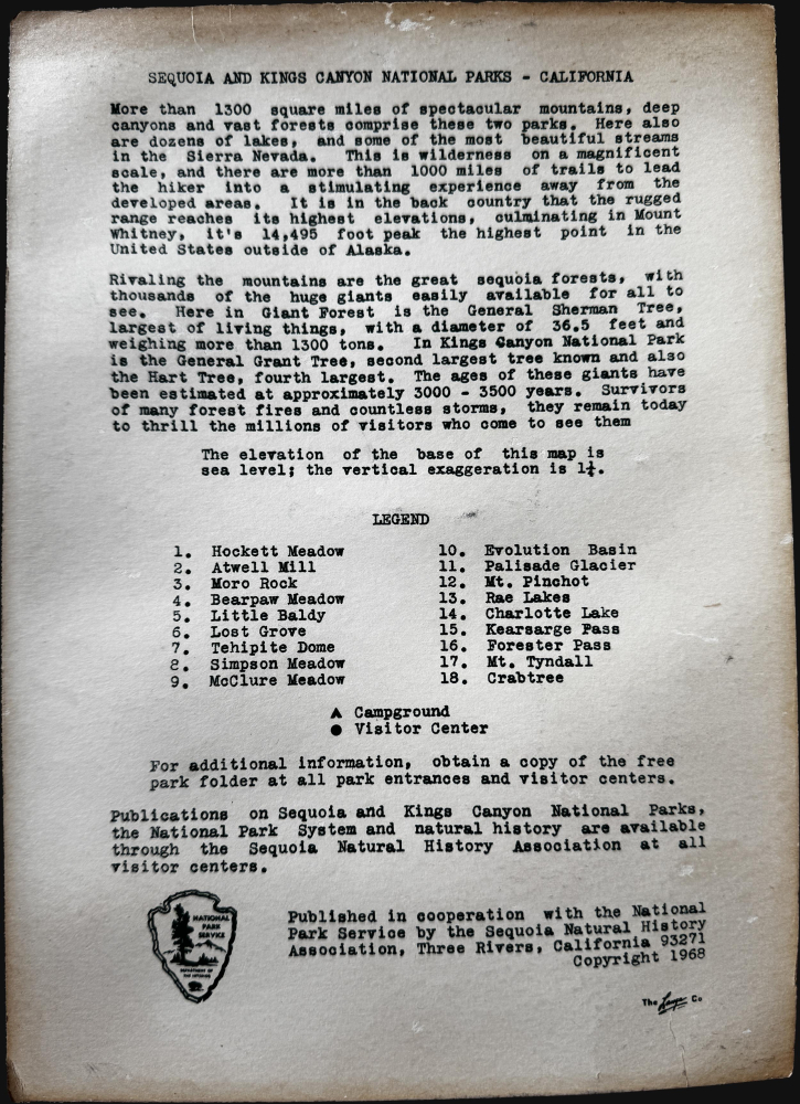
The titular national parks are depicted with surrounding areas, as far north as Big Pine and as far south as Three Rivers. Roads, rivers, and towns are indicated, along with campgrounds, visitors centers, and 18 numbered locations that appear in an index on the accompanying sheet. Major long-distance hiking trails, including the John Muir Trail, are marked with dashed lines. Additional geological, ecological, and historical information on the region and the parks is included on the sheet.This model was most likely used for educational purposes and originated from the national monument itself. The U.S. Geological Survey had produced raised relief models from its early years in the late 19th century, and the National Park Service followed suit after its creation in 1916. The increased use of plastic and better production methods made the creation of such works much easier in the 20th century. Often these models were large and stationary, displayed permanently or semi-permanently in park visitor's centers, but the present example is much more portable.
Sequoia and Kings Canyon National Parks
Though managed as a single unit by the National Park Service since 1943, Sequoia and Kings Canyon National Parks were created separately and have distinct origin stories. Founded on September 25, 1890, Sequoia is the second-oldest national park in the U.S., after Yellowstone. The park was created largely to protect the giant sequoia trees from rampant logging, especially the Giant Forest, home to the General Sherman Tree, the largest tree by volume on Earth. Kings Canyon was originally part of General Grant National Park, created in 1890 to protect the General Grant Tree (a 'National Shrine' since 1956 and now the nation's official Christmas Tree). The area was expanded and renamed Kings Canyon National Park in 1940. In addition to their magnificent trees, the parks are notable for being a starting point to access some of the tallest peaks of the Sierra Nevada, including Mt. Whitney, the tallest mountain in the Lower 48 States.Publication History and Census
This model was prepared by the Sequoia Natural History Association (now part of the Sequoia Parks Conservancy) in conjunction with the National Park Service. The actual maker is indicated at bottom-right, but its name is difficult to discern; it may be the Lange Co., a Colorado-based firm that made ski shoes and other molded plastic ski equipment around the same time. The model is undated but was one of several such raised relief models of National Parks produced during the late 1960s, some of which (not including the present work) are cataloged in the OCLC among the holdings of the University of California, Los Angeles.Cartographer
The National Park Service (August 25, 1916 - Present) is a United States government agency tasked with managing all national parks, most national monuments, and other historical, recreational, and natural properties. Part of the U.S. Department of the Interior, the Service oversaw 423 units in 2020, sixty-three of which were national parks, and employed over 12,500 people. More by this mapmaker...
Condition
Very good. Minor chip lower-left corner. Molded plastic mounted on paper.