
This item below is out of stock, but another example (left) is available. To view the available item, click "Details."
Details
1961 Sahab City Plan or Map of Tehran, Iran
$800.00
1961 Sahab City Plan or Map of Tehran, Iran.
Tehran-sahab-1961$425.00

Title
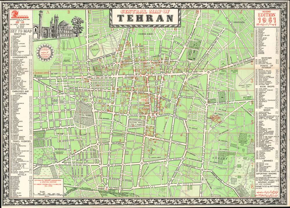
Central Map of Tehran.
1961 (dated) 19 x 26.75 in (48.26 x 67.945 cm) 1 : 18000
1961 (dated) 19 x 26.75 in (48.26 x 67.945 cm) 1 : 18000
Description
This is a 1961 Abbas Sahab city plan or map of central Tehran, Iran. Composed almost entirely in English, streets throughout the area are labeled using Latin characters. A handful of locations around the city are identified on the map as well, including the Sahab Geographical and Drafting Institute, Air Force Headquarters, the Doshan-Tappeh Airport, Pahlavi Hospital, and the U.S. and Soviet Embassies. Red numbers incised in red circles mark 218 other locations, including book shops, travel agencies, hotels, museums, banks, government ministries and departments, and embassies. These correspond with indexes along the left and right borders.
Publication History and Census
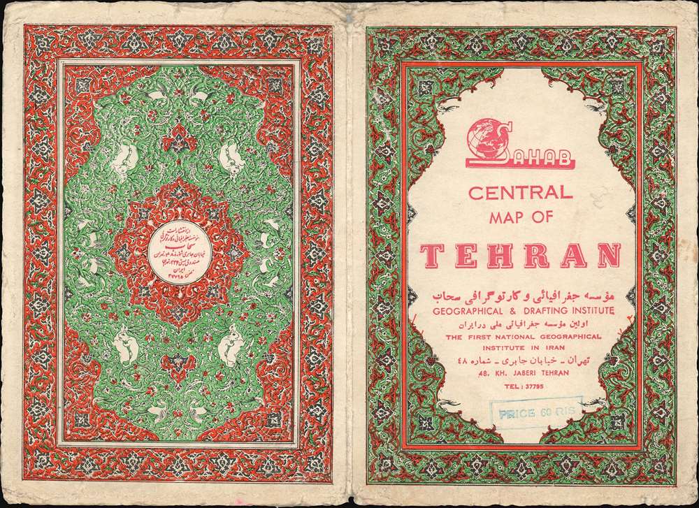
This map was created and published by Abbas Sahab in 1961. Nine examples are cataloged in OCLC and are part of the institutional collections at Ohio State University, the University of Chicago, the University of Minnesota Minneapolis, California State Univeristy Sacramento, the National Library of Scotland, the University of Oxford, the Bibliotheek Universiteit van Amsterdam, the Universiteitsbibliotheek Leiden, and the Staats-und Universitätsbibliothek Hamburg.Cartographer
Abbas Sahab (1921 – April 2, 2000) was an Iranian cartographer and publisher active in Terhan in middle part of the 20th century. He is considered the 'Father of Iranian Cartography.' Sahab was born in Fam, Tafresh district, Iran. He was the son of Ostad Abolghasem Sahab Tafreshi, an Iranian writer, publisher and, from 1935, founder of the Sahab Drafting and Geographic Institute.This was the first private geographical publisher in modern Iran. The company was soon passed to Abbas, under whose guidance the company published over 1500 works, including maps, atlases, prints, and scientific and medical illustrations. Abbas himself traveled throughout Iran, often mapping individual towns and adding his own artistic flair to the maps. His most important maps illustrate Tehran, Esfahan, and Mazandaran. He also traveled extensively abroad, producing maps of Afghanistan, Pakistan, Iraq, and Turkey. After his death, the Sahab Drafting and Geographic Institute was taken over by his sons and remains an active concern to this day. More by this mapmaker...
Condition
Very good. Exhibits light wear along original fold lines. Verso reinforcement along a fold line. Blank on verso. Accompanied by original binder.
References
OCLC 48603654.