1972 Summer Resorts and Tourism Service Tourist Map of Iraq
TouristIraq-tourismservice-1970$500.00

Title
Iraq Tourist Map.
1970 (undated) 29.5 x 24.25 in (74.93 x 61.595 cm) 1 : 1500000
1970 (undated) 29.5 x 24.25 in (74.93 x 61.595 cm) 1 : 1500000
Description
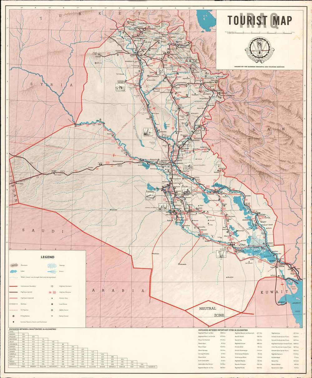
This is a c.1970 Summer Resorts and Tourism Service tourist map of Iraq. Artistic views highlight eight ancient sites across Iraq. Among these are the ancient city of Ur, the Shrine of Imam Ali in Najaf, the Malwiya Mosque (also known as the Great Mosque of Samarra - labeled here as 'Spiral Minaret'), the Temple of Hatra (feared destroyed by ISIL in 2016, but the damage was less extensive than initially feared), the Lamassu or Winged Bull of Nineveh (literally defaced by ISIL in 2015), the Arch of Ctesiphon in Taq Kasra, and the Lion of Babylon near Babylon. Cities and towns are labeled throughout, with different symbols relating to each one's relative size. Paved and unpaved highways, railways, and oil pipelines are traced. Black diamonds mark filling stations, a necessity of modern travel.
Publication History and Census
This map was created and published by the Summer Resorts and Tourism Service of the Iraqi Tourism Administration. It is well represented institutionally and appears on the private market from time to time.Condition
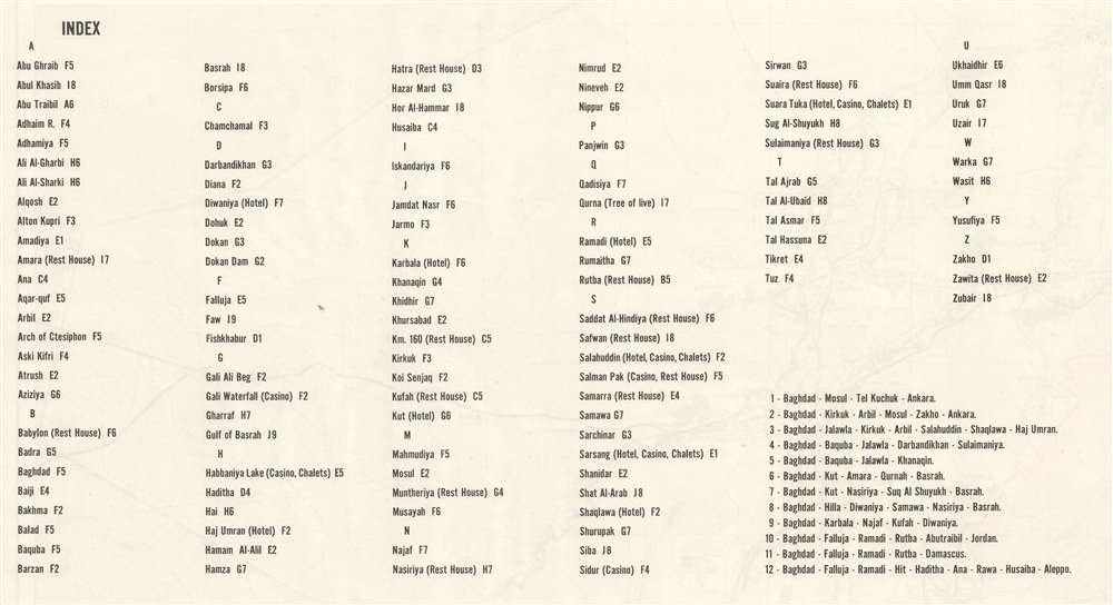
Very good. Exhibits some creasing and foxing. Closed margin tear professionally repaired on verso. Index on verso.
References
OCLC 9518957.