This item has been sold, but you can get on the Waitlist to be notified if another example becomes available.
1859 Walling First Edition Wall Map of Vermont (Scarce!)
Vermont-walling-1859
Title
1859 (dated) 61 x 61 in (154.94 x 154.94 cm) 1 : 160000
Description
A Closer Look
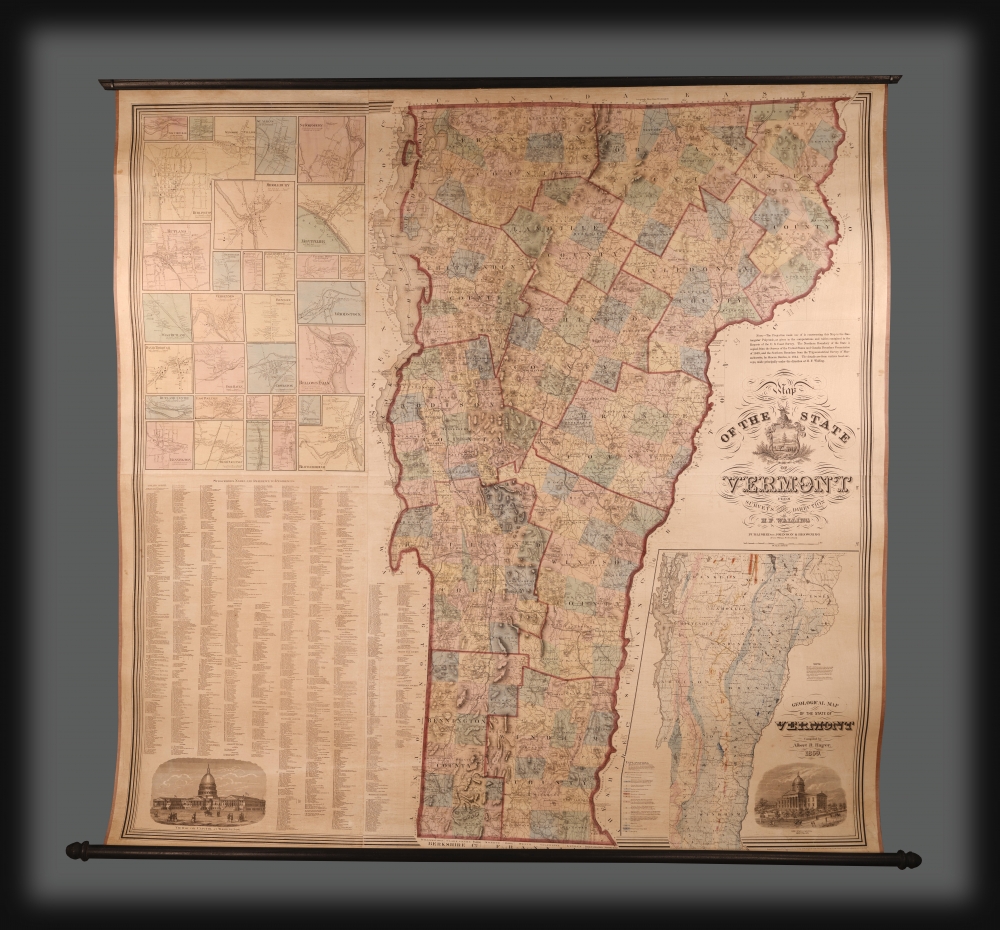
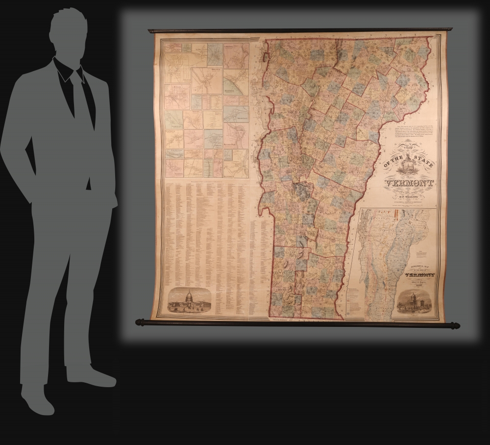
This enormous map covers Vermont in full. It combines the features of a topographical map with those of a physical map. Towns, mills, mines, quarries, toll gates, roads, and even large estates are identified. Elevation is illustrated with hachure. For each town and county, several supplementary dates are provided, reflecting that entity's incorporation date and founding. There are also historical notes relating to battles and other events. In the lower left, there is a large inset geological map based on the cartography of geologist Albert David Hager.Publication History and Census
This map was drawn and compiled by Henry F. Walling. The smaller geological inset is derived from the work of Albert D. Hager. The map was printed and published jointly with the large New York firm of Johnson and Browning. In 1860, Walling published a similar map, with the same title but generally updated content and border work. Cobb, in his cartobibliography of Vermont maps, notes only three holdings of the present map: the Library of Congress, the Vermont Historical Society, and Dartmouth College. We have not been able to isolate any additional holdings, and this edition does not appear in OCLC.CartographerS
Henry Francis Walling (June 11, 1825 - April 8, 1889) was an American civil engineer, cartographer, surveyor, and map publisher active from the middle to late 19th century. Walling was born in Providence, Rhode Island. He studied/worked at the Providence Athenaeum before discovering a talent for mathematics and surveying. Walling took a position with Samuel Barrett Cushing (1846 - 1888), a Providence-based civil engineer with whom he issued in 1846 a revision of James Steven's Topographical Map of the State of Rhode-Island. Walling established himself independently around 1850 and immediately began preparing a series of town plans focusing on Bristol County, near Providence. Buoyed by widespread interest in his plans, Walling expanded his operations to Massachusetts, where, by 1857, he had produced no less than 50 town plans. Apparently, Walling's business model involved a contract with town officials to produce a certain number of maps, after which he acquired the right to print and sell additional copies on his own account. This work eventually led to Walling's appointment as Massachusetts "Superintendent of the State Map", a designation that began appearing on his maps around 1855. While Walling's work focused heavily on city and county maps, he successfully published three scarce state maps: Maine, Vermont, and Rhode Island. In 1856, Walling relocated his headquarters to New York City, where he had better access to quality lithographers. The Civil War (1861 - 1865) proved difficult for Walling, and diminished sales may have forced him into a partnership with Ormando W. Gray, with whom he published numerous state, county, and national atlases in the 1860s and 1870s. Around 1880, Walling took a post with the U.S. Coast Survey, with whom he worked on various charts until requesting a transfer in 1883 to the newly formed U.S. Geological Survey. Walling remained with the Geological Survey until his untimely death of a heart attack in April 1889. More by this mapmaker...
Alvin Jewett Johnson (September 23, 1827 - April 22, 1884) was a prolific American map publisher active from 1856 to the mid-1880s. Johnson was born into a poor family in Wallingford, Vermont, where he received only a basic public education. He is known to have worked as a school teacher for several years before moving to Richmond, Virginia. Johnson got his first taste of the map business as a salesman and book canvasser for J. H. Colton. The earliest Johnson maps were published with D. Griffing Johnson (no clear relation) and date to the mid-1850s; however, it was not until 1860 that the Johnson firm published its first significant work, the Johnson's New Illustrated (Steel Plate) Family Atlas. The publication of the Family Atlas followed a somewhat mysterious 1859 deal with the well-established but financially strapped J. H. Colton cartographic publishing firm. Although map historian Water Ristow speculates that Colton sold his copyrights to Johnson and his business partner, another Vermonter named Ross C. Browning (1822 - 1899), a more likely theory is that Johnson and Browning financially supported the Colton firm in exchange for the right to use Colton's existing copyrighted map plates. Regardless of which scenario actually occurred, it is indisputable that the first Johnson atlas maps were essentially reissues of earlier Colton maps. Early on, Johnson described his firm as the 'Successors to J. H. Colton and Company'. Johnson's business strategy involved transferring the original Colton steel plate engravings to cheaper lithographic stones, allowing his firm to produce more maps at a lower price point. In 1861, following the outbreak of the American Civil War (1861 - 1865) Johnson and Browning split their firm between two offices. Johnson moved from Richmond, Virginia, to New York City. Browning remained in Richmond, where he published at least one more edition of the atlas in 1862, at the height of the war. Johnson and Browning published two editions of the Johnson Atlas: 1860 (Richmond and New York) and 1861 (Richmond and New York). Sometime in 1861, Browning's portion of the firm (or perhaps the New York portion?) was purchased by Benjamin P. Ward, whose name subsequently replaced Browning's on the imprint. The 1863 issue of the Family Atlas was one of the most unusual, it being a compilation of older 'Johnson and Browning' maps, updated 1862 'Johnson and Ward' maps, and newer 1863 maps with a revised border design. The 1864 issue of the Family Atlas is the first fully 'Johnson and Ward' atlas. Johnson published one more edition of the atlas in partnership with Ward in 1865, after which Johnson bought out Ward. The next issue of the atlas, 1866, is the first purely 'Johnson' atlas with all new map plates, updated imprints, and copyrights. The Family Atlas went through roughly 27 years of publication, from 1860 to 1887, outliving Johnson himself, who died in 1884. Johnson maps from the Family Atlas are notable for their unique borders, of which there are four different designs, the 'strapwork border' from 1860 to 1863, the 'fretwork border' from 1863 to 1869, the 'spirograph border' in 1870 to 1882, and a more elaborate version of the same from 1880 to 1887. In addition to the Family Atlas, Johnson issued numerous wall maps, pocket maps, and in the 1880s, the Cyclopedia. Johnson maps are known for their size, accuracy, detail, and stunning, vivid hand coloring. Johnson's maps, purely American in their style and execution, chronicle some of the most important periods in American history, including the Civil War, the Westward Expansion, and the Indian Wars. Today Johnson's maps, especially those of the American West, are highly sought after by map collectors and historians. Learn More...
Ross Charles Browning (September 8, 1822 - March 26, 1899) was an American publisher and editor. Browning was born in Barre, Vermont in 1822. He studied at the Liberal Institute of Lebanon, New Hampshire. Afterward graduating he move to Sussex County, New Jersey, where he taught school. Seeking a better future in the bustling railroad industry, he took a position with the Erie Railroad at Piermont-on-the-Hudson. Relocating to Richmond, Virginia, he entered the publishing business in 1859, when he partnered with Alvin Jewett Johnson (1827 - 1884) to introduce Johnson's New Illustrated (Steel Plate) Family Atlas under the imprint of 'Johnson and Browning'. Perhaps seeing war on the horizon, Johnson and Browning spit their firm, with Johnson moving to New York and Browning running the southern arm of the firm out of Richmond. Richmond editions of the atlas are extremely rare, and contain several different maps from the New York editions. We are aware of Richmond editions in 1860 and 1861. At this time, Browning, being an ardent Union man, snuck through the lines to settle in New York. Back in Richmond, Johnson and Browning's printer Charles H. Wynne (1822 - 1870) transitioned his presses for the Confederacy, printing currency and war bonds. It is unclear how Johnson and Browning divided the firm when Johnson moved to New York, be subsequent editions of the atlas appear under 'Johnson and Ward', suggesting a sale of shares. What is known is that he left the publishing business altogether in 1863 during the New York Draft Riots (Jul 11, 1863 – Jul 16, 1863) to volunteer as a vigilante, a profession he continued throughout the war. After the war, Browning settled in Llewellyn Park, New Jersey, where he started a new business manufacturing and selling clothes wringers. He remained in this business until selling out to a conglomerate in 1892. He died in Jacksonville, Florida from pneumonia. Learn More...
Albert David Hager (November 1, 1817 - July 29, 1888) was an American geologist, librarian, and historian. Hager was born in Chester, Vermont. In 1856, he became the Assistant Naturalist of Vermont, under Edward Hitchcock (1857 - 1861), and in 1862 accepted an appointment as State Geologist and Curator of the State Cabinet of Natural History. In this capacity, Hager served as the Vermont Commissioner for the 1867 Paris Exposition Universelle. He remained in this position until 1870, when he relocated to Missouri, becoming the State Geologist there. In 1877, Hager moved again, this time to Chicago, where he took a position as the librarian of the Chicago Historical Society. Hager died in Chicago in 1888. Learn More...


