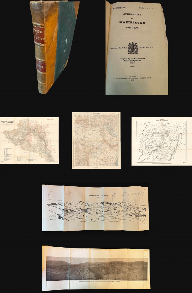
1921 Survey of India / General Staff Confidential Report and Maps of Waziristan
Waziristan-surveyofindia-1921
Title
1921 (dated) 9.75 x 6.5 in (24.765 x 16.51 cm)
Description
A Closer Look
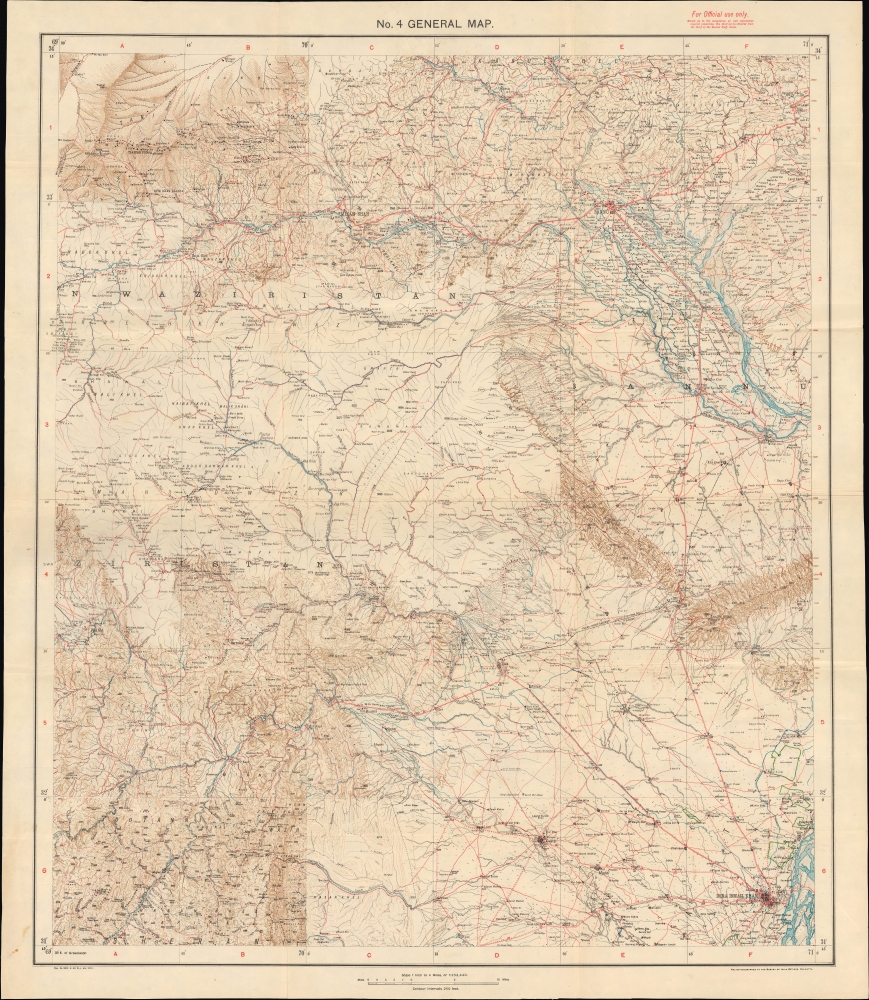
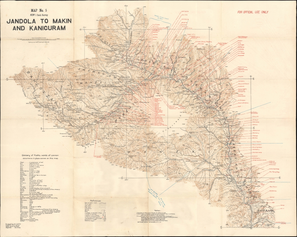
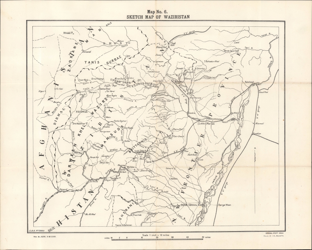
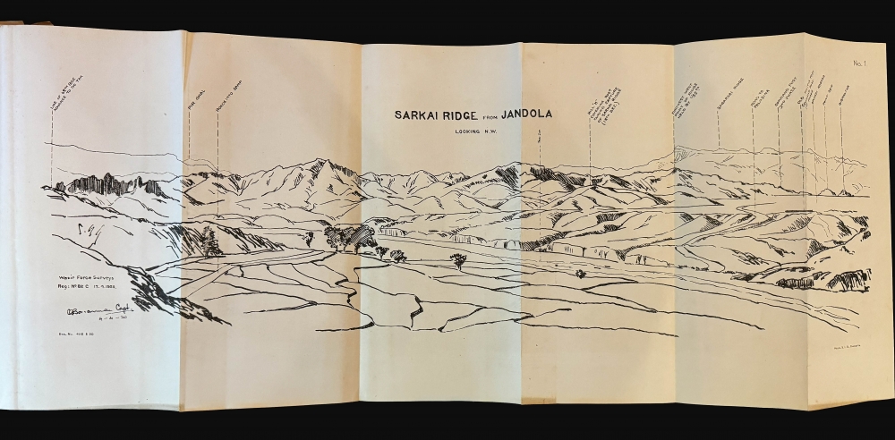
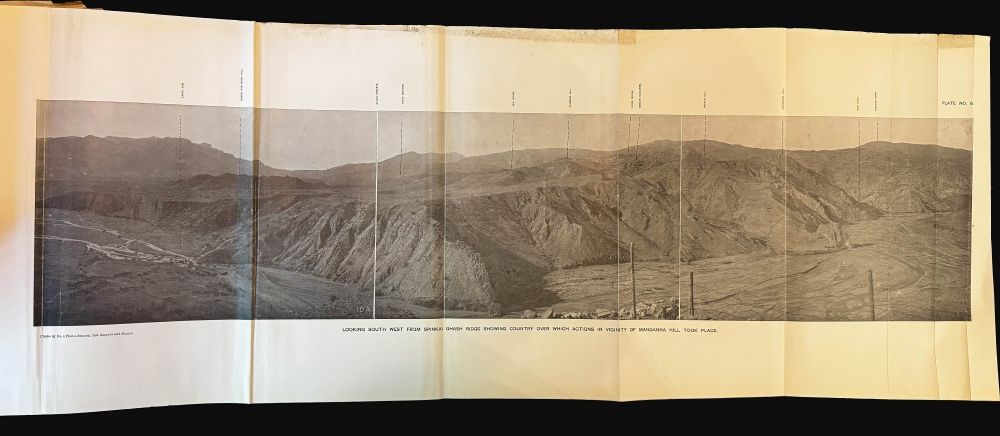
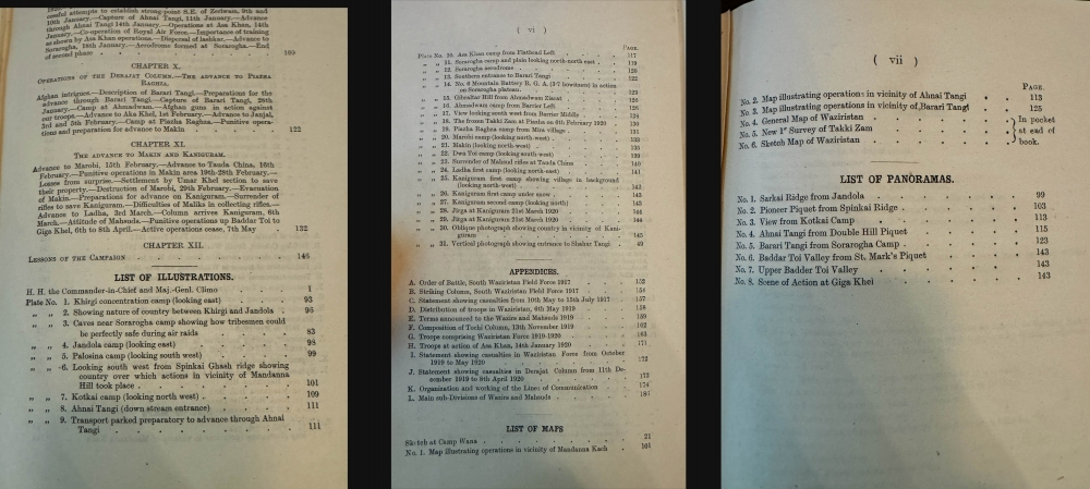
Marked Confidential in the upper right corner of the title page, this first edition of the report is richly detailed, featuring a frontispiece, 31 plates, seven maps (three enclosed in a pocket), and eight folding panoramas that showcase the terrain and operational zones. The included maps offer granular insights into British movements and positions, while the panoramas visually capture the mountainous expanse of Waziristan, a region marked by rugged terrain and hostile tribes.The text offers a comprehensive analysis of prior British campaigns in the area, providing a detailed strategic context for the decisions and tactics employed. Notably, this edition concludes with a reflection on the lessons learned, specifically on the strategic role of aircraft in overawing and surveilling the tribes, a pioneering tactic at the time.
Historical Context
The Waziristan campaign unfolded after the Third Anglo-Afghan War (1919) and aimed to quell the unrest sparked by regional instability and Afghan nationalist movements. Waziristan, now part of Pakistan, was home to fiercely independent Waziri and Mahsud tribes, which periodically resisted British control. The British had long recognized this region's strategic significance and compiled histories of their military engagements there since the 1870s. Much of this was done to prepare future commanders for the immense challenges of this frontier.In 1917, during World War I (1914 - 1918), the Mahsuds launched incursions against British positions, testing the limits of the Empire’s control. The following year, Waziri tribes carried out raids, prompting the British to respond with military operations characterized by traditional infantry and innovative aerial support. After a year of intermittent fighting, British forces restored a tenuous peace, though the campaign left enduring lessons on colonial warfare and military frontier management.
Publication History and Census
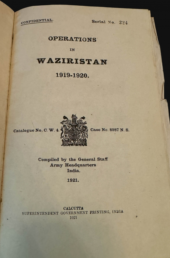
The British Indian Army published the report in Calcutta in 1921, a year after the campaign ended. It was initially produced as a confidential military report with serial number 224. The report is held in several institutional libraries across the world, especially in India and Great Britain. It appears on the open market at regular intervals. However, it continues to be in high demand due to its illustrative character and importance as a critical source on the history of the British presence in India.Cartographer
Survey of India (1767 - Present) is India's central engineering agency in charge of mapping and surveying the country. It was founded in 1767 by Major James Rennell, who took the post of first Surveyor General, with the mission to map and consolidate the territories of the British East India Company. The Survey undertook the Great Trigonometrical Survey between 1802 and 1852 in an attempt to accurately measure the Indian Subcontinent - considered one of the greatest feats of mapping of all time. It also sponsored clandestine surveys, at times disguised as Buddhist pilgrims, to infiltrate and map Tibet, then a closed country. With India's independence in 1947, the Survey was folded into the new Indian government, which it remains part of to this day. More by this mapmaker...

