This item has been sold, but you can get on the Waitlist to be notified if another example becomes available.
1966 Ferozsons Map of West Pakistan and India and the 1947 and 1965 Cease-Fire Lines
WestPakistan-ferozsons-1966$425.00

Title
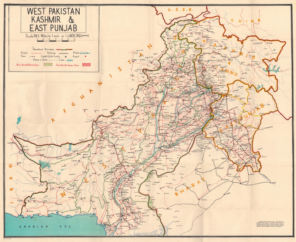
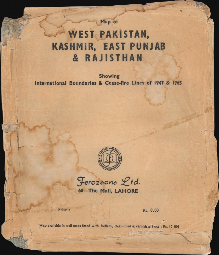
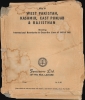
Map of West Pakistan, Kashmir, East Punjab and Rajisthan Showing International Boundaries and Cease-fire Lines of 1947 and 1965. / West Pakistan Kashmir and East Punjab.
1966 (undated) 32.5 x 40.25 in (82.55 x 102.235 cm) 1 : 1805760
1966 (undated) 32.5 x 40.25 in (82.55 x 102.235 cm) 1 : 1805760
Description
This is a 1966 Ferozsons map of West Pakistan issued following the Indo-Pakistani War of 1965. While the conflict is little known outside of the respective aggressor nations, viewed in the context of the Cold War, it led to a major geopolitical transition, as both nations felt betrayed by western powers and instead developed closer ties to the Soviet Union and China.
A Closer Look
Coverage extends from Iran to East Punjab, highlighting the 1947 and 1965 cease-fire lines. Occupied border zones are shaded red (Indian) or green (Pakistan). Cities and towns are identified within West Pakistan and in the Indian provinces of East Punjab and Bharat, as well as the Indian administered Jammu and Kashmir. The region's road and rail networks are detailed.Indo-Pakistani War of 1965
The Indo-Pakistani War of 1965 was the culmination of a series of skirmishes between India and Pakistan between April and September 1965. Des[ote thousands of casualties on each side and the largest tank battle since World War II, the conflict ended in stalemate. The war followed Pakistani efforts to ignite an insurgency in Jammu and Kashmir. Fear of insurgence led to the largest massing of Indian troops in Kashmir since the Partition of 1947. Conflict ended after Soviet and American diplomatic interventions forced a ceasefire. The Tashkent Declaration that officially ended the war was signed on January 10, 1966. Despite a military stalemate, the Indo-Pakistani War is seen as a political and strategic defeat for Pakistan since Jammu and Kashmir never revolted and Pakistan failed to garner international support.Publication History and Census
This map was created and published by Ferozsons in 1966. We note seven examples cataloged in OCLC: Ohio University, the Chandler School of Theology, the University of Wisconsin-Madison, Fort Hays State University, the University of Montana, the University of Arizona, and Santa Clara University.Cartographer
Ferozsons (1894 - Present) is a publishing and printing company in Lahore, Pakistan, founded by Moulvi Feroz-ud-Din. The company launched the daily newspaper Eastern Times in 1931 which was published until late 1947. Its first flagship bookstore opened on The Mall in Lahore in 1947 and closed in 2017. Today, the company publishes and prints books, stationary, magazines, and gift items. More by this mapmaker...
Condition
Very good. Mounted on linen. Light wear along original fold lines.
References
OCLC 18577050.