
Bradley, Garretson and Co.

Bradley, Garretson and Co. (fl. c. 1880 - 1900) were prominent cartographic publishers active in the later part of the 19th century. Bradley acquired Samuel Augustus Mitchell Junior's atlas plates in the late 1880s which he used to publish his own version of Mitchell's atlas. The firm had offices both in Philadelphia, at 66 North Fourth Street, and in Brantford, Ontario.
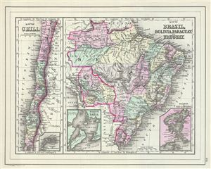
Map of Chili. Map of Brazil, Bolivia, Paraguay and Uruguay.
$100.00
Acquire
- Digital Map Information
- Suitable for large format printing
- File Size: 6.15 MB
- File Type: ZIP / TIFF
- ICC color profile embedded
- Delivered instantly via download link
This is a fine example of William M. Bradley's 1887 map of Chile, Brazil, Bolivia, Paraguay and Uruguay. The map is divided into two parts. The map on the left depicts chili with an inset map of the Island of Juan Fernandez. The right hand maps shows Brazil, ... (more details)
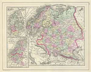
Russia in Europe, Sweden and Norway. Map of Denmark. Map of Holland and Belgium.
$100.00
Acquire
- Digital Map Information
- Suitable for large format printing
- File Size: 6.28 MB
- File Type: ZIP / TIFF
- ICC color profile embedded
- Delivered instantly via download link
This is a fine example of William M. Bradley's 1887 map of Russia, Norway, Sweden, Holland Belgium and Denmark. Maps of Denmark, Holland and Belgium relegated to insets on the left hand side of the sheet. The larger map covers Scandinavia and the european ... (more details)
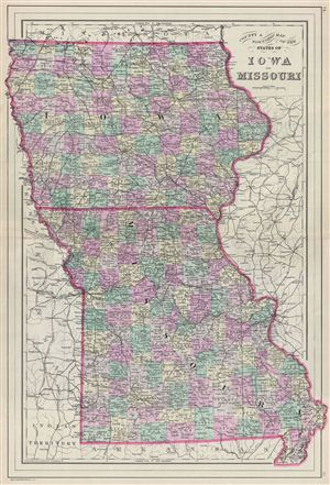
County & Township Map of the States of Iowa and Missouri.
$100.00
Acquire
- Digital Map Information
- Suitable for large format printing
- File Size: 14.08 MB
- File Type: ZIP / TIFF
- ICC color profile embedded
- Delivered instantly via download link
A fine example of William M. Bradley's 1887 map of Iowa and Missouri. The map covers both states of Iowa and Missouri in fine detail along with parts of neighboring Nebraska, Kansas, Arkansas, Minnesota and Illinois. Bradley also delineates survey grids ... (more details)
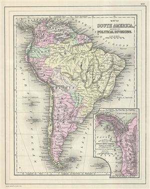
Map of South America, Showing its Political Divisions.
$100.00
Acquire
- Digital Map Information
- Suitable for large format printing
- File Size: 5.91 MB
- File Type: ZIP / TIFF
- ICC color profile embedded
- Delivered instantly via download link
This is a fine example of William M. Bradley's 1887 map of South America. It depicts the whole continent from Panama to Cape Horn, including the Falkland and South Georgia island groups. It denotes both political and geographical details. Features ... (more details)
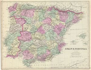
Spain & Portugal.
$100.00
Acquire
- Digital Map Information
- Suitable for large format printing
- File Size: 8.18 MB
- File Type: ZIP / TIFF
- ICC color profile embedded
- Delivered instantly via download link
This is a fine example of William M. Bradley's 1887 map of Spain and Portugal. It covers all of Spain and Portugal from France to the Strait of Gibraltar. The Balearic Islands of Ibiza, Majorca and Minorca are included. Various towns, cities, ... (more details)