
Hooghe, Romeyn de
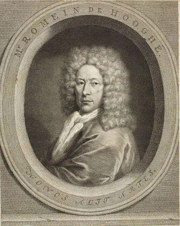
Romeyn de Hooghe (Septemer 10, 1645 – June 10, 1708) was a Dutch engraver, portrait artist, caricaturist, painter, and sculptor active in Amsterdam during the second half of the 17th century and opening years of the 18th century. De Hooghe was born in Amsterdam and revealed an early talent for all forms of visual arts. He became known caricaturist and is admired today as one of the first great graphic satirists. During his life he was criticized for his proclivity towards humorous tongue-in-cheek subjects. He nonetheless developed a following and produced a prolific amount of work, some 5000 engravings. He was a member of the Confrerie Pictura in 1662 and 1683. Cartographically he is best known for his decorative border work. His disciples were Filibert Bouttats (1654-after 1731), Filibertus Bouttats (1635–1707), Frans Decker, François Harrewijn, Jacobus Harrewijn, Aernout Naghtegael, Laurens Scherm, and Adriaen Schoonebeek. De Hooghe died in Haarlem on June 10, 1708. Much of his work continued to be republished posthumously.
Masterfully Engraved Nautical Chart.
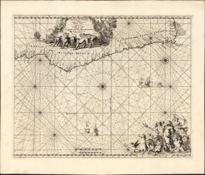
Cimbebas et Caffariae Littora a Catenbela ad Promontorium Bonae Spei/ Pascaerte van Cimbebas en Caffares Streckende van Catembala tot Cabo de Bona Esperanca Gedruckt tot Amsterdam by Frederick de Wit.
$750.00
Acquire
- Digital Map Information
- Suitable for large format printing
- File Size: 24.04 MB
- File Type: ZIP / TIFF
- ICC color profile embedded
- Delivered instantly via download link
This is Frederic De Wit's c. 1675 nautical chart of the southwest coast of Africa, from approximately the river Loge in Angola to the Cape of Good Hope. The chart presents what could be construed as the gateway to the Indian Ocean. De Wit's precise engraving is embellished by the superb etching of Romeyn de Hooghe. (more details)
Graphic illustration of the Slave Trade.
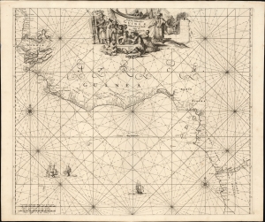
Tractus Littorales Guineae a Promontorio Verde usque ad Sinum Catenbelae.
$950.00
Acquire
- Digital Map Information
- Suitable for large format printing
- File Size: 21.83 MB
- File Type: ZIP / TIFF
- ICC color profile embedded
- Delivered instantly via download link
This is Frederic De Wit's c. 1675 nautical chart of western Africa, extending from modern-day Mauritania to Angola. The map foregrounds the mouth of the River Congo in the south while detailing the complicated coastline between the Rivers Senegal, Gambia, and a 'Rio Grande,' probably the Geba in modern Guinea-Bissau. The whole of this region, and that of Senegal in the north, is historically the Slave Coast: a prime source of African people sold into slavery as part of the Atlantic Slave Trade. (more details)
Magnificent chart with masterful engraving.
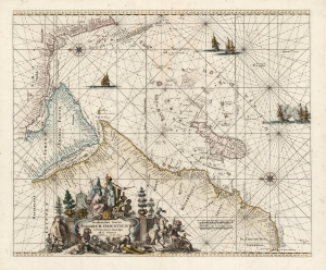
Occidentalior Tractus Indiarum Orientalium à Promontorio Bonae Spei ad C. Comorin.
$825.00
Acquire
- Digital Map Information
- Suitable for large format printing
- DPI: 600
- File Size: 24.08 MB
- File Type: ZIP / TIFF
- ICC color profile embedded
- Delivered instantly via download link
This is Frederic De Wit's map of Africa, Arabia, and part of India, in a handsome example of its scarce 1745 edition printed by Renier and Joshua Ottens. The map represents a key passage in the East India trade routes across the Indian Ocean. It is, moreover, a fine example of the highpoint of Dutch engraving - the work of master engraver Romeyn De Hooghe. (more details)