
Leconte, A.

André Leconte (fl. 1880 - 1930) was a Paris based guidebook and map publisher active in the latter part of the 19th and early 20th centuries. He is one of the publishers of the attractive art nouveau style "Nouveau Paris Monumental" series. Leconte is often associated with L. Guilmin, another Paris based map publisher of the same period. Early in World War II (1939 - 1945) the firm published anti-German propaganda, but briefly shut down operations during the occupation. Leconte's name appears on maps and guidebooks of Paris well after his death (though we can't date this event with any precision) to about 1980.
Stunning Art Deco Map of Paris.
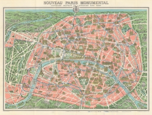
Nouveau Paris Monumental. Itinéraire Pratique de l'Étranger dan Paris.
$400.00
Acquire
- Digital Map Information
- Suitable for large format printing
- Full resolution TIFF file
- ICC color profile embedded
- Delivered instantly via download link
This is a c. 1928 A. Leconte pictorial monumental map of Paris, France. The map highlights monuments and other attractions throughout the City of Light, as well as the city's growing Metro network. (more details)
Includes a detailed plan of the Paris International Colonial Exposition on verso - which included a reconstruction of Angkor Wat.
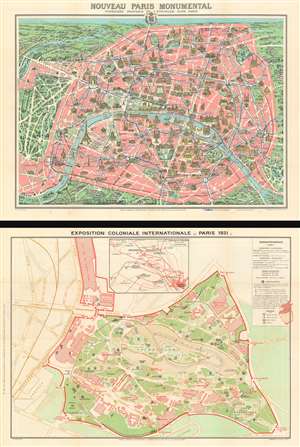
Nouveau Paris Monumental. / Exposition Coloniale Internationale - Paris 1931.
$350.00
Acquire
- Digital Map Information
- Suitable for large format printing
- Full resolution TIFF file
- ICC color profile embedded
- Delivered instantly via download link
This is a 1931 Leconte and Guilmin pictorial map of Paris with a map of the 1931 Paris International Colonial Exposition on the verso. (more details)
French WWII propaganda from before the German invasion.
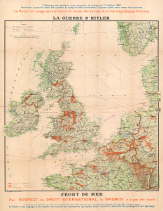
La Guerre d'Hitler. Front de Mer.
$1,200.00
Acquire
- Digital Map Information
- Suitable for large format printing
- File Size: 60.04 MB
- File Type: ZIP / TIFF
- ICC color profile embedded
- Delivered instantly via download link
This is a 1940 Bergelin propaganda map of the British Isles, northern France, and the North Sea at the beginning of World War II (1939 - 1945). The map details the critical effort to keep British and continental shipping lanes and supply lines open. Since this broadside is French, published in Pairs, and anti-German, it must predate the May 1940 German invasion of France. (more details)
Colorful Guide to the City of Light.
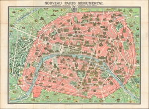
Nouveau Paris Monumental Itieraire Pratique de l'Etranger dans Paris. / Plan de Paris Divise en 20 Arrondissements et 80 Quartiers.
$250.00
Acquire
- Digital Map Information
- Suitable for large format printing
- Full resolution TIFF file
- ICC color profile embedded
- Delivered instantly via download link
An iconic tourist pocket map and guidebook of Paris, France, prepared by André Leconte c. 1946. Designed for tourists, it highlights the monuments and other attractions of the City of Light while also providing practical information for the traveler. (more details)