1946 Leconte Pocket Map of Paris, France showing Monuments
ParisMonumental-leconte-1946-2$250.00


Title
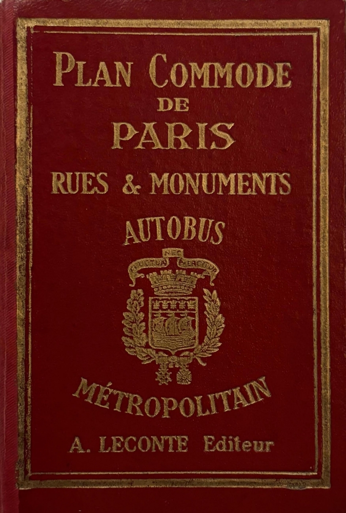
Nouveau Paris Monumental Itieraire Pratique de l'Etranger dans Paris. / Plan de Paris Divise en 20 Arrondissements et 80 Quartiers.
1946 (undated) 21 x 27 in (53.34 x 68.58 cm) 1 : 16000
1946 (undated) 21 x 27 in (53.34 x 68.58 cm) 1 : 16000
Description
An iconic tourist pocket map and guidebook of Paris, France, prepared by André Leconte c. 1946. Designed for tourists, it highlights the monuments and other attractions of the City of Light while also providing practical information for the traveler.
A Closer Look
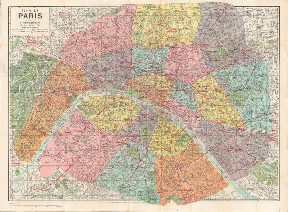
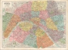
Maps are printed on both sides of the sheet. On the recto, the map centers on the Seine River and covers the heart of Paris. All major monuments, museums, and historic attractions are illustrated, including the Eiffel Tower, Louvre, and Notre Dame. Several more modern structures appear along the periphery of Paris' arrondissements and nearby suburbs. Paris itself is set as if in a verdant garden surrounded by the Bois de Boulogne, Bois de Vincennes, and various suburban villages. Streets are labeled throughout and references are made to the city's rail and subway network. These are displayed much more prominently on the verso, which focuses on the Métropolitain and provides a more thorough accounting of the streets of Paris.Publication History and Census
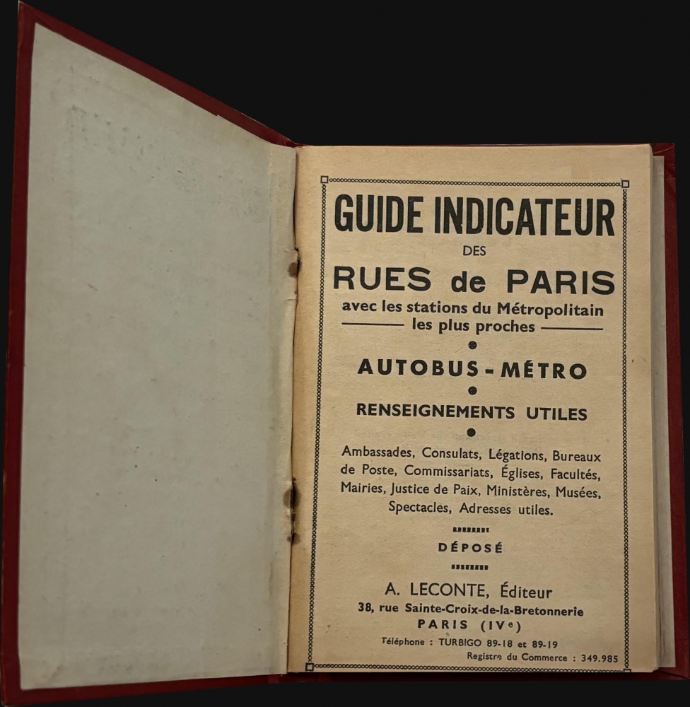
This map was published in various editions from roughly 1900 to the 1960s, originally by Garnier Frères and then by André Leconte. Here, it is issued as part of a tourist guidebook consisting of a street index along with other important tourist information. The monumental map was engraved by L. Poulmaire, while both maps were edited by Leconte (who also published the guidebook) and printed by Gaston Maillet and Co. The maps are undated, but from context (such as the Hôpital Beaujon and cynodrome at the top-left and the Musée Permanent des Colonies at right) must date from the late 1930s to the early 1950s.Cartographer
André Leconte (fl. 1880 - 1930) was a Paris based guidebook and map publisher active in the latter part of the 19th and early 20th centuries. He is one of the publishers of the attractive art nouveau style "Nouveau Paris Monumental" series. Leconte is often associated with L. Guilmin, another Paris based map publisher of the same period. Early in World War II (1939 - 1945) the firm published anti-German propaganda, but briefly shut down operations during the occupation. Leconte's name appears on maps and guidebooks of Paris well after his death (though we can't date this event with any precision) to about 1980. More by this mapmaker...
Condition
Very good. Light wear along original folds. Several small tears along border professionally repaired. Map on verso.