Most recently added antique and rare maps as of 7/16/2025.
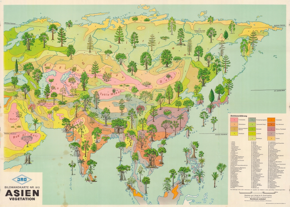
1959 JRO Pictorial Map of Asia and its Vegetation
Over 100 different trees and plants!
$500.00

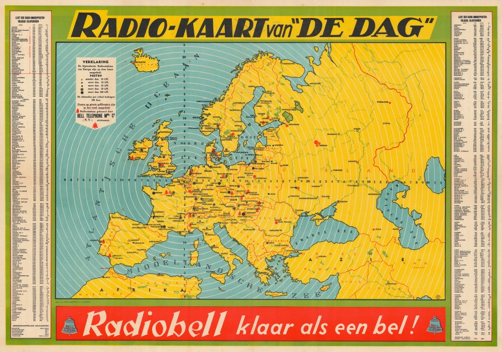
1938 De Dag Radio Station Map of Europe
Radio in Europe on the eve of World War II.
$450.00

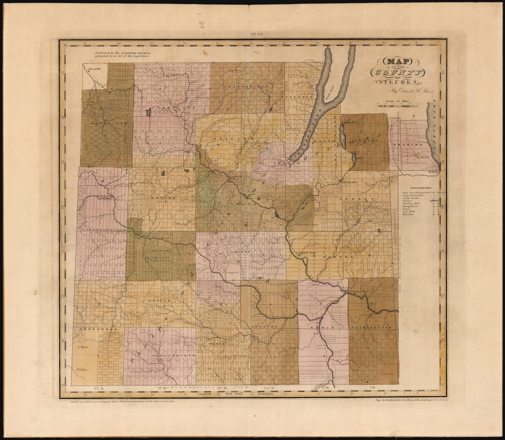
1829 Burr Map of Steuben Counties, New York
The Wine Country of the Southern Finger Lakes Region.
$400.00

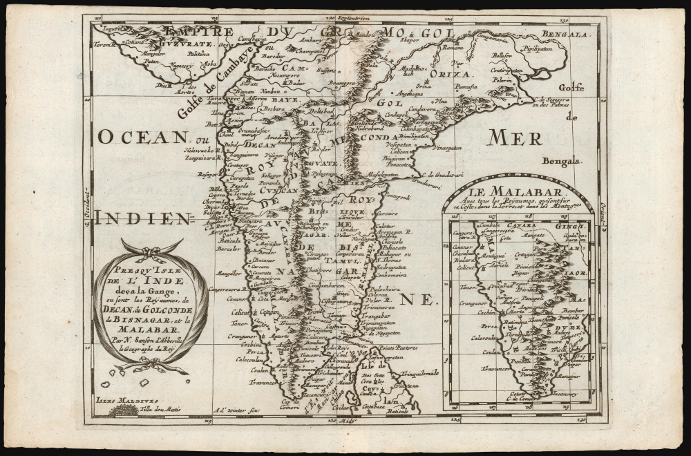
1683 Nicolas Sanson Map the Indian Peninsula and Malabar
An Attractive French Map of India.
$300.00

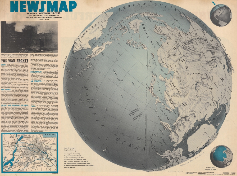
1943 Army Orientation Course Newsmap Map of the Pacific Ocean and Asia
A new perspective on the Pacific Theater.
$275.00

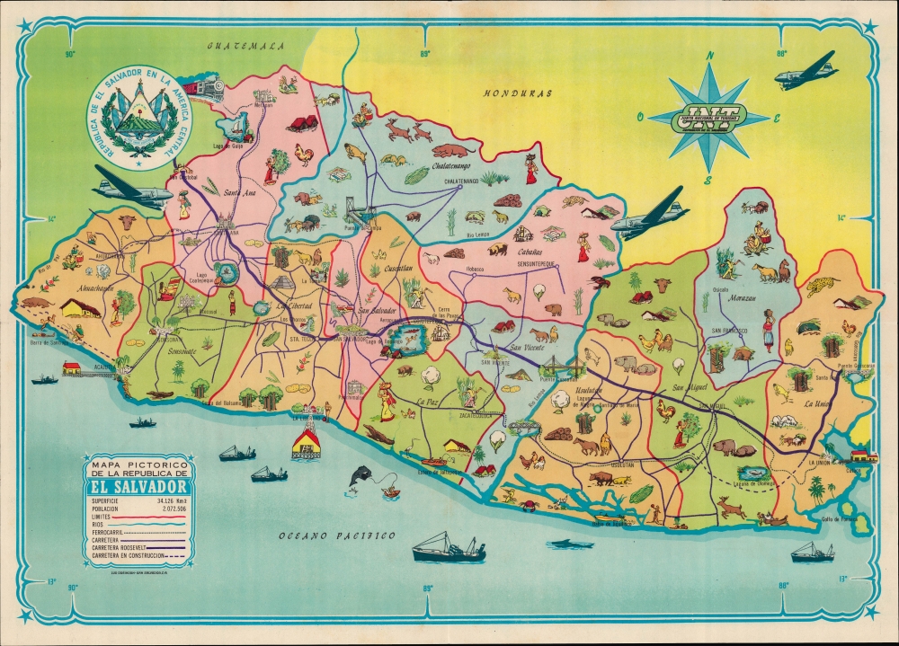
1950 Junta Nacional de Turismo Pictorial Map of El Salvador
Building Bridges across Continents.
$250.00

1987 Louisiana Dept. of Tourism Pictorial Map of Louisiana in French for French Tourists
Pictorial map of the Vieux Carré on the verso!
$200.00

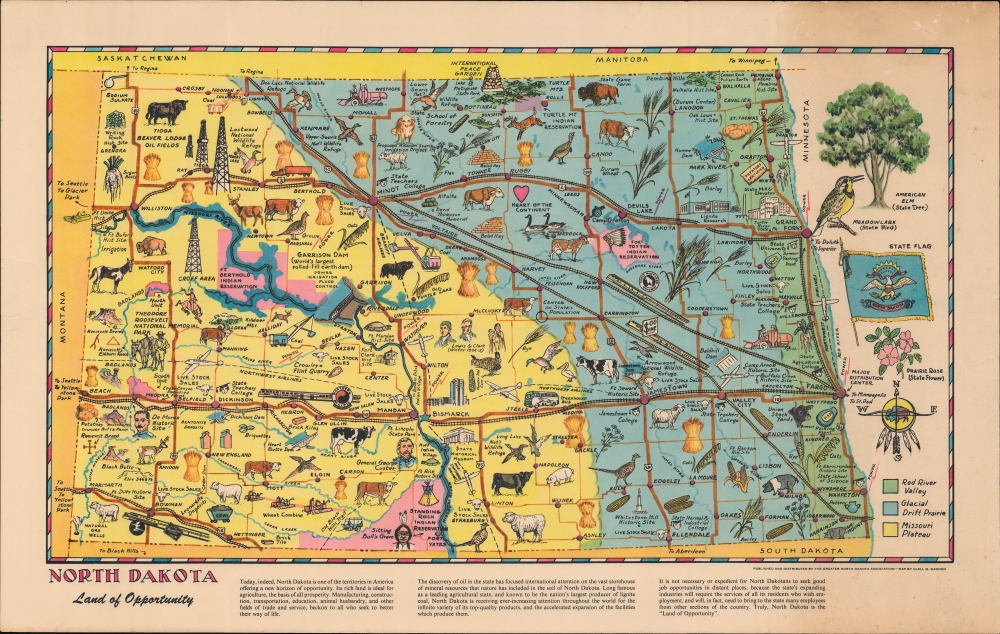
1950 Gannon Pictorial Map of North Dakota
North Dakota's Past, Present, and Future.
$200.00

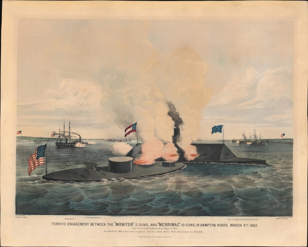
1862 Currier and Ives View of the Civil War Battle of the 'Monitor' and 'Merrimac'
First Clash of Ironclads - by America's first female professional artist.
$8,500.00

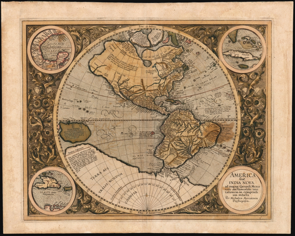
1595 Mercator Map of America (First Atlas Edition)
Only America map of the Mercator Atlas.
$6,500.00

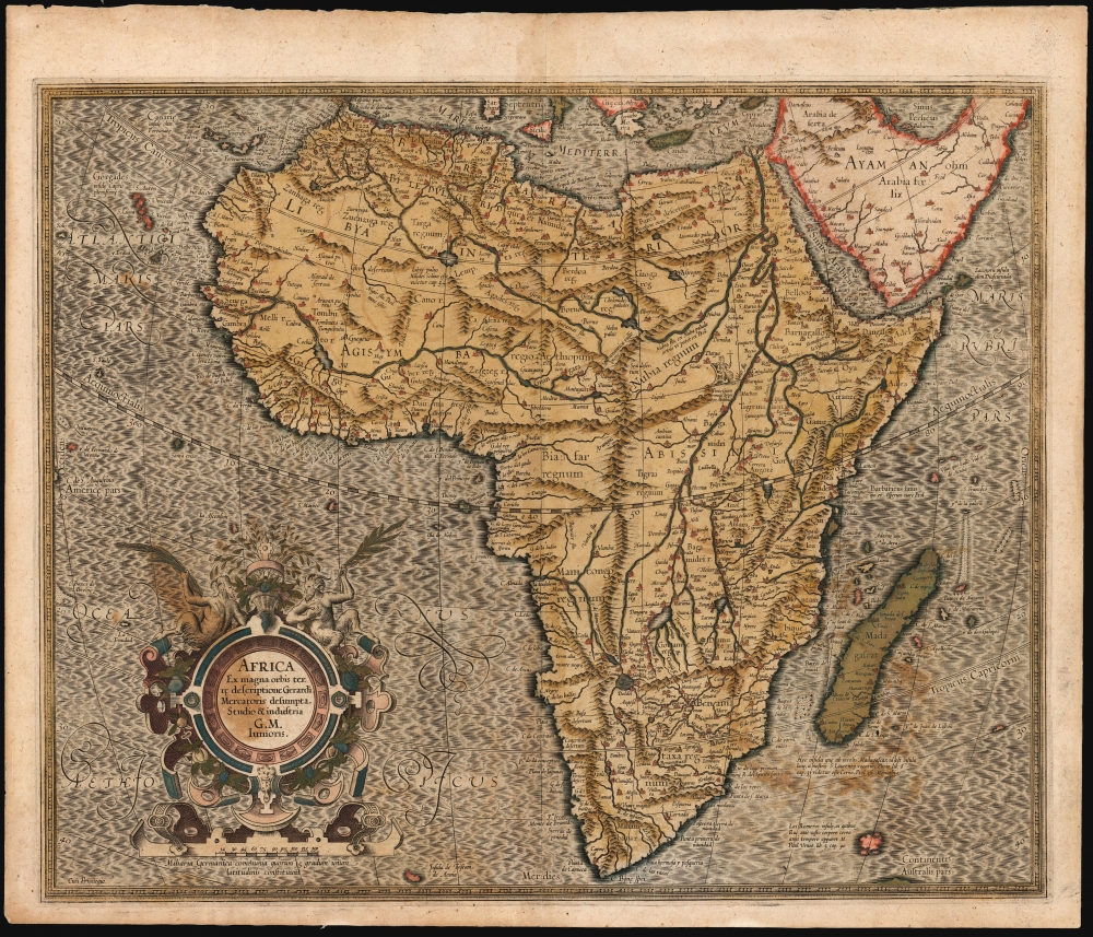
1595 Mercator Map of Africa (First Atlas Issue)
By 'The Ptolemy of His Age'.
$2,500.00

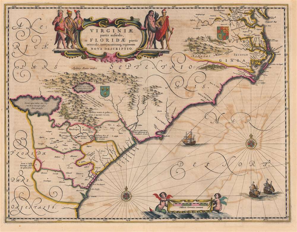
1644 Jansson Map of Carolina, Georgia, Florida, Virginia
Conflicting French and English claims to the Carolina, Georgia, and Florida seaboard.
$2,000.00

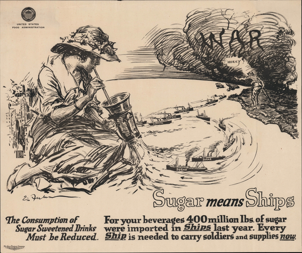
1917 Fuhr Propaganda Map, World War I Sugar Rationing
Requisitioning the sugar industry.
$1,200.00

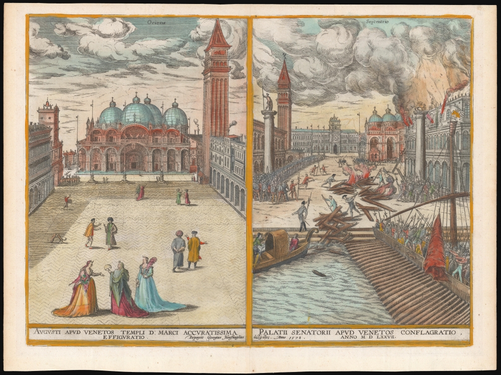
1598 Braun and Hogenberg Views of Venice, drawn firsthand by Joris Hoefnagel
Hoefnagel's Eyewitness Views of Venice.
$1,100.00

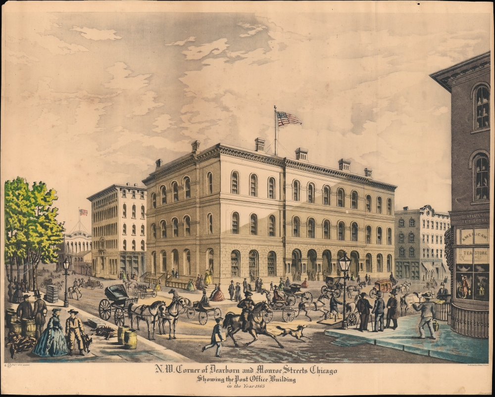
1930 Varin View of the Post Office Building, Chicago, Illinois
One of the Grandest Structures of Pre-Fire Chicago.
$950.00

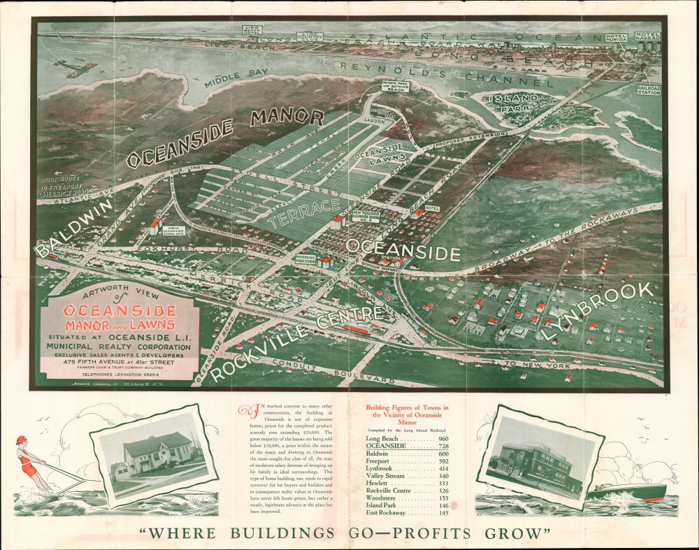
1925 Artworth Promotional View of Oceanside, Long Island, New York
Where Buildings Go, Profits Grow.
$600.00