Most recently added antique and rare maps as of 8/24/2025.
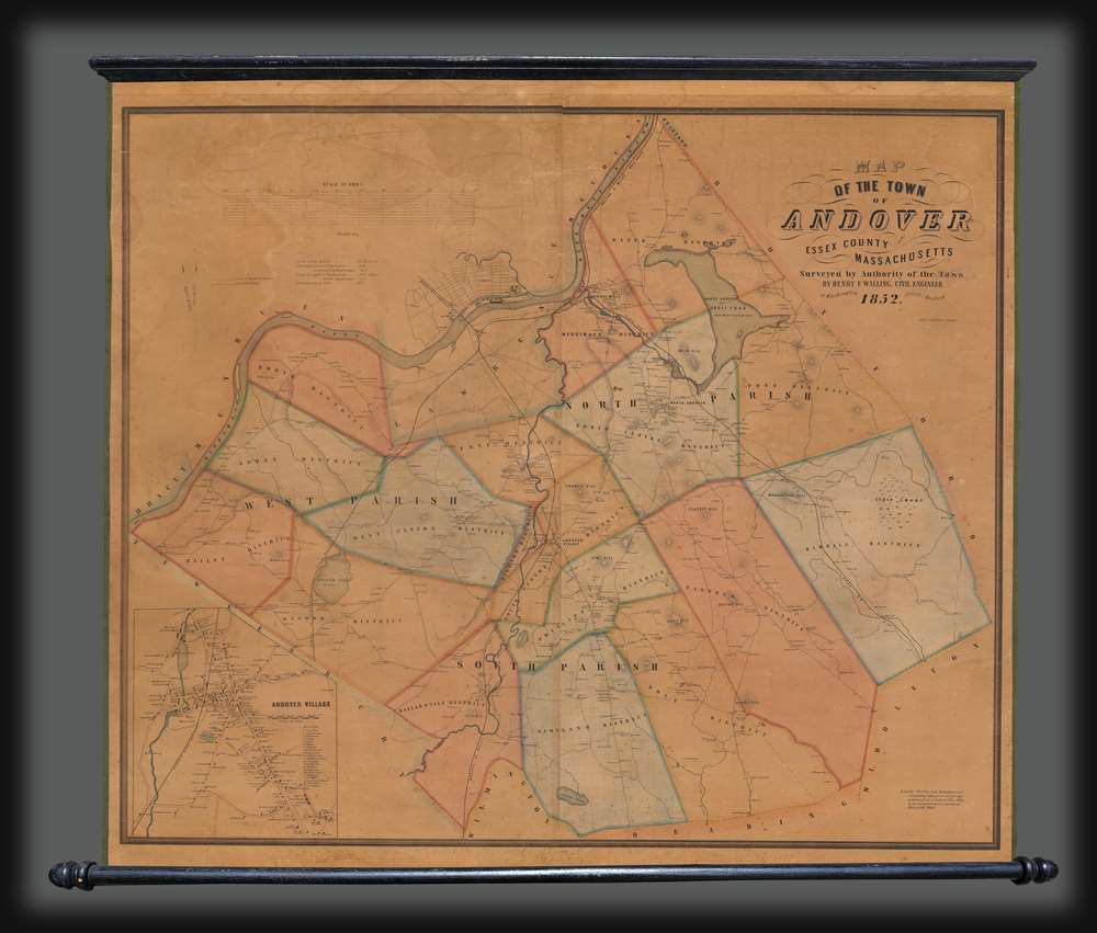
'The most complete map of the state of Washington ever printed.' - Post-Intelligencer
$2,500.00
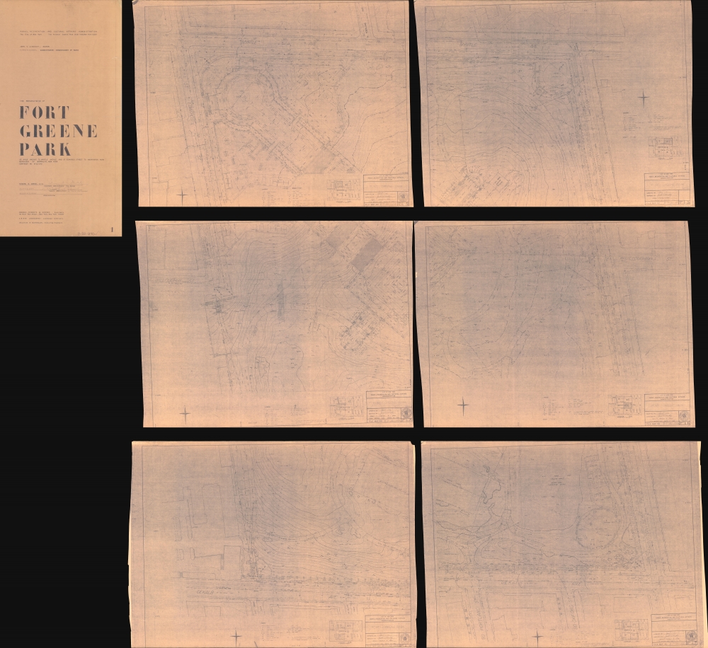
Resurrecting one of Brooklyn's oldest parks.
$2,000.00
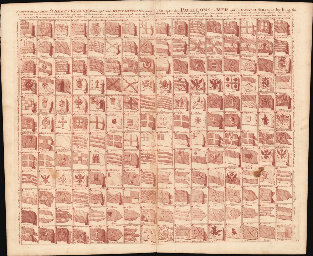
First truly American flag - in RED!
$2,000.00
French SAS operations in Brittany, France, in June 1944.
$2,000.00
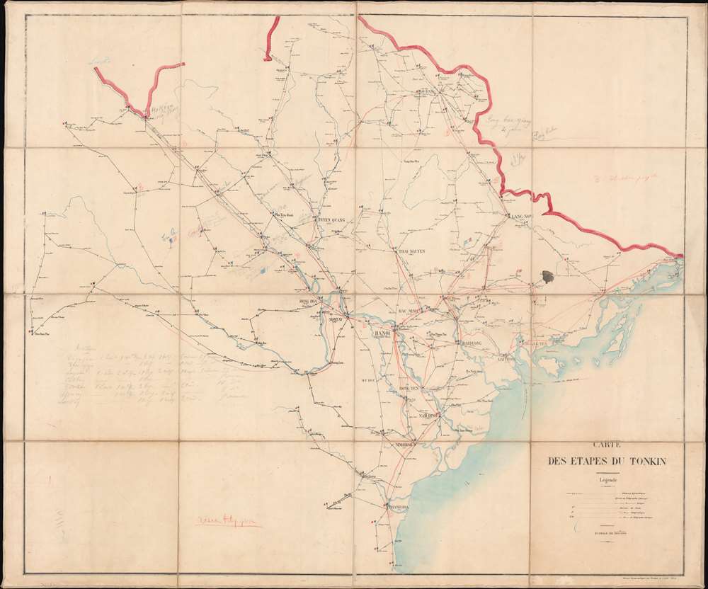
French pacification of Tonkin.
$1,500.00
Remarkable Caucasus Cartography.
$950.00
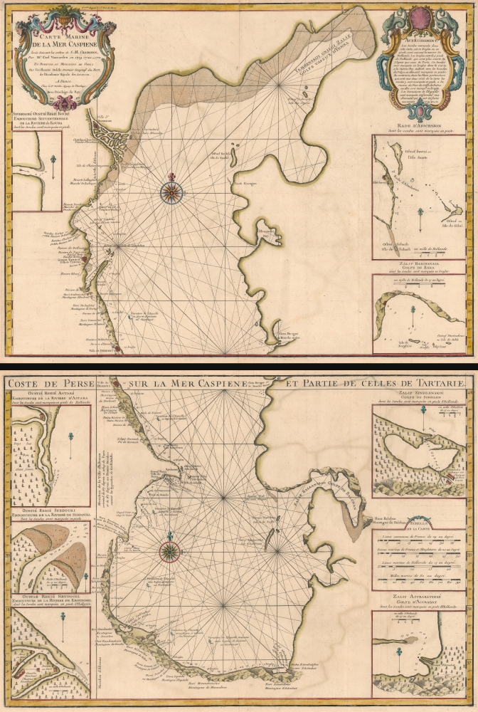
First accurate map of the Caspian Sea.
$900.00
Confederate Civil War Map.
$850.00
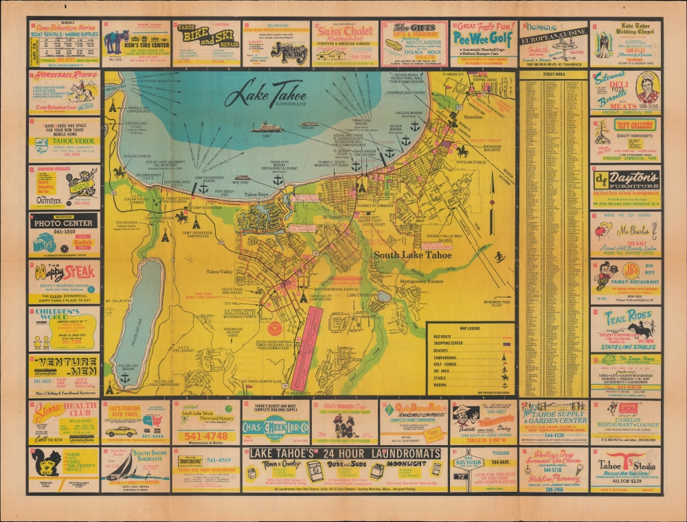
Ephemeral Map of Ephemeral City in the Desert.
$500.00
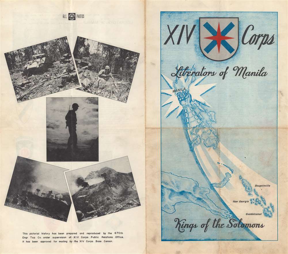
Liberators of Manila... Kings of the Solomons.
$400.00
Pre-War Waikiki and Honolulu.
$400.00
One year after Pearl Harbor.
$375.00
Turning the Tide in the West.
$350.00
Charysyn's own copy of her mammoth and innovative in-station NY Transit Map.
$6,000.00
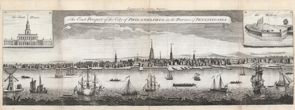
One of the Earliest Acquirable Views of Philadelphia.
$3,250.00
French-Printed Carte á Figures.
$2,950.00
Modernizing Public Transit in Tashkent.
$2,800.00


