
Wüllerstorf-Urbair, Bernhard von
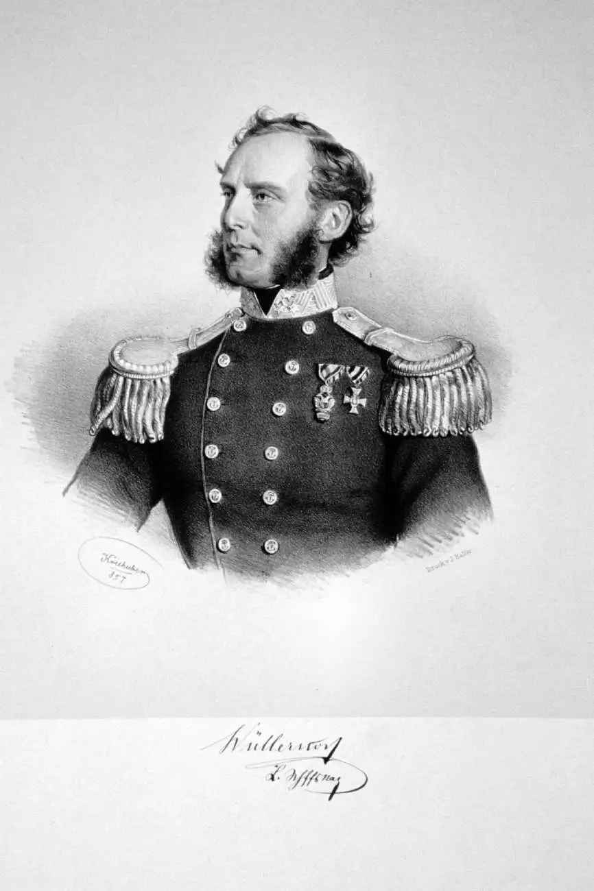
Baron Bernhard von Wüllerstorf-Urbair (January 29, 1816 – August 10, 1883) was an Austrian naval officer and later Minister of Trade. Wüllerstorf-Urbair was born in Trieste, then ruled by Austria, and later returned to Italy to manage the naval observatory in Venice. He was made captain and Commodore of the Novara for its 1857 – 1859 circumnavigation of the globe, which he wrote about in a book titled Journey of the Austrian Frigate Novara around the Earth in 1857, 1858, 1859 under the command of Commodore B. von Wüllersdorf-Urbair (German title Reise der oesterreichischen Fregatte Novara um die Erde…).
A Bay in the Nicobars.
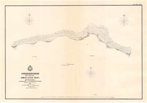
Komios (Arrow) Bucht auf Carnicobar / [Komios (Arrow) Bay at Car Nicobar].
$500.00
Acquire
- Digital Map Information
- Suitable for large format printing
- File Size: 13.7 MB
- File Type: ZIP / TIFF
- ICC color profile embedded
- Delivered instantly via download link
This is a rare 1858 Baron Bernhard von Wüllerstorf-Urbair map of Kimois Bay and the southern part of the island of Car, one of several maps the Indian Ocean drawn by the 1857 - 1859 Novara Expedition. This map includes a brief legend noting longitude, latitude, units of measurement, and conversion. (more details)
A Harbor in the Nicobars.
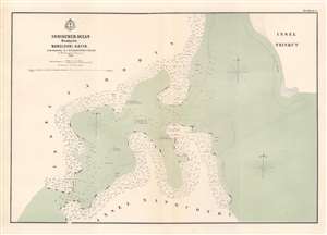
Nangcovri Hafen / [Nangcovri Harbor].
$500.00
Acquire
- Digital Map Information
- Suitable for large format printing
- File Size: 17.37 MB
- File Type: ZIP / TIFF
- ICC color profile embedded
- Delivered instantly via download link
This is a rare 1858 Baron Bernhard von Wüllerstorf-Urbair map of Nancowry Harbor, one of several maps the Indian Ocean drawn by the 1857 - 1859 Novara Expedition. This map includes a brief legend noting longitude, latitude, and units of measurement ('Viennese feet'), as well as common elements of maps in this series, such as numbers on the map indicating the hourly speed of the current in stagnant or falling water. (more details)
Island in the Nicobars.
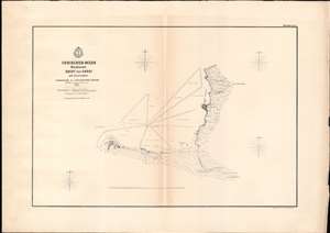
Indischer Ocean Nicobaren. Bucht von Saoui auf Carnicobar. / [Sawai Bay at Car Nicobar].
$200.00
Acquire
- Digital Map Information
- Suitable for large format printing
- File Size: 14.48 MB
- File Type: ZIP / TIFF
- ICC color profile embedded
- Delivered instantly via download link
This is a rare 1858 Baron Bernhard von Wüllerstorf-Urbair map of Sawai Bay and the northern part of the island of Car Nicobar, Nicobar Islands, Indian Ocean. It is one of series of maps of Indian Ocean islands compiled by the 1857 - 1859 Austrian Novara Expedition. This map includes a brief legend noting longitude, latitude, and units of measurement ('Viennese feet'), as well as common elements of maps in this series, such as numbers on the map indicating the hourly speed of the current in stagnant or falling water. (more details)
Island paradise in the Indian Ocean.
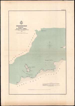
Indischer Ocean Nicobaren. St. Georgs Canal. / [St. Georgs Channel].
$200.00
Acquire
- Digital Map Information
- Suitable for large format printing
- File Size: 17.42 MB
- File Type: ZIP / TIFF
- ICC color profile embedded
- Delivered instantly via download link
This is a rare 1858 Baron Bernhard von Wüllerstorf-Urbair map of St. Georgs Channel, Nicobar Islands, Indian Ocean. St. Georgs Channel separates Great Nicobar and Little Nicobar. This is one of a series of maps of Indian Ocean islands compiled during the Austrian 1857 - 1859 Novara. This map includes a brief explanatory note and the common elements of maps in this series, such as numbers on the map indicating the hourly speed of the current in stagnant or falling water. (more details)