
Bailey, Oakley Hoopes
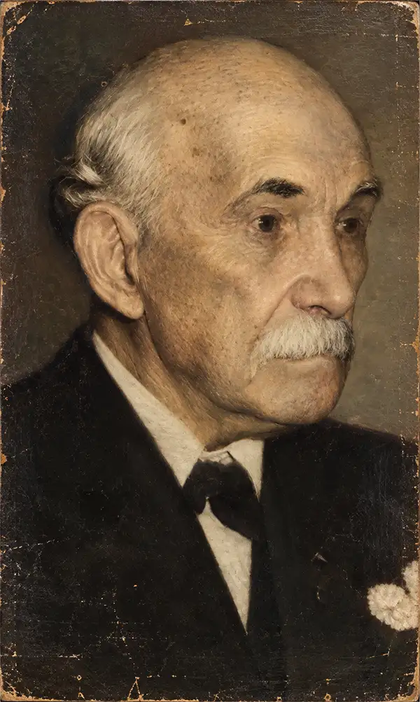
Bailey near the end of his long life.
Oakley Hoopes Bailey (June 14, 1843 - August 13, 1947) was a prolific American viewmaker, artist, and lithographer active in the late 19th and early 20th centuries. Bailey was born in Beloit, Mahoning County, Ohio. He matriculated in 1861 at Mount Union College in Alliance, Ohio, where he studied architecture. At the outbreak of the American Civil War (1861 - 1865), he briefly abandoned his studies for 2 years, during which time he saw combat as a Union soldier. After the war, in 1866, he returned to Mount Union to complete his degree. Bailey was the younger brother of another view artist, Howard Heston Bailey (1836 - 1878), and followed his brother into the print business, producing his first city views of Milwaukee, Wisconsin, in 1871. Active from 1871 to 1926, Bailey produced more than 375 recorded city views across more than 13 states and 2 Canadian provinces, making him one of the most active viewmakers in American history. In 1875, he settled in Cambridge, Massachusetts, and most of his subsequent work focused on Massachusetts and Connecticut. Bailey worked with many other American viewmakers of the period, including his brother, Howard Heston Bailey, Thaddeus M. Flower, and J. C. Hazen, among others. Even his wife, Sarah F. Bailey (1846 - 19??), got into the business, drawing at least one view of Watkins Glen, New York. Around 1904, in his 60s, Bailey entered a publishing partnership with Thomas S. Hughes, publishing their 'Aero-Views' as 'Hughes and Bailey'. Together, Hughes and Bailey revisited many of Bailey's early view sites, remaking them sometimes 20-40 years later, with the idea of setting them beside the earlier views to show how much the towns had changed. The partnership lasted until about 1926. Bailey died in his hometown of Alliance at the ripe old age of 103.
References: Reps, John, Views and Viewmakers of Urban America, (Columbia: University of Missouri) 1984, page 162.
Hat Making Capital of the World.
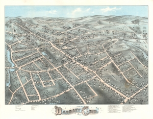
View of Danbury Conn. 1875.
$2,500.00
Acquire
- Digital Map Information
- Suitable for large format printing
- File Size: 42.16 MB
- File Type: ZIP / TIFF
- ICC color profile embedded
- Delivered instantly via download link
This is a striking 1875 O. H. Bailey chromolithograph bird's-eye view map of Danbury, Connecticut, 'Hat Capital of the World'. (more details)
New Bedford's Transformation from a Whaling Town to a Mill City.
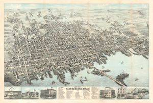
View of the City of New Bedford, Mass. 1876.
$2,200.00
Acquire
- Digital Map Information
- Suitable for large format printing
- File Size: 71.77 MB
- File Type: ZIP / TIFF
- ICC color profile embedded
- Delivered instantly via download link
This is the 1876 first state of Oakley Hoopes Bailey chromolithograph bird's-eye view of New Bedford, Massachusetts. The view captures New Bedford as it transitioned from a wealthy whaling town to a wealthy mill town. (more details)
Seat of Hunterdon County.
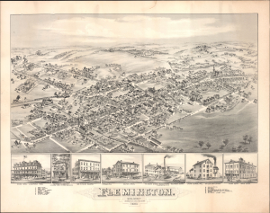
Flemington. New Jersey.
$1,200.00
Acquire
- Digital Map Information
- Suitable for large format printing
- Full resolution TIFF file
- ICC color profile embedded
- Delivered instantly via download link
This is an 1883 O. H. Bailey bird's-eye view of Flemington, New Jersey. It was produced as the town was undergoing a post-Civil War boom, driven largely by greater integration with regional rail networks. Today, Flemington is admired for the many Victorian and Federal-era buildings lining its downtown streets, many of which are illustrated here. (more details)
Largest bird's-eye view of Westborough.
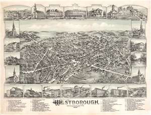
Westborough Massachusetts.
$1,800.00
Acquire
- Digital Map Information
- Suitable for large format printing
- File Size: 60.92 MB
- File Type: ZIP / TIFF
- ICC color profile embedded
- Delivered instantly via download link
A striking O. H. Bailey two-color chromolithograph bird's-eye view of Westborough, Massachusetts. (more details)
Clever land scam in Long Island.
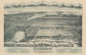
Riverhead, The Home Resort of Long Island.
$2,000.00
Acquire
- Digital Map Information
- Suitable for large format printing
- File Size: 61.71 MB
- File Type: ZIP / TIFF
- ICC color profile embedded
- Delivered instantly via download link
A striking 2-color 1893 chromolithograph view of a speculative community near Riverhead, Long Island, New York. This map was prepared to promote a late 19th-century Long Island Land scam targeting middle-class Brooklynites. The scam lured prospective buyers with 'free' land in a 'lively' town, only to defraud them by collecting 'title and transfer' fees and promoting too-good-to-be-true offers on adjacent lots - none of which actually existed or were developed. (more details)
Heart of the Hudson Valley.
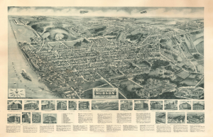
Aero-View of Hudson New York 1923.
$4,000.00
Acquire
- Digital Map Information
- Suitable for large format printing
- File Size: 48.43 MB
- File Type: ZIP / TIFF
- ICC color profile embedded
- Delivered instantly via download link
This is a rare c. 1923 bird's-eye view of Hudson, New York, by the firm of Hughes and Bailey. Hudson is one of the most beloved and vibrant towns in the Mid-Hudson Valley. (more details)