
Croisey, P.
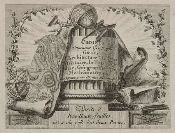
P. Croisey (fl. c. 1765 – c. 1800) was a French line-engraver active in the 18th century. Croisey was based in Versailles, France and is best known for his fine portrait of Marie Antoinette, when Dauphiness. He also maintained a location on Rue Haute-Feuille, Pairs. One of his early trade cards survives in which he describes himself as a geographical engineer and engraver of civil and military architecture, topography, and geography. His wife, Madame Croisey was also an engraver, specializing in music and text. He died around 1800.
One of Italy's most celebrated cities.
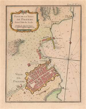
Plan de la Ville de Palerme dans l'isle de Sicile.
$250.00
Acquire
- Digital Map Information
- Suitable for large format printing
- Full resolution TIFF file
- ICC color profile embedded
- Delivered instantly via download link
This is a beautiful 1764 Jacques-Nicolas Bellin city plan or map of Palermo, Italy. The city occupies the bottom portion of the map, with its citadel and shore battery both labeled. its city walls are clearly illustrated. The Chemin de Montreal (the road to Monreale) is labeled to the left of the city and heads west.The Oreto River appears south of Palermo, while the city's port is to its north. A small fort and storage facilities near the port are both illustrated and labeled, along with a signal lantern. An aqueduct brings water from the nearby mountains to a site labeled 'Aqua Santa', which would translate to 'Holy Water'. Today, Palermo is the economic and tourist capital of Sicily and draws people because of its history, art, culture, music, and food. Its Mediterranean climate, incredible architecture, and nightlife all appeal to tourists. The city is also home to eight UNESCO World Heritage sites dating from the era of the Norman Kingdom of Sicily (1130 - 1194): three cathedrals, two palaces, and a bridge. Two other cathedrals, in Cefalù and Monreale, are also part of the UNESCO World Heritage Site designation. (more details)
France and the Nguyễn.
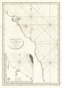
Troisieme Feuille des cotes de la Cochinchine depuis le Cap Boxhornen jusqu'au Cap Choumay.
$300.00
Acquire
- Digital Map Information
- Suitable for large format printing
- Full resolution TIFF file
- ICC color profile embedded
- Delivered instantly via download link
This is a 1798 French Dépôt de la Marine nautical map of southern Vietnam, then the kingdom of Cochinchine. This chart marks the early stages of French involvement in the Tây Sơn Rebellion in support of Nguyễn Ánh, who would become Vietnam's first emperor. (more details)