
Davies and Company

Davies and Company (fl. c. 1880 - 1930) was an engraving and lithography firm active in London during the late 19th century. The firm engraved nautical charts for the British Admiralty Hydrographic offices in the 1880s to the early 1920s. The firm may be the successor of Davies, Bryer, and Company (fl. 1866 - 1872), who also worked with the Admiralty, which dissolved in 1872. It may also be related to the firm of Robert Davies, Maddock, and Company, which was dissolved in 1905. Their imprint, as Davies and Company, appears as early as 1880 and as late as the 1920s, but the firm may have closed its doors by that point and the imprints persist on map plates only as a legacy.
Where the Mississippi meets the Gulf.
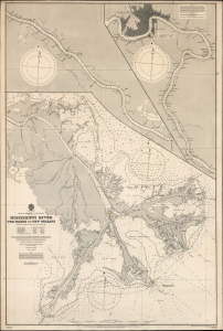
Gulf of Mexico. Louisiana. Mississippi River The Passes to New Orleans.
$1,500.00
Acquire
- Digital Map Information
- Suitable for large format printing
- File Size: 71.86 MB
- File Type: ZIP / TIFF
- ICC color profile embedded
- Delivered instantly via download link
This is a 1903 / 1908 British Admiralty nautical chart or map of the Mississippi River from New Orleans to The Passes: a richly detailed working chart for the navigation of one of the most important water routes in the United States, with all the data necessary for navigating the mouth of the great river. (more details)
New Zealand hydrography.
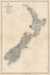
Pacific Ocean. Nea Zealand From Surveys by Captain J. L. Stokes, Commanders B. Drury and G. H. Richards...
$1,000.00
Acquire
- Digital Map Information
- Suitable for large format printing
- File Size: 55.54 MB
- File Type: ZIP / TIFF
- ICC color profile embedded
- Delivered instantly via download link
A rare 1917 British Admiralty nautical chart or maritime map of New Zealand. The map covers both North and South Islands and the surrounding waters. While depth soundings along the coastlines are extensive, soundings further out are few and far between. Lighthouses throughout are marked using the standard red and yellow convention. This map is based upon surveys completed by J. L. Stokes, one of the premier British hydrographers of his generation. Inland detail is derived from surveys completed by the Wellington Public Works Department, c. 1885. (more details)
Notes the island's many sugar processing windmills.
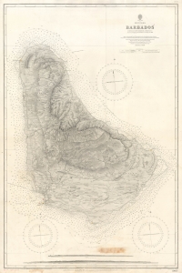
West Indies Barbados.
$850.00
Acquire
- Digital Map Information
- Suitable for large format printing
- File Size: 51.2 MB
- File Type: ZIP / TIFF
- ICC color profile embedded
- Delivered instantly via download link
An impressive 1927 British Admiralty nautical chart of Barbados, with manuscript updates to 1937. (more details)