
Davies and Company (sold)

Davies and Company (fl. c. 1880 - 1930) was an engraving and lithography firm active in London during the late 19th century. The firm engraved nautical charts for the British Admiralty Hydrographic offices in the 1880s to the early 1920s. The firm may be the successor of Davies, Bryer, and Company (fl. 1866 - 1872), who also worked with the Admiralty, which dissolved in 1872. It may also be related to the firm of Robert Davies, Maddock, and Company, which was dissolved in 1905. Their imprint, as Davies and Company, appears as early as 1880 and as late as the 1920s, but the firm may have closed its doors by that point and the imprints persist on map plates only as a legacy.
Disputed Islands. Sailor repairs.
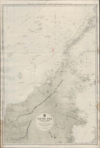
China Sea - Southern Portion - Eastern Sheet Compiled from the latest surveys, 1881. [Admiralty Chart No.] 2660 B.
sold
- Digital Map Information
- Suitable for large format printing
- File Size: 32.81 MB
- File Type: ZIP / TIFF
- ICC color profile embedded
- Delivered instantly via download link
An impressive 1884 nautical chart of a portion of the South China Sea produced by the British Admiralty. Displaying extensive evidence of use as a working chart aboard a ship, it exhibits old stiched sailor repairs. It covers the waters to the north and east of Borneo and surrounding Palawan at the western edge of the Philippines. Also included are the Spratley Islands, a disputed archipelago of islands, islets, cays, reefs, and shoals spread out over an area of some 164,000 square miles. (more details)
Where the Mississippi meets the Gulf.
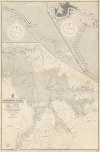
Gulf of Mexico. Louisiana. Mississippi River The Passes to New Orleans.
sold
- Digital Map Information
- Suitable for large format printing
- File Size: 136.18 MB
- File Type: ZIP / TIFF
- ICC color profile embedded
- Delivered instantly via download link
This is a 1919 British Admiralty nautical chart or map of the Mississippi River from New Orleans to The Passes - thus detailing one of the most important water routes in the United States. Providing a plethora of information necessary to navigate the river, this chart offers a detailed look at the Great River. (more details)
Writing about Tasmania one should visit Tasmania. - Capt. James Cook
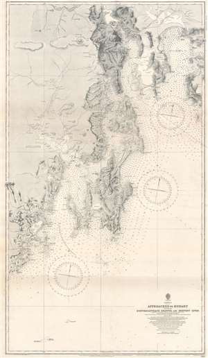
Approaches to Hobart Including D'Entrecasteaux Channel and Derwent River.
sold
- Digital Map Information
- Suitable for large format printing
- File Size: 71.76 MB
- File Type: ZIP / TIFF
- ICC color profile embedded
- Delivered instantly via download link
This is a 1921 British Admiralty nautical chart or maritime map of the approaches to Hobart, Tasmania, the Australian island state's capital and most populous city. Coverage extends from Mt. Lord south to Piedra Blanca and from Adamson Peak east to the Tasman Peninsula and Wedge Bay. Coastal bays, capes, beaches, and points, and other features are identified with countless depth soundings throughout. The Derwent River is presented in precise detail. Rivers, mountains, and other physical features near the coast are illustrated and labeled, but very little detail is present inland. The Main Line Railway, the Sorell Railway, and the Derwent Valley Railway are illustrated. (more details)