
Disturnell, John
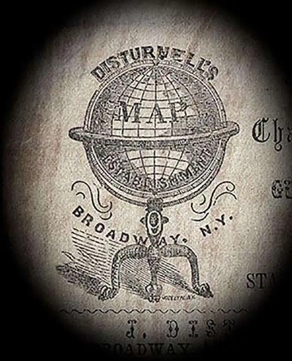
John Disturnell (1801 - 1877) was a New York book and map publisher operating gin the early to middle 19th century. Disturnell worked with various engravers and cartographers over the years including Calvin Smith, J. H. Young, and G. E. Sherman as well as the Ensign, Bridgeman and Fanning group. His primary focus seems to have been New York and vicinity, however, his most significant contribution to U.S. history came from the opposite side of the continent. When Nicholas P. Trist was sent to Mexico to negotiate the 1847 Treaty of Guadeloupe Hidalgo which defined the Mexican-American border at the end of the Mexican-American War, he carried with him Disturnell's Map of America. This map, among other inaccuracies, located El Paso a whopping 34 miles north and 100 miles east of its true location. Since Trist based the border treaty on mileages from El Paso, the obvious subsequent confusion lead to the conflicts that were to follow. The border problems between the United States and Mexico that resulted from this error were not resolved until 1963.
Uncommon separate issue map of New York.

Map of the State of New York Showing the location of Boundaries of Counties and Townships Cities, Towns and Villages: the Courses of Rail Roads, Canals and Stage Roads.
$125.00
Acquire
- Digital Map Information
- Suitable for large format printing
- Full resolution TIFF file
- ICC color profile embedded
- Delivered instantly via download link
This is a separate-issue 1858 J. Calvin Smith and J. Disturnell pocket map of New York. (more details)
A rare map of New York City labeling school districts.
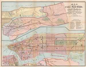
Map of the City of New York, Showing the School Districts, Wards, Railroads, etc.
$450.00
Acquire
- Digital Map Information
- Suitable for large format printing
- File Size: 11.89 MB
- File Type: ZIP / TIFF
- ICC color profile embedded
- Delivered instantly via download link
This is an 1876 John Disturnell city map or plan of New York City. The map depicts the city in two halves: the portion of Manhattan island above 130th Street and the Bronx north to Woodlawn Heights is illustrated on the top half of the sheet, while Manhattan below ... (more details)