
Disturnell, John (sold)
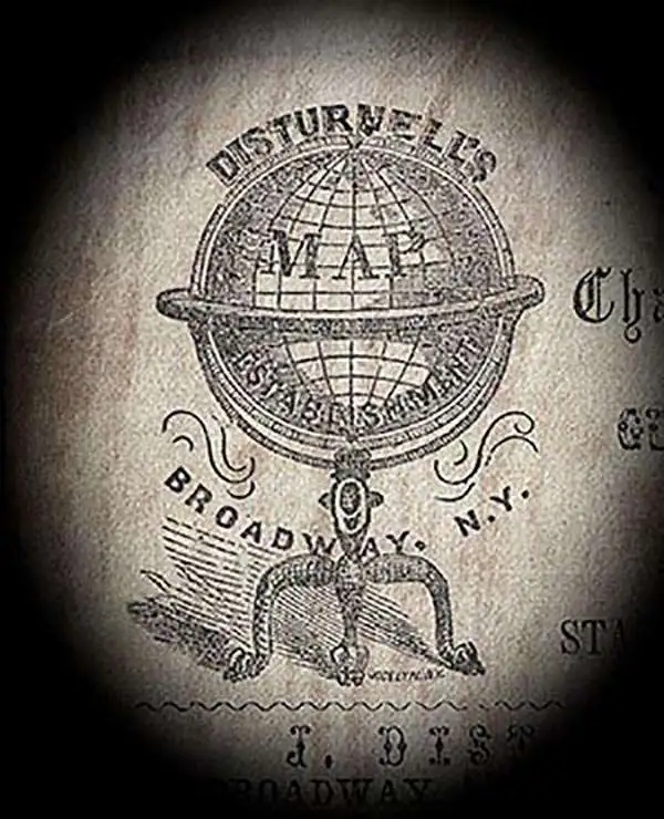
John Disturnell (1801 - 1877) was a New York book and map publisher operating gin the early to middle 19th century. Disturnell worked with various engravers and cartographers over the years including Calvin Smith, J. H. Young, and G. E. Sherman as well as the Ensign, Bridgeman and Fanning group. His primary focus seems to have been New York and vicinity, however, his most significant contribution to U.S. history came from the opposite side of the continent. When Nicholas P. Trist was sent to Mexico to negotiate the 1847 Treaty of Guadeloupe Hidalgo which defined the Mexican-American border at the end of the Mexican-American War, he carried with him Disturnell's Map of America. This map, among other inaccuracies, located El Paso a whopping 34 miles north and 100 miles east of its true location. Since Trist based the border treaty on mileages from El Paso, the obvious subsequent confusion lead to the conflicts that were to follow. The border problems between the United States and Mexico that resulted from this error were not resolved until 1963.
Created from a captured Mexican map.
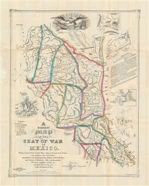
A Correct Map of the Seat of War in Mexico. Being a Copy of General Arista's Map, taken at Resaca de la Palma, with additions and Corrections; Embellished with Diagrams of the Battles of 8th and 9th May, and Capture of Monterey, with a memorandum of forces engaged, results, etc. and Plan of Vera Cruz and Castle of San Juan de Ulua.
sold
- Digital Map Information
- Suitable for large format printing
- Full resolution TIFF file
- ICC color profile embedded
- Delivered instantly via download link
This is a rare first-edition 1847 John Disturnell and Joseph Goldsborough Bruff map of the Mexico during the Mexican-American War (1846 - 1848). Depicting the region from Chihuahua to the Gulf of Mexico and from the Rio Grande to Mexico City, this map represents the most detailed cartography available to the United States Army at the beginning of the war. (more details)
Important Gold Rush map detailing the California Gold Region and showing Texas at its largest.
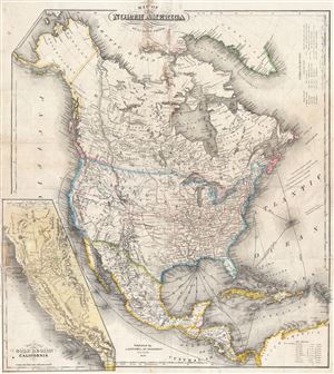
Map of North America by J. Calvin Smith.
sold
- Digital Map Information
- Suitable for large format printing
- DPI: 300
- File Size: 17.84 MB
- File Type: ZIP / TIFF
- ICC color profile embedded
- Delivered instantly via download link
An extremely scarce 1850 map of North America by J. Calvin Smith. Published to capitalize on the mass westward migrations associated with the 1849 California Gold Rush, this map covers all of North American and Central America from Panama to the Arctic Circle, ... (more details)
Important Gold Rush map detailing the California Gold Region and showing Texas at its largest.

Map of North America by J. Calvin Smith.
sold
- Digital Map Information
- Suitable for large format printing
- DPI: 300
- File Size: 22.62 MB
- File Type: ZIP / TIFF
- ICC color profile embedded
- Delivered instantly via download link
An extremely scarce 1850 map of North America by J. Calvin Smith. Published to capitalize on the mass westward migrations associated with the 1849 California Gold Rush, this map covers all of North American and Central America from Panama to the Arctic Circle, ... (more details)
Traces many of the expeditions mounted in search of the arctic explorer Captain Sir John Franklin and his crew.
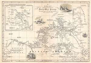
Chart Showing the Recent Search for a North-West Passage. Also the Coast Explored in Search of Sir John Franklin, Between the Years 1848 and 1854.
sold
- Digital Map Information
- Suitable for large format printing
- DPI: 300
- File Size: 3.48 MB
- File Type: ZIP / TIFF
- ICC color profile embedded
- Delivered instantly via download link
This is an 1854 John Disturnell map of northern North America tracing the explorations in the North American Arctic in search of Sir John Franklin, an Arctic explorer that went missing in 1847. The map depicts the region from Alaska (Russian America) to Greenland and from Ellesmere Island to Hudson Bay. Incredibly detailed, myriad locations throughout the region are identified. The courses of several different expeditions are traced, including the H.M.S. Investigator and the H.M.S. Phoenix, along with the expeditions led by Lieutenant De Haven and Captains McClure and Collinson. The location where the Resolute and the Intrepid were abandoned in May 1854 is also noted. An inset map in the upper left corner illustrates the routes taken by Lieutenant De Haven in 1850 and Captain Penny and his crew in 1851 in and north of Wellington Channel. Several vignettes also populate the map, including a polar bear, ice hummocks, and the three graves discovered at Beechey Island. (more details)
An interesting 1876 reprint of a 1782 map of Manhattan.
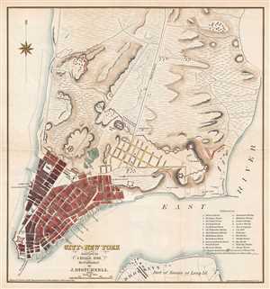
City of New York. Surveyed by J. Hills, 1782. Re-Published by J. Disturnell. 1876.
sold
- Digital Map Information
- Suitable for large format printing
- File Size: 3.26 MB
- File Type: ZIP / TIFF
- ICC color profile embedded
- Delivered instantly via download link
This is an 1876 John Disturnell republication of a 1782 J. Hills city map or plan of New York City. The map depicts the lower half of Manhattan and a small part of Long Island, including Brooklyn. Most of Manhattan is undeveloped. Streets are labeled from the ... (more details)
An interesting 1876 reprint of a 1782 map of Manhattan.
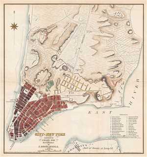
City of New York. Surveyed by J. Hills, 1782. Re-Published by J. Disturnell. 1876.
sold
- Digital Map Information
- Suitable for large format printing
- Full resolution TIFF file
- ICC color profile embedded
- Delivered instantly via download link
This is an 1876 John Disturnell republication of a 1782 J. Hills city map or plan of New York City. The map depicts the lower half of Manhattan and a small part of Long Island, including Brooklyn. Most of Manhattan is undeveloped. Streets are labeled from the ... (more details)