
Frézier, Amédée-François
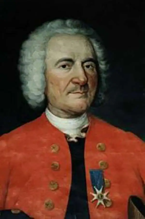
Amédée-François Frézier (1682 - October 26, 1773) was a French military engineer, mathematician, spy, and explorer. He was born in Savoy to a professor and lawyer. He was sent to be educated in Paris, where he studied science and theology, and wrote his thesis on Astronomy and Navigation. He went on to study art and architecture in Italy with particular attention to fortifications. On his return to France in 1700 he was commissioned to the military: by 1712 he had risen to a lieutenant-colonelcy of Army Intelligence, and was sent to South America - in the guise of a merchant captain - to study defense fortifications, ports, and the coastal charts of Spanish Colonial Chile and Peru. The journey would result in the production of more than a dozen maps. In addition to his espionage work, he reported on the flora and fauna and produce of the regions he visited - bringing back to Europe specimens of native American strawberry, his namesake fruit. He would travel again in 1719, assigned as Engineer-in-Chief to Santo Domingo and tasked with the fortification of the colony; to this end he produced a map of the island and a plan of Santo Domingo. He returned to Europe, was rewarded for his labors, and went on to design fortifications in Philippsburg and Landau. In 1739, he was made Director of Fortifications for Brittany.
One of the best French maps of Hispaniola.
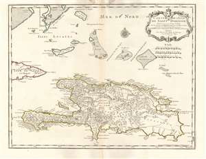
Carte de l'Isle de Saint Domingue.
$650.00
Acquire
- Digital Map Information
- Suitable for large format printing
- Full resolution TIFF file
- ICC color profile embedded
- Delivered instantly via download link
This is a 1745 Phillipe Buache edition of Guillaume De l'Isle's beautifully engraved 1725 map of the island of Hispaniola or Saint Domingue, modern-day Haiti and the Dominican Republic. It is considered one of the best and most detailed maps of the island if its generation. (more details)
Scarce first state.
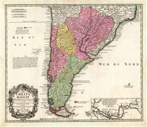
Typus Geographicus Chili Paraguay Freti Magellanici etc.
$650.00
Acquire
- Digital Map Information
- Suitable for large format printing
- DPI: 600
- File Size: 70.49 MB
- File Type: ZIP / TIFF
- ICC color profile embedded
- Delivered instantly via download link
This is an early example of the 1733 Homann Heirs map of southern South America, in a rare first state example. It covers roughly from 18 degrees south latitude south to Tierra del Fuego, and includes the modern-day nations of Paraguay, Chile, Uruguay, and Argentina, along with the southern portions of Brazil and Bolivia. The map renders the entire region in extraordinary detail offering both topographical and political information with forest and mountains beautifully rendered in profile. (more details)