
Heather, William
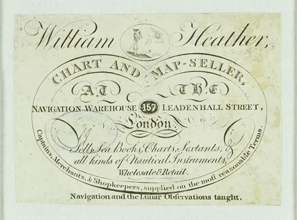
William Heather (1793 – 1812) was a British nautical chart engraver and publisher active in the late 18th and early 19th centuries. Heather was born in Lambeth but shortly after relocated with his family to the parish of Christ Church, Southwark. He was apprenticed to George Michell, a London stationer. Heather reached his maturity and became a member of the Stationers Company in 1789. His earliest known cartographic work appeared in conjunction with the offices of John Hamilton Moore, with whom he was employed. Around 1793 Heather started his own competing nautical chart business at 157 Ledenhall Street, London. This office remained the home of his firm for an astounding 85 years. Heather soon took on the Scotsman John William Norie as an apprentice Norie eventually inherited Heather's business and map plates, beginning his own long career as a maker of English blueback charts.
One of Heather's first Blueblacks.
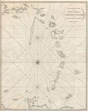
A New and Improved Chart of the West India or Carribbee Islands.
$2,000.00
Acquire
- Digital Map Information
- Suitable for large format printing
- DPI: 600
- File Size: 68.36 MB
- File Type: ZIP / TIFF
- ICC color profile embedded
- Delivered instantly via download link
This is a rare early example of a blueback chart of the West Indies Windward Isles made in 1795 by William Heather, a pioneer in the genre. It focuses on the Lesser Antilles, often known in English as the Leeward and Windward Islands, towards the end of a period of near-constant warfare between European powers over control of the Caribbean. (more details)
The Wash and the Humber.
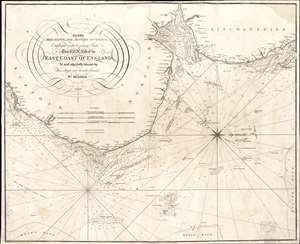
To the Merchants and Masters of Vessels Employed in the Coasting Trade etc. This Chart of the East Coast of England is most respectfully dedicated by their obliged and humble servant Wm. Heather.
$350.00
Acquire
- Digital Map Information
- Suitable for large format printing
- Full resolution TIFF file
- ICC color profile embedded
- Delivered instantly via download link
This is an 1810 William Heather and John Norie nautical chart or maritime map of the east coast of England, including parts of Suffolk, Norfolk, and Lincolnshire. The coasts are illustrated in astonishing detail. Numerous depth soundings appear along the coast, with the greatest concentrations off the coast of Yarmouth, in The Wash (the rectangular estuary/bay between Norfolk and Lincolnshire) and the Humber, a tidal estuary in Lincolnshire. Sands, overfalls, shoals, and other hazards are marked, and depth soundings state the difference in depth above those hazards. Coastal towns are identified, and river mouths are illustrated, but no other inland detail is provided. A beautiful compass rose appears in the North Sea. (more details)