
Magini, Giovanni Antonio
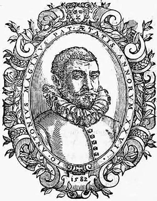
Giovanni Antonio Magini (June 13, 1555 - February 11, 1617) was an Italian astronomer, astrologer, cartographer, and mathematician. Born in Padua, he completed his studies in philosophy in Bologna in 1579. In 1588 he was chosen over Galileo Galilei as the chair of mathematics at the University of Bologna after the death of Egnatio Danti. Magini was a prolific writer, putting forth theories of celestial motion (he was a supporter of a geocentric solar system), the use of quadrants in surveying and astronomy, and trigonometry. In 1608, Magini produced the first map of Italy to improve on that of Gastaldi: his meticulously researched and beautifully engraved 8-sheet Italia Nuova was hugely influential: upon its publication, Blaeu promptly copied it to produce his own wall map of Italy; the rest of the mapmaking establishment swiftly followed suit. Consequently, virtually every 17th century map of Italy can be identified as a derivative of Magini's monumental achievement. His atlas, Atlante geografico d’Italia, was published posthumously by his son in 1620. This work was intended to include maps of every Italian region with exact nomenclature and historical notes. He also served as court astrologer for the Duke of Mantua.
Magini's First Latin Edition.
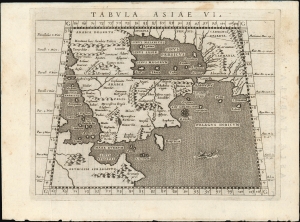
Tabula Asiae VI.
$650.00
Acquire
- Digital Map Information
- Suitable for large format printing
- Full resolution TIFF file
- ICC color profile embedded
- Delivered instantly via download link
This is Giovanni Antonio Magini's Ptolemaic map of Arabia, appearing in his first 1596 edition of Ptolemy's Geographia. This new translation, engraved by Girolamo Porro, was the most attractively executed small-format edition of the ancient geographic text. (more details)
Africa and Anatolia as Known to the Ancients.
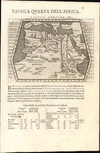
Tavola Quarta Dell' Africa./ Tavola Prima Dell'Asia.
$250.00
Acquire
- Digital Map Information
- Suitable for large format printing
- Full resolution TIFF file
- ICC color profile embedded
- Delivered instantly via download link
This is Giovanni Antonio Magini's Ptolemaic map of Africa, from the 1598 first Italian edition of Ptolemy's Geographia. The maps, engraved by Girolamo Porro, graced the most attractively executed small-format edition of the classical geographic text. The verso contains Magini's Ptolemaic map of Asia Minor. (more details)
The Most Distant island Mapped in Ptolemy's Era
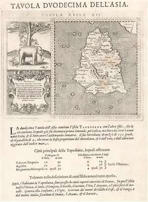
Tavola Duodecima Dell'Asia
$400.00
Acquire
- Digital Map Information
- Suitable for large format printing
- DPI: 600
- File Size: 4.52 MB
- File Type: ZIP / TIFF
- ICC color profile embedded
- Delivered instantly via download link
This is Giovanni Antonio Magini's map of Taprobana, appearing in his 1598 Italian edition of Ptolemy's Geographia. This island represented, for Ptolemy, nearly the limit of European geographic knowledge: later geographers typically identified the island as Sri Lanka, though Munster, Mercator and others speculated that the better candidate was Sumatra. The map is oriented to the north and includes not only ‘Taprobana’ but also twenty surrounding islands. The mainland appears above and on the right of the map, which would correspond to the Malay peninsula were the map correctly identified with Sumatra, although the map roughly adheres to Sri Lanka's teardrop shape. To the left of the map is an attractively-engraved illustration of an elephant, and eleven lines of text describing the pepper trade - explicitly identifying the island as Sumatra. Magini joins Gastaldi, and Ruscelli in following the model of Münster, whose version of this map in his own edition of Ptolemy contained these same elements.
Magini's Italian letterpress text below the engraved map describes the island, its people, and its produce. (more details)
Magini's Italian letterpress text below the engraved map describes the island, its people, and its produce. (more details)
Mantua, Patron of the Arts.
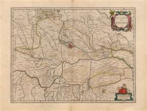
Ducato di Mantova.
$450.00
Acquire
- Digital Map Information
- Suitable for large format printing
- DPI: 600
- File Size: 49.64 MB
- File Type: ZIP / TIFF
- ICC color profile embedded
- Delivered instantly via download link
This is a beautiful, original color example of Joan Blaeu's map of the Duchy of Mantua, Lombardy, Italy. It is centered on the city of Mantua, set on its peninsula amidst the array of lakes created by the widening of the Mincio River. The region's network of rivers is evocatively presented. The Po dominates, roughly bisecting the map. Blaeu's work is a more skilled, artistic rendering of the Antonio Magini map of the same title. Magini's map was the first map of the duchy based on modern surveys, and at the time of this map's production remained the state-of-the-art. Its fortresses, towns, farms, and canals are faithfully presented - here, in the sharp, clear engraving that characterizes Blaeu. (more details)
17th Century Map of the Emilia-Romagna region.
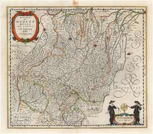
Ducato di Modena Regio et Carpi Col Dominio della Carfagnana.
$750.00
Acquire
- Digital Map Information
- Suitable for large format printing
- Full resolution TIFF file
- ICC color profile embedded
- Delivered instantly via download link
A beautiful, original color example of Willem and Joan Blaeu's map of the Emilia-Romagna region, focusing on the cities of Parma, Regio, and Modena. At the north and east extremes of the map, the cities of Mirandola, Ferrara, and Bologna are pictured as well. The superb copperplate is the product of the house of Blaeu at their height, with its delicately engraved cities, pictorially represented mountains and forests, and meticulously detailed cities, towns, and villages. Among its details is a road, connecting Parma, Regio, and Moden. The other regional maps would continue this road to Piacenza and Bologna, and beyond. Though not named, the course of the road corresponds to the Roman road known as the Via Aemilia. (more details)
Dominant Mapping of Italy of the 17th Century. First State.
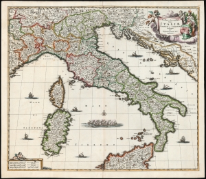
Novissima et Accuratissima totius Italiae, Corsicae et Sardiniae Descriptio Per Fredericum De Wit Amstelodami.
$1,250.00
Acquire
- Digital Map Information
- Suitable for large format printing
- Full resolution TIFF file
- ICC color profile embedded
- Delivered instantly via download link
This is a first-state example of Frederik de Wit's map of Italy, engraved as early as 1671. (more details)
Dominant Mapping of Italy of the 17th Century.
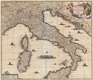
Novissima et Accuratissima totius Italiae, Corsicae et Sardiniae Descriptio Per Fredericum De Wit Amstelodami.
$850.00
Acquire
- Digital Map Information
- Suitable for large format printing
- Full resolution TIFF file
- ICC color profile embedded
- Delivered instantly via download link
This is an attractive map of Italy, engraved as early as 1671 by Frederik De Wit. The map covers the Italian Peninsula in its entirety including the Dalmatian coast, at the time controlled by the Republic of Venice, as well as the islands of Corsica, Sardinia, and part of Sicily. As with virtually every map of Italy produced in the seventeenth century, De Wit follows the model established by Magini's monumental 1608 Italia Nuova. Magini's map was justifiably influential, rendering the whole of Italy and its islands in magnificent detail with their river systems clearly presented and mountains shown pictorially. (more details)