
Migeon, J.

J. Migeon (fl. c. 1855 - 1899) was a late 19th century map publisher based in Paris, France. At various times Migeon maintained offices at76, Rue de la Harpe, 34 Rue du Chemin des Plantes, and 11 Rue du Moulin Vert, all in Paris. His most prominent publications are the Geographie Universal in 1854 (updated through 1874) and the Nouvel Atlas Illustré de Géographie Universelle in 1891. Little is known of Migeon's life and even his first name is uncertain.
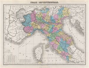
Italie Septentrionale.
$150.00
Acquire
- Digital Map Information
- Suitable for large format printing
- File Size: 7.66 MB
- File Type: ZIP / TIFF
- ICC color profile embedded
- Delivered instantly via download link
This is a fine example of the Migeon's 1876 map of northern Italy. It covers the northern territories of Tuscany, Modena, Parma, Kingdom of Sardinia, Lombardy, Venice and the State of the Church.Parts of France, Switzerland and Austria are also depicted. Divided ... (more details)
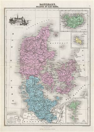
Danemark, Islande et Iles Faeroe.
$125.00
Acquire
- Digital Map Information
- Suitable for large format printing
- File Size: 7.77 MB
- File Type: ZIP / TIFF
- ICC color profile embedded
- Delivered instantly via download link
This is a fine example of J. Migeon's 1878 map of Denmark, Iceland and the Faroe Islands. It covers all of Denmark inclusive of the Duchy of Holstein. The Kattegat (Cattegat) is also identified. Three inset maps detailing Iceland, the Isle Bornholm and the ... (more details)
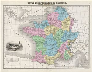
Gaule Independante et Romaine, Donnant sa Division en 17 Provinces.
$125.00
Acquire
- Digital Map Information
- Suitable for large format printing
- File Size: 8.55 MB
- File Type: ZIP / TIFF
- ICC color profile embedded
- Delivered instantly via download link
This is a fine example of J. Migeon's 1878 map of Gaul or France in ancient Roman times. The map covers from the southern part of england (Britannia) to the north of Spain and the Mediterranean. It details France under the Roman empire divided into 17 ... (more details)
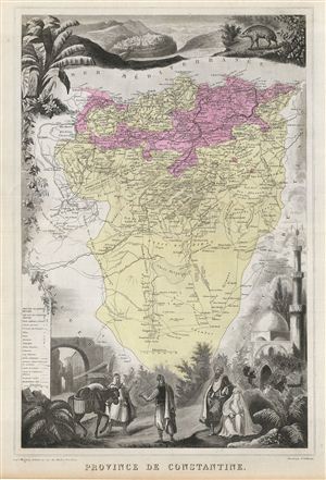
Province de Constantine.
$100.00
Acquire
- Digital Map Information
- Suitable for large format printing
- File Size: 9.98 MB
- File Type: ZIP / TIFF
- ICC color profile embedded
- Delivered instantly via download link
This is a fine example of J. Migeon's 1878 map of the Algerian Province of Constantine. The Department of Constantine existed from 1848 to 1962 and was one of the three administrative districts of French Algeria. The lower left quadrant contains a ... (more details)
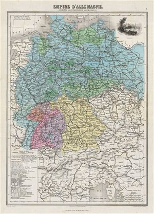
Empire d'Allemagne (Ancienne Confederation Germanique).
$125.00
Acquire
- Digital Map Information
- Suitable for large format printing
- File Size: 8.5 MB
- File Type: ZIP / TIFF
- ICC color profile embedded
- Delivered instantly via download link
This is a fine example of J. Migeon's 1878 map of the German empire. It covers the German Confederation from the Baltic Sea to the Adriatic Sea and from France to the Austro-Hungarian empire. The lower left quadrant features a table listing the ... (more details)
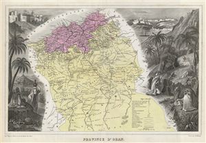
Province d'Oran.
$100.00
Acquire
- Digital Map Information
- Suitable for large format printing
- File Size: 9.57 MB
- File Type: ZIP / TIFF
- ICC color profile embedded
- Delivered instantly via download link
This is a fine example of J. Migeon's 1878 map of the Province of Oran, Algeria. The Department of Oran existed from 1848 to 1962 and was one of the three administrative districts of French Algeria. The lower right quadrant contains a legend ... (more details)
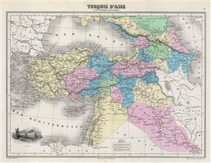
Turquie d'Asie et les Provinces du Caucase.
$125.00
Acquire
- Digital Map Information
- Suitable for large format printing
- File Size: 7.53 MB
- File Type: ZIP / TIFF
- ICC color profile embedded
- Delivered instantly via download link
This is a fine example of J. Migeon's 1878 map of Turkey in Asia and the Caucuses. Migeon's map covers from the Crimea south to egypt, west as far as the Aegean, and east to the Caspian Sea and the Persian Gulf. The map essentially covers the ... (more details)
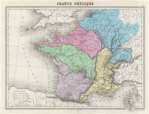
France Physique.
$125.00
Acquire
- Digital Map Information
- Suitable for large format printing
- File Size: 7.09 MB
- File Type: ZIP / TIFF
- ICC color profile embedded
- Delivered instantly via download link
This is fine example of the 1878 Migeon physical map of France. The map covers all of France detailing its various basins including Rhine, Seine, Loire, Garonne, Rhone and its coastal basins. The island of Corsica is included. Migeon ... (more details)